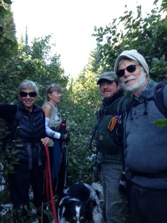
Debo Powers wrote the following general circulation article about some of our September activities. As you’ll see, the “Three Amigas” (Debo, Margaret Heaphy and Betsy Holycross) have donated a lot of time to the NFTA this month! . . .
The newly formed North Fork Trails Association (NFTA) under the leadership of Bill Walker has been very busy this summer exploring, compiling information and planning for future improvement of North Fork trails.
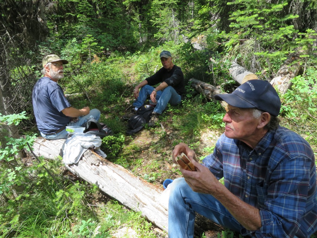
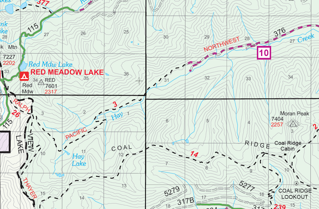
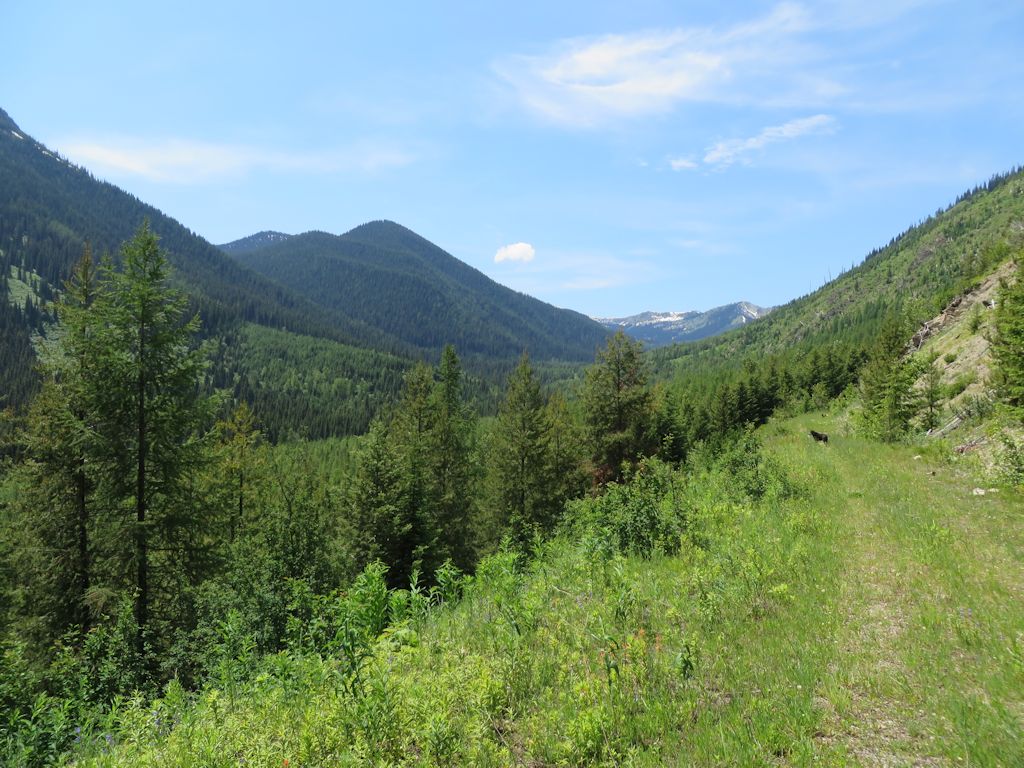
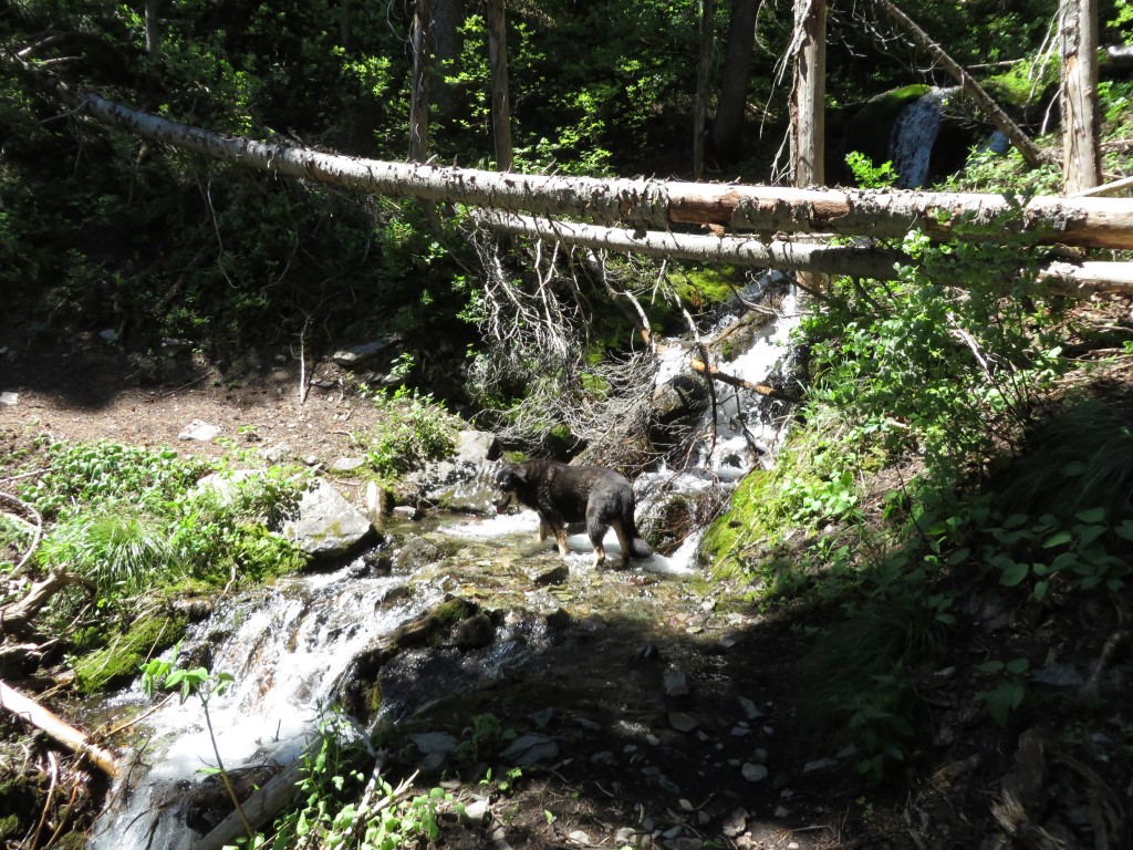
Bill made a presentation before the RAC committee on September 16 to ask for funding for trail maintenance for the stretch of trail between the Whitefish Divide Trail and the end of Hay Creek Road. In preparation for his presentation before the RAC committee, Bill organized a group Saturday, September 13, to hike this section from two different directions. Bill and Randy Kenyon hiked from Hay Creek Road while Margaret Heaphy, Betsy Holycross, and Debo Powers hiked from Red Meadow Road on the Whitefish Divide. When the two groups met, they exchanged car keys thus avoiding the need for a shuttle.
Two groups meet on trail and exchange car keys
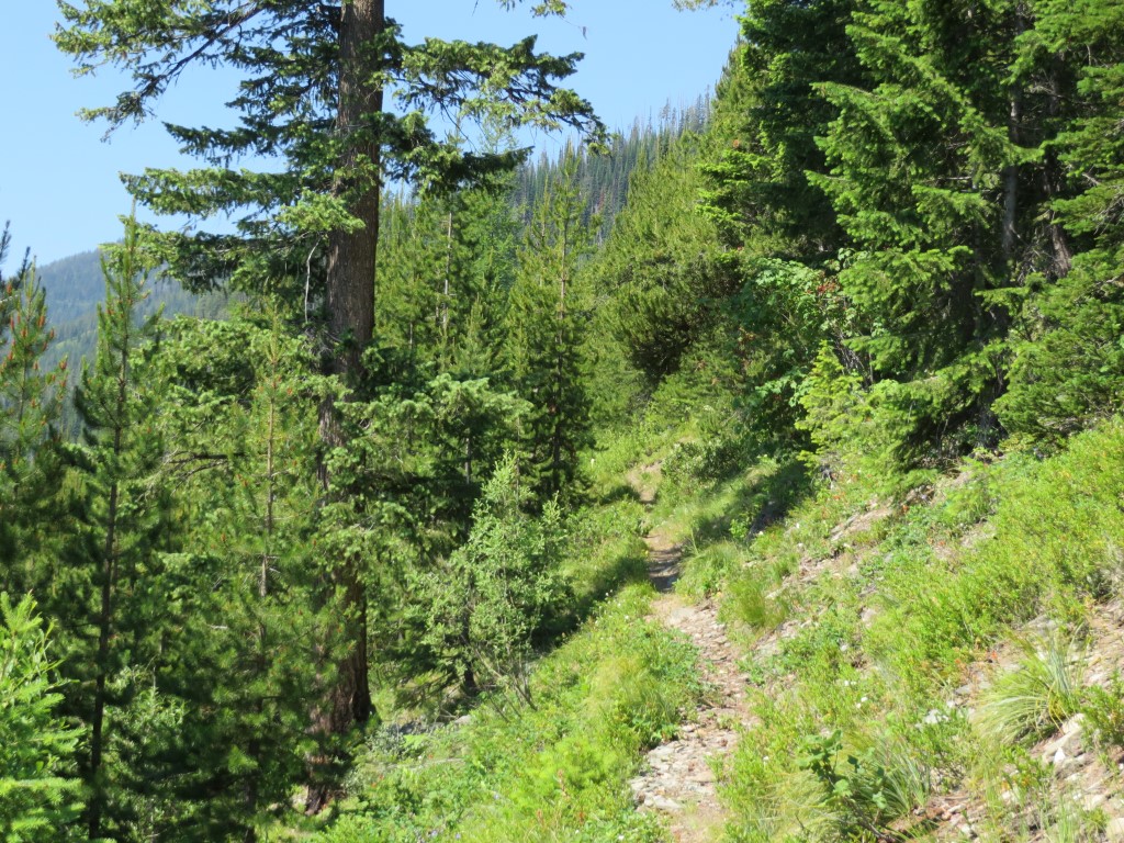
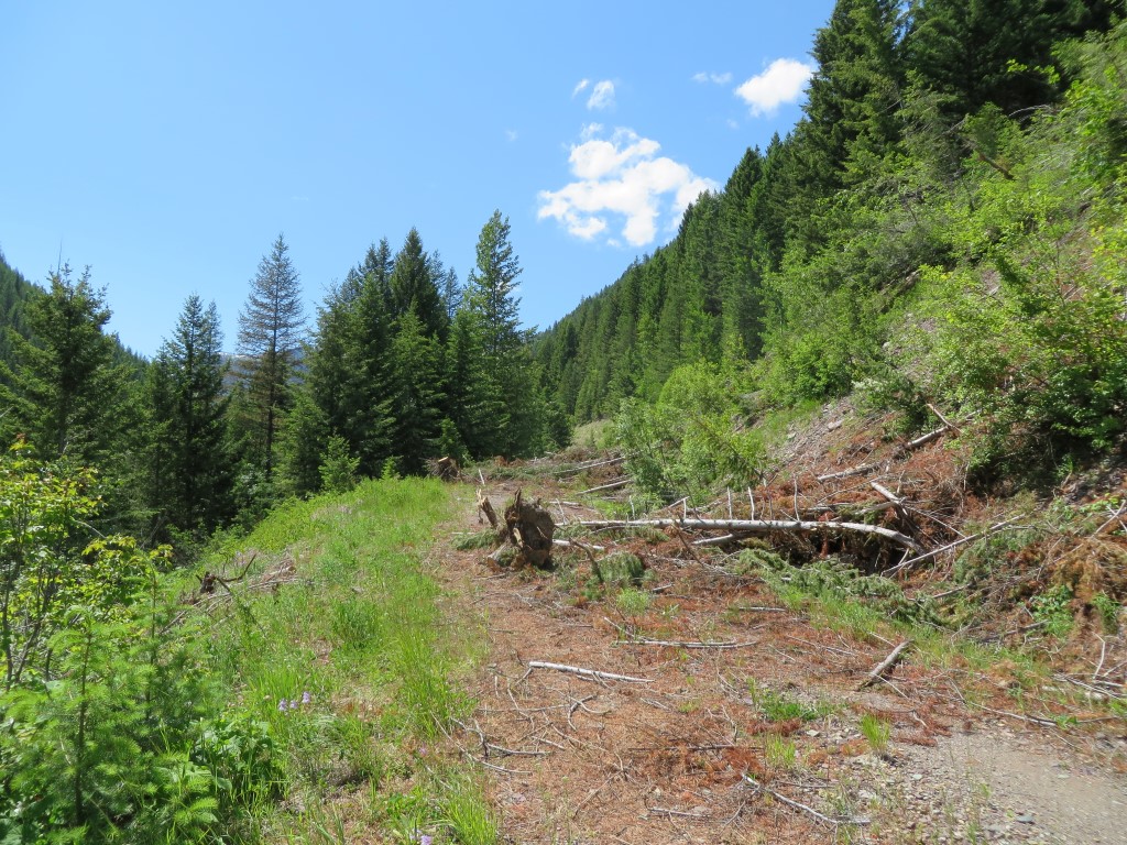
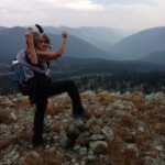
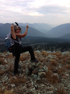
On Thursday, September 18, Bill transported NFTA scouts (Margaret, Betsy and Debo) to the Whitefish Divide trailhead on Red Meadow Road. Their mission was twofold: (1) hike along the Whitefish Divide Trail and find the junction with the Coal Ridge Trail and (2) reconnoiter the upper portion of the Coal Ridge Trail to find out if the trail was discernible. If the trail was passable and there was enough time for the long trek, the scouts would continue along Coal Ridge to the old lookout and patrol cabin and hike down to Hay Creek Road where Bill would pick them up. Although both parts of the mission were accomplished, the Coal Ridge Trail was so difficult to follow that the scouts returned the way they had come.
-
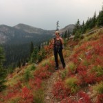
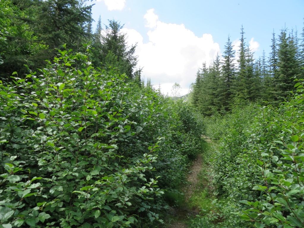
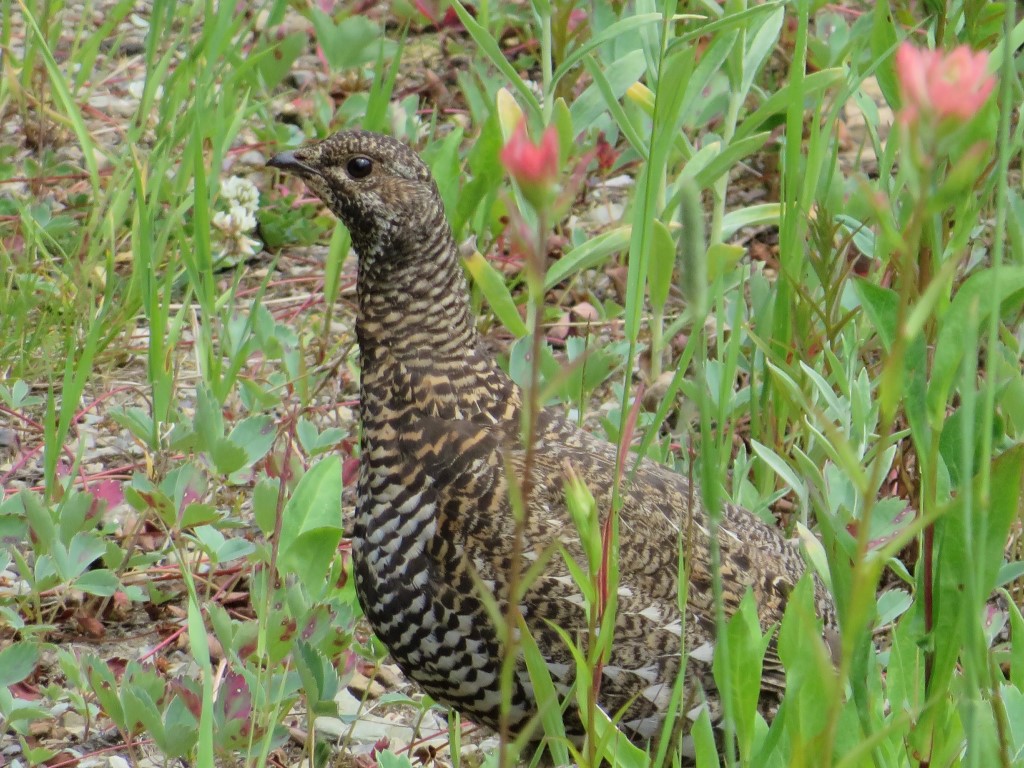
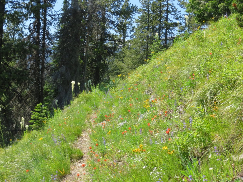
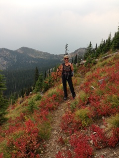
- Betsy and fall foliage on Whitefish Divide Trail
-
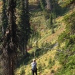
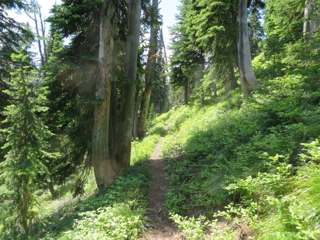
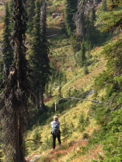
- Searching for a lost trail
-
- Building a cairn to mark the junction
If you would like to donate money, time, or resources to help improve the hiking trails in the North Fork, please contact Bill through the NFTA “Contact” page.