John Frederick, NFPA President and active member of the North Fork Trails Association, recently received a Flathead Audubon Society Conservation Achievement Recognition award for his years of work to protect the North Fork. This is a pretty big deal and a well-deserved honor.
Coal Ridge cabin gets more renovation work
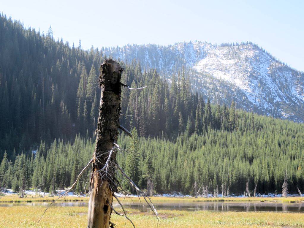
It seems the Coal Ridge “patrol cabin” (on Trail 14, just west of the Trail 2 intersection) was actually the original lookout up there. Anyways, it got new siding last week to go with the roof that was installed a couple of years ago . . .
An historic lookout up the North Fork on Coal Ridge received some badly needed care last week as Forest Service crews installed new siding on the weather-beaten building.
The Coal Ridge Lookout, which has sat atop the Whitefish Range since 1928, doesn’t resemble a lookout — the current map actually calls it a cabin. It has small windows, and the Osborne Fire Finder used to pinpoint fire starts was mounted on a metal pole outside of the building.
But it was a definitely a fire lookout, Flathead National Forest lookout Leif Haugen said.
For more information on this project, go to http://www.nwmt-ffla.org/#!2014-projects/c1nlq and scroll down to the “Moran Patrol Cabin” section.
Guide to Mount Nasukoin hike
Over at the Mago Guide site, Patti Hart has posted a very nice, very detailed guide to the Mount Nasukoin hike (Trail 375) . . .
The hike to Nasukoin is without a doubt one of our favorites in the Whitefish Range of the Flathead National Forest. It is in fact not one but three hikes where the first stop is Link Lake, next on up to Lake Mountain, and finally all the way up to the top of Nasukoin, the highest point in the Glacier View Ranger district.
Antley Creek Trail is open
On September 25, Rich Clark rode up Antley Creek Trail (Trial 106) and cleaned up the trashed out section near the top. John Frederick and I trudged along in his wake, performing lighter weight clean-up in the lower sections. Bottom line: The trail is open, although it is going to need some more brushing out next year.
The Antley Creek Trail (yellow highlighting) is a handy connector between Trail Creek Road and the Cleft Rock Trail (Trail 13).

Map – Antley Creek – Trail 106
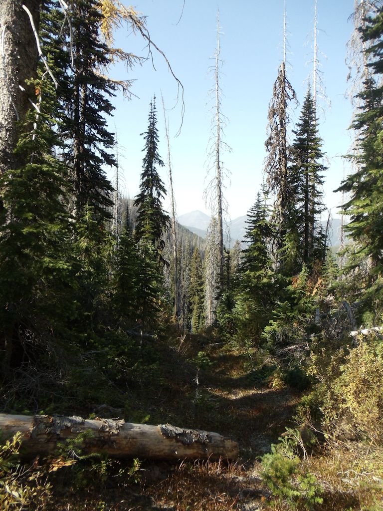
The upper end of the trail passes through heavy timber.
Antley Creek Trail Looking North
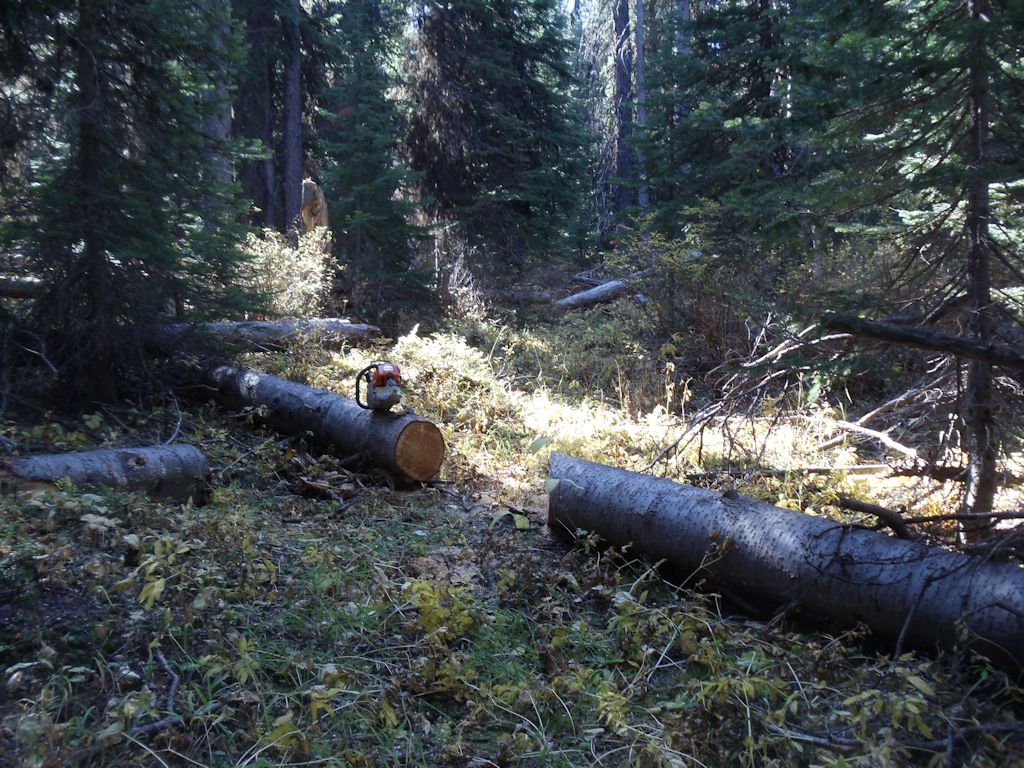
Removing Blow-downs on Antley Creek Trail
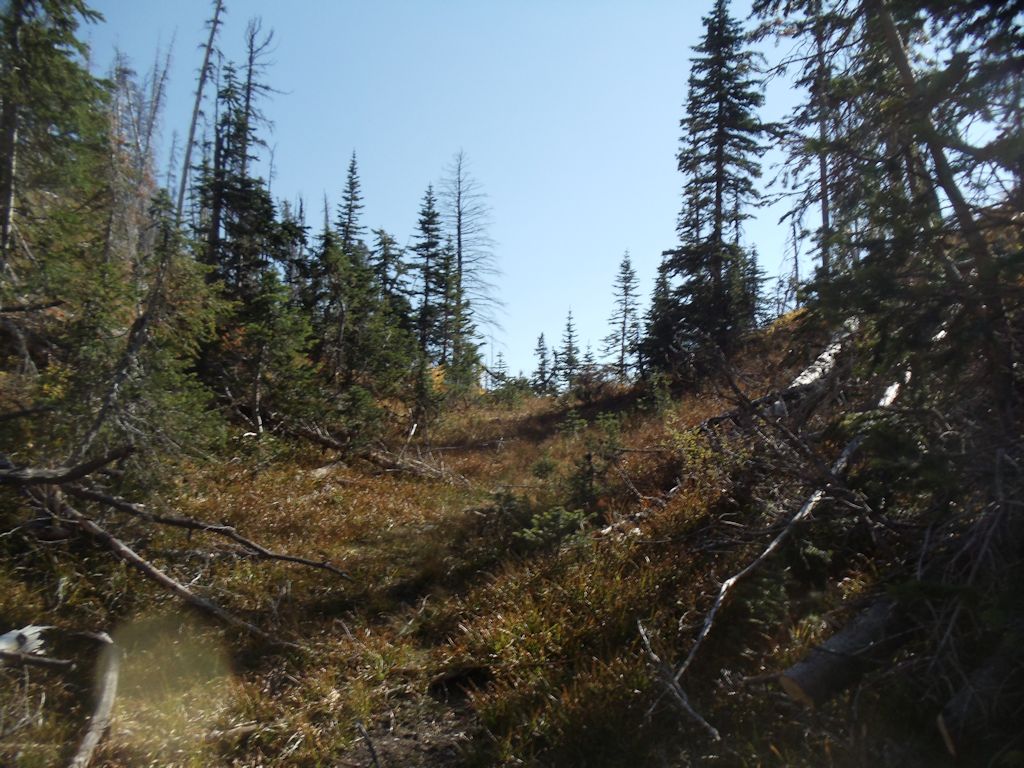
At Top of Antley Pass
The lower (north end) 4.3 miles of Antley Creek Trail is abandoned roadbed, becoming overgrown in places. It is still passable, but we will likely end up working on it next year.
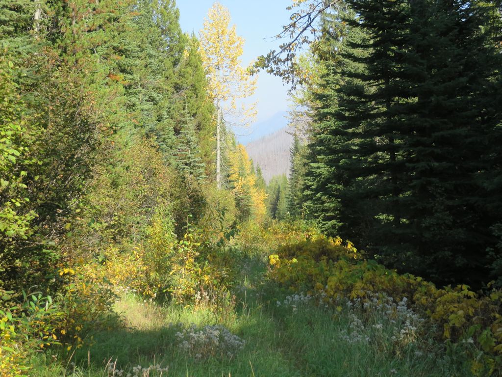
Northbound on Antley Creek Trail Near End of Day
Hay Creek area trails exploration
Debo Powers’ article covers our recent activity in the west end of the Hay Creek drainage, but I thought it useful to include some additional material here.
Here’s a map of the two expeditions Debo mentions. The red track is the Trail 3-Trail 26 survey conducted on September 13. In yellow is the route of the successful September 18 search for the Trail 26-Trail 14 junction.

Hay Creek Explorations
Randy and I added about a mile to our part of the Trail 3 hike by spending some time investigating Hay Lake.
Hay Lake
Here’s Randy at the Trail 3-Trail 26 junction.
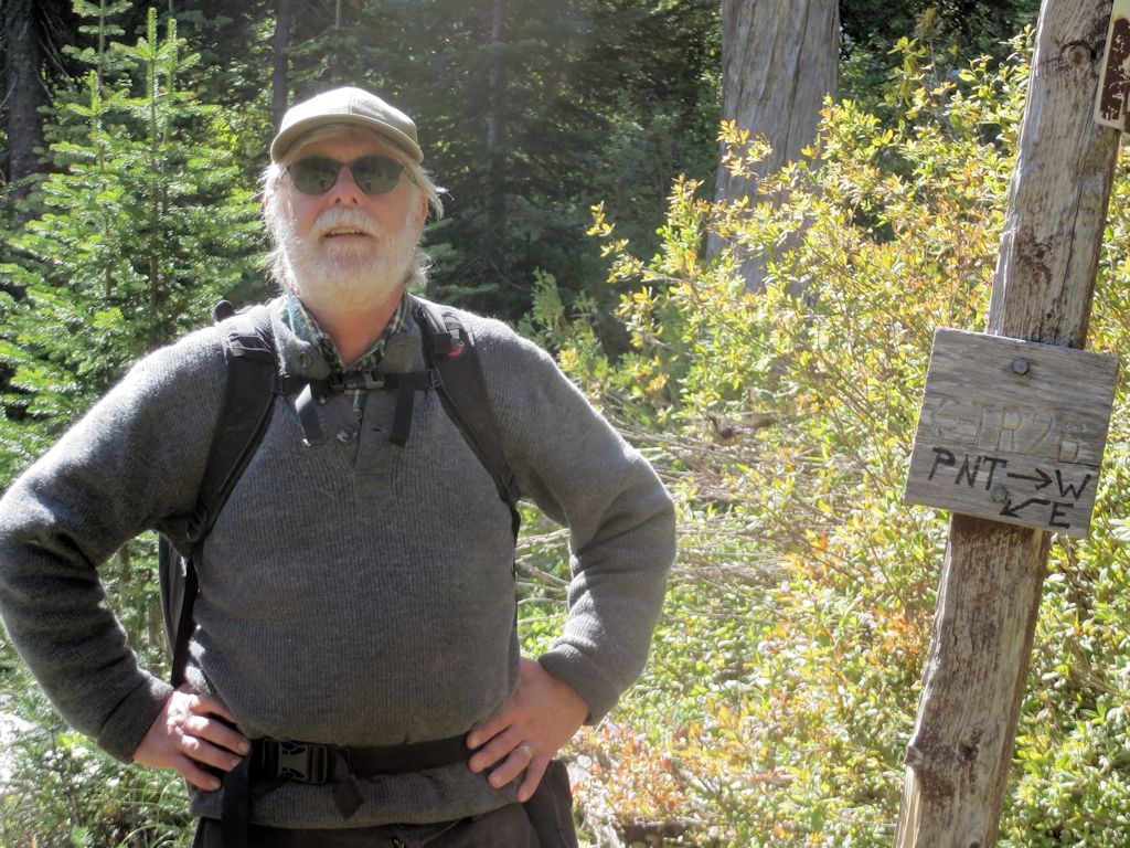
Randy at T26
And here’s a photo of the Hay Creek drainage from the west end that I took on an earlier expedition up Trail 26.
Hay Creek Drainage from West End
Moran Basin trails wrap-up: Trails 2, 4 and 14
August saw a lot of activity on the trails surrounding the Moran Creek Basin. See below for the GPS tracks. (The Trail 4 trace is roughly .25 miles short because I didn’t start recording immediately on the return trip.)
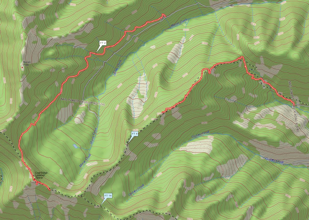
Moran Basin Trails
On August 11, we (Bill Walker, Jerry Costello and Bob Nelson) worked through the last of the downed wood and underbrush on Trail 4, encountering almost unrestricted ridge-top travel for the next half-mile or so. At that point — about 1.25 miles from the Trail 14 junction — we decided to carry our equipment out rather than continue.
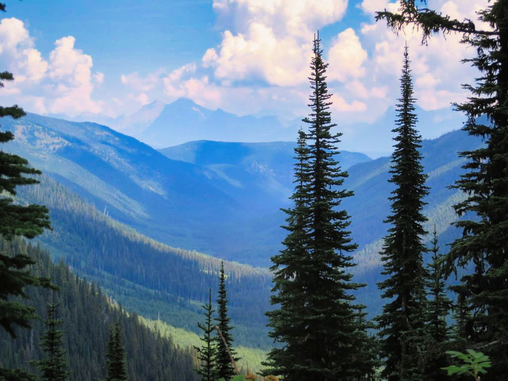
We found a nice view of Cyclone Peak and Lake on the way back . . .
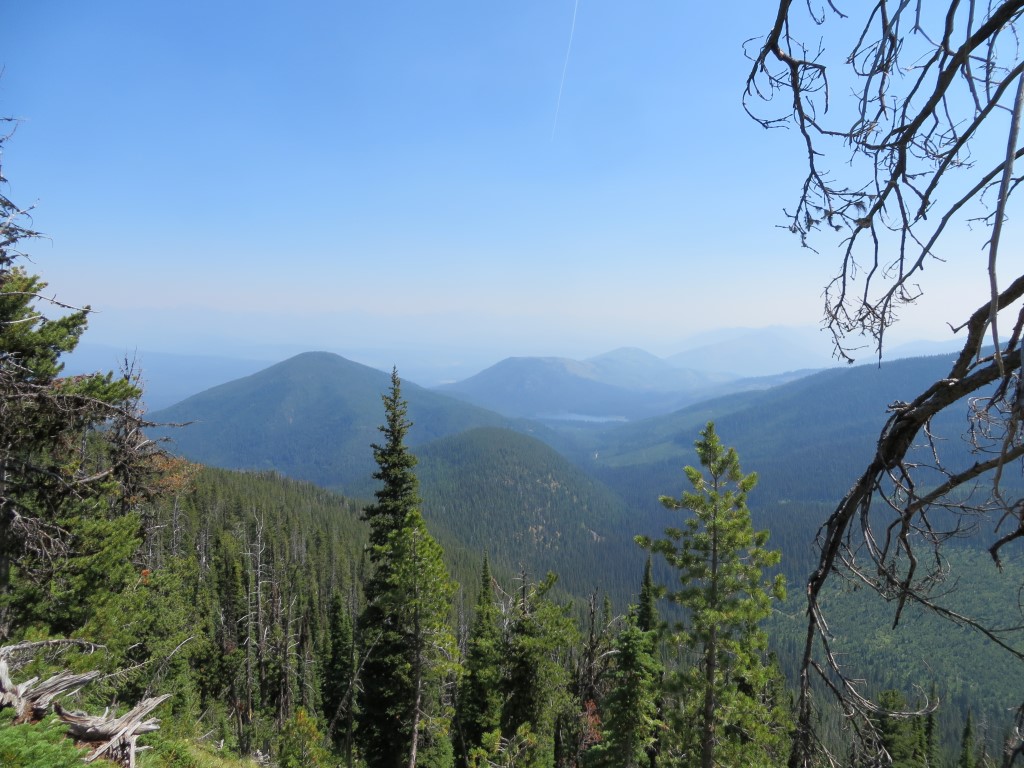
Cyclone Peak and Lake
A couple of weeks later, Jerry and I went round the north and west sides of the basin on trails 2 and 14. The tread started to fade a little ways past the old Coal Ridge lookout tower. We took a photo at our turnaround point and called it a day . . .
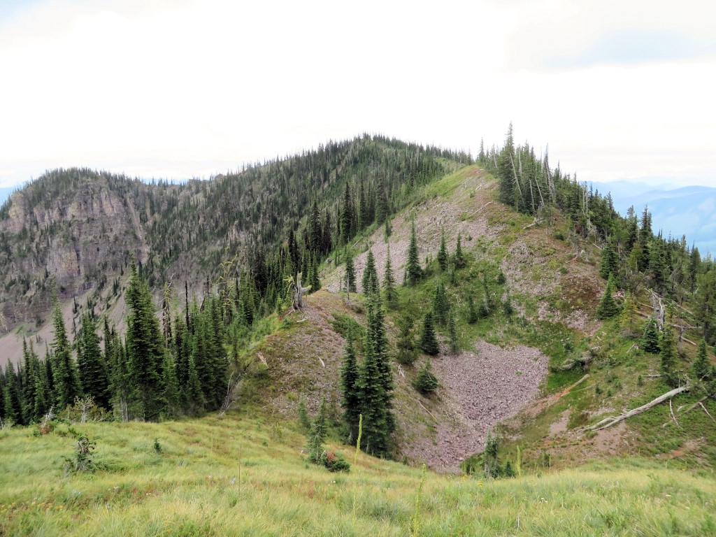
Trail 14 Limit of Travel
The next step is to walk and identify those last little bits of trails 4 and 14, possibly with two groups, one going in from each end.