We did it. After a lot of effort spanning two full hiking seasons, Trail 4 has been located and walked from end to end. In the process, we learned a little history. Those of you who have been involved in this chronic project at one time or another will realize just how significant this is.
Here’s how it happened: A few days ago, we put together a very short notice hike in the Moran Basin area with the vague notion of maybe exploring some long-neglected tread. There were three of us (myself — Bill Walker, Debo Powers and Greg Evans). Since the other two had never been on Trail 2, we chose to go in on that route. See the Moran Basin Trails article for the layout.
After having lunch and enjoying the views from the remains of the old Coal Ridge lookout, we decided to keep pushing southest along Coal Ridge to see if we could locate the junction with Trail 4.
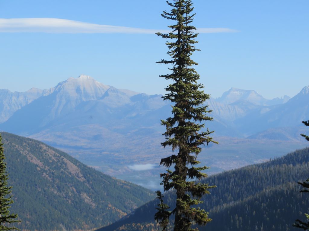
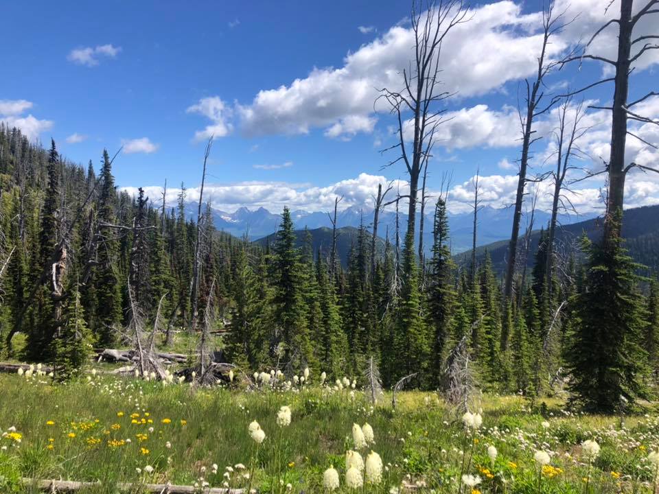
View Northeast from Coal Ridge
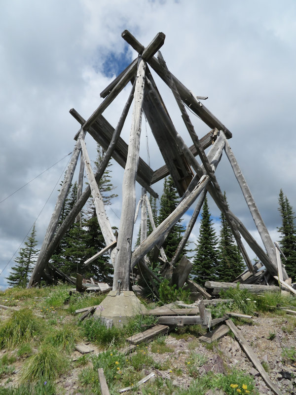
This is where things got interesting. We found the Trail 4 turnoff… and something else, as well. Right at the point where Trail 4 dropped down off the ridge, was the remains of another old lookout, predating the more familiar ruins further west. [Update: I am informed that this was more of an observation platform than a lookout. Still, it was a pretty neat find.]
Lookout Remains at T4 Junction
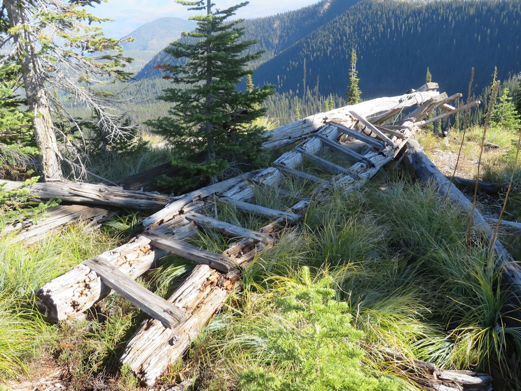
Old Ladder at Lookout Remains at T4 Junction
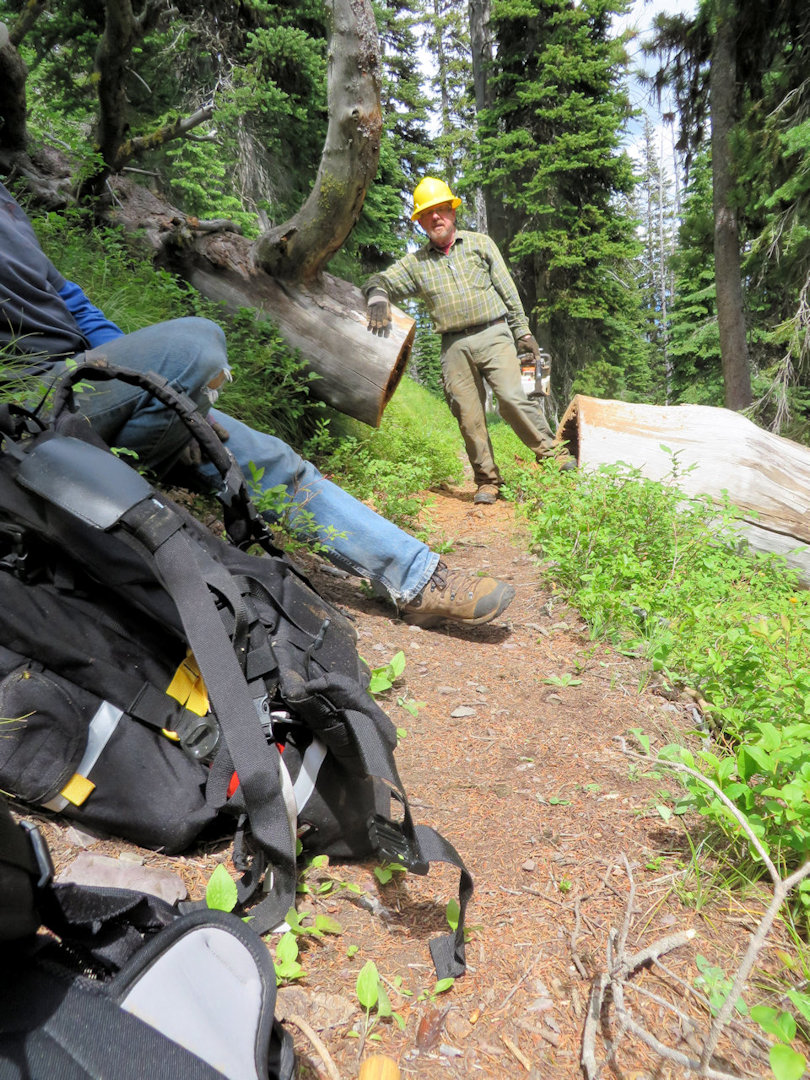
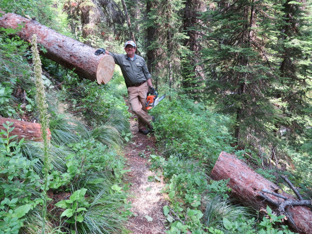
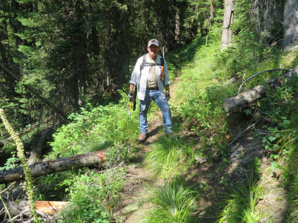
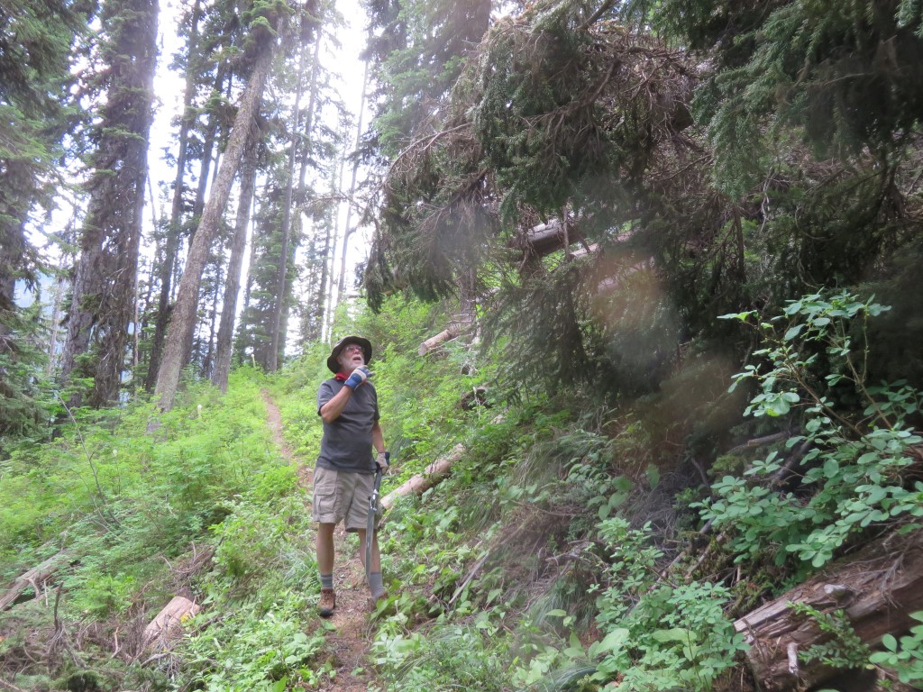
From there, knowing we were only about 1.25 miles (2 km) from known territory, we decided to try hiking out on Trail 4.

Ready to Go Northeast on Trail 4
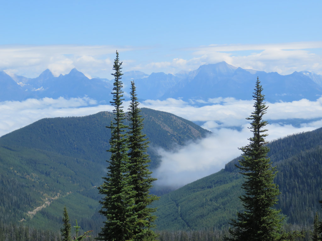
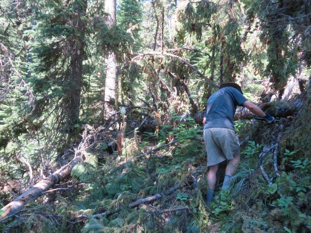
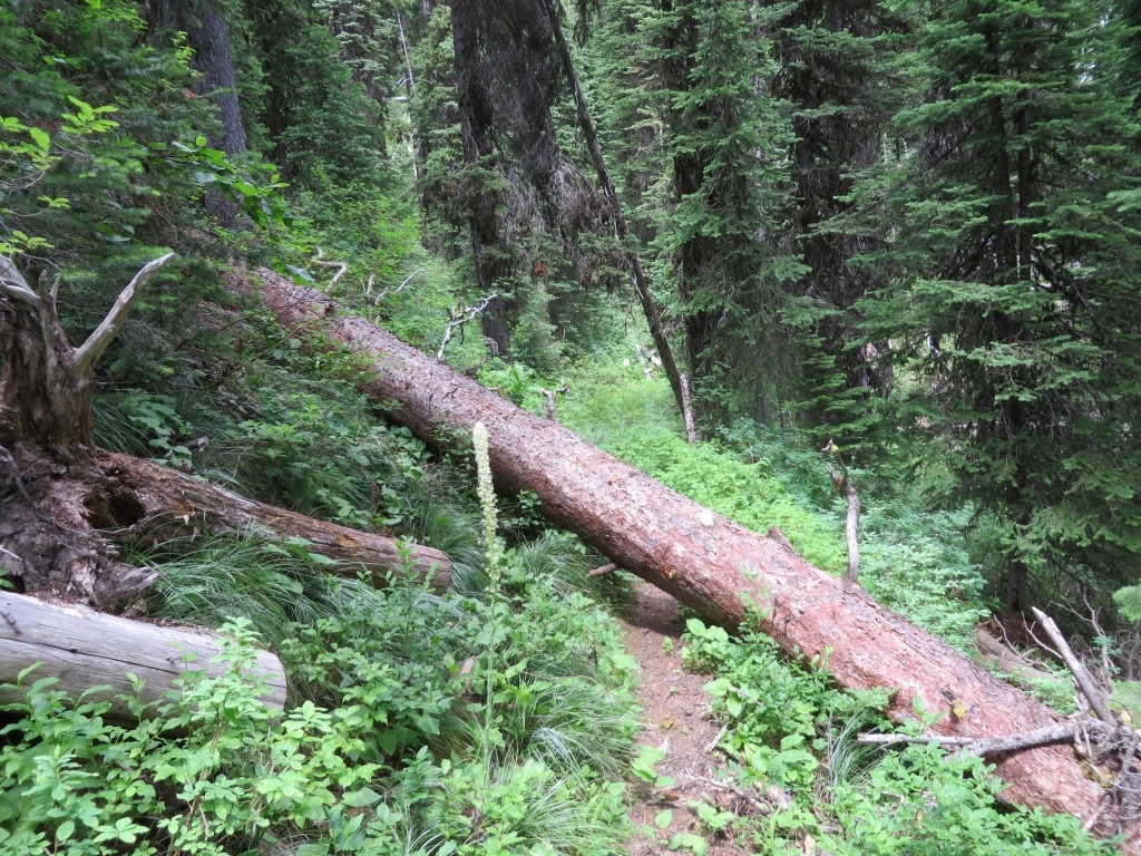
As we hoped, the tread was still visible. Other than a few blow-downs, we had little trouble following the old trail.
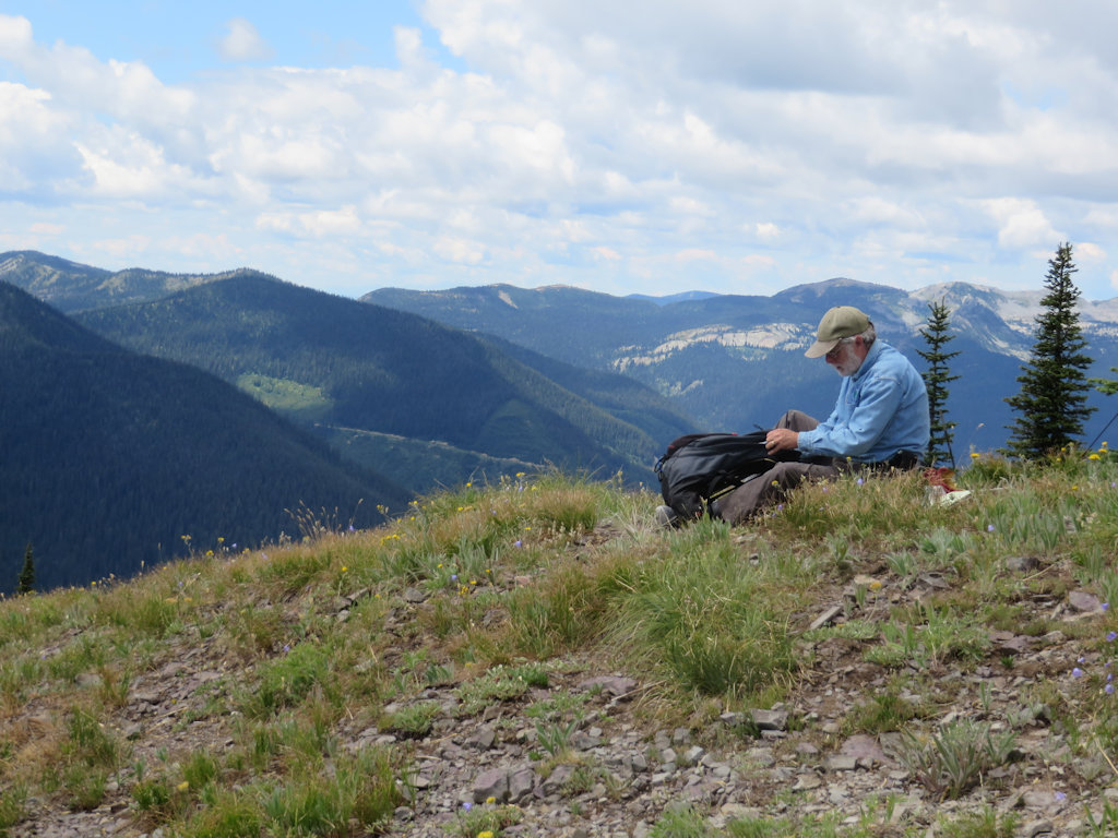
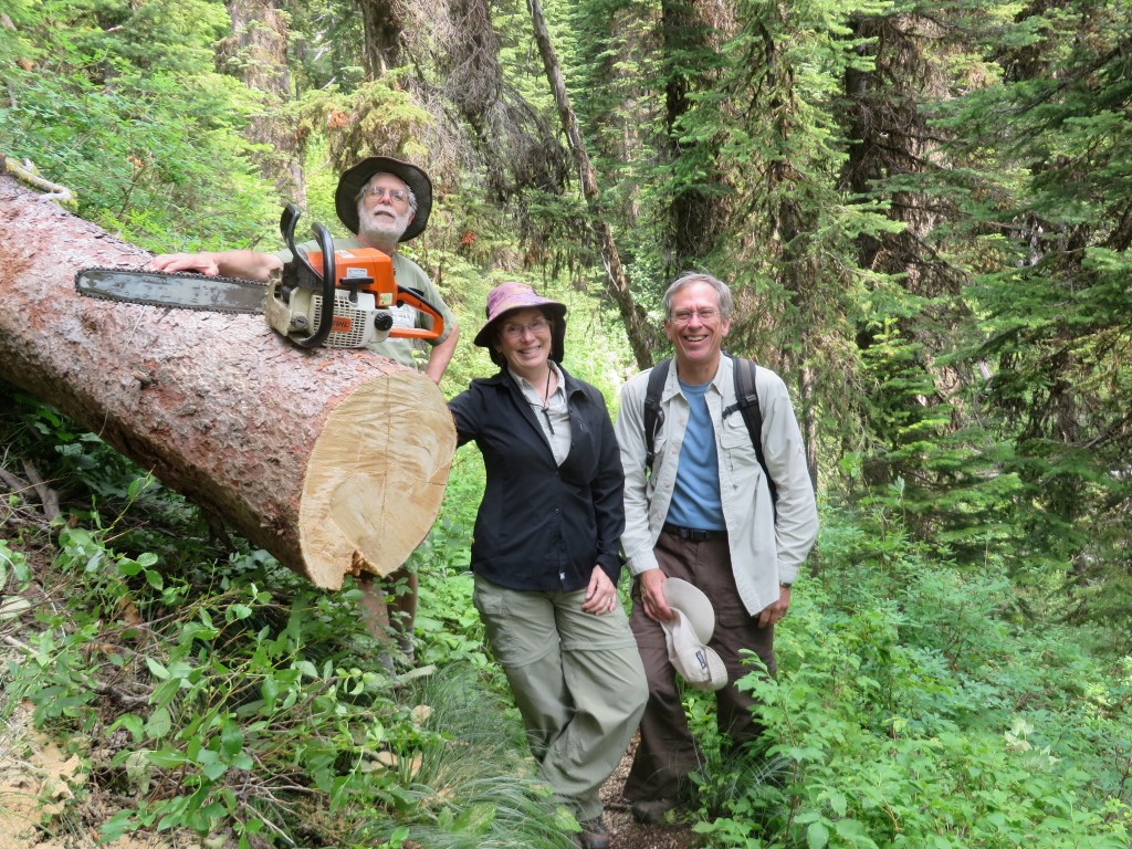
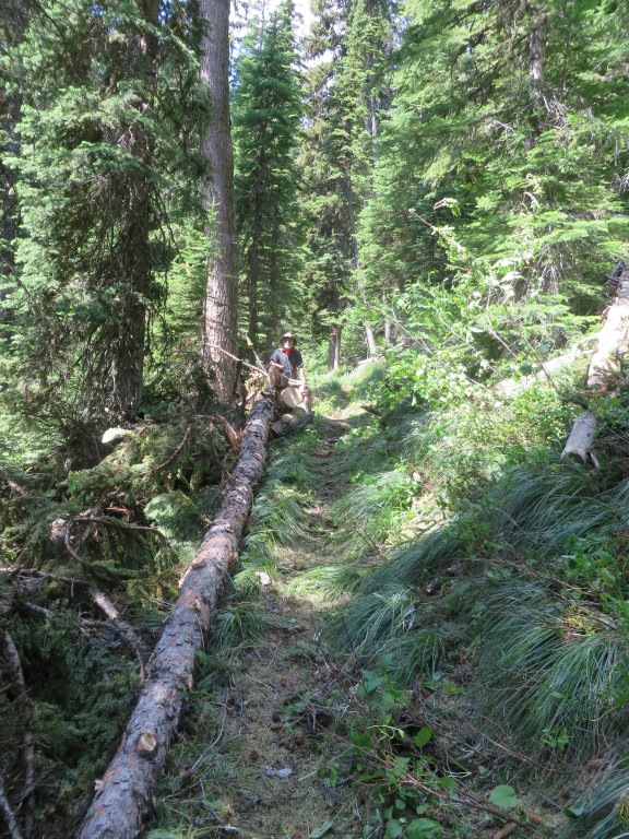
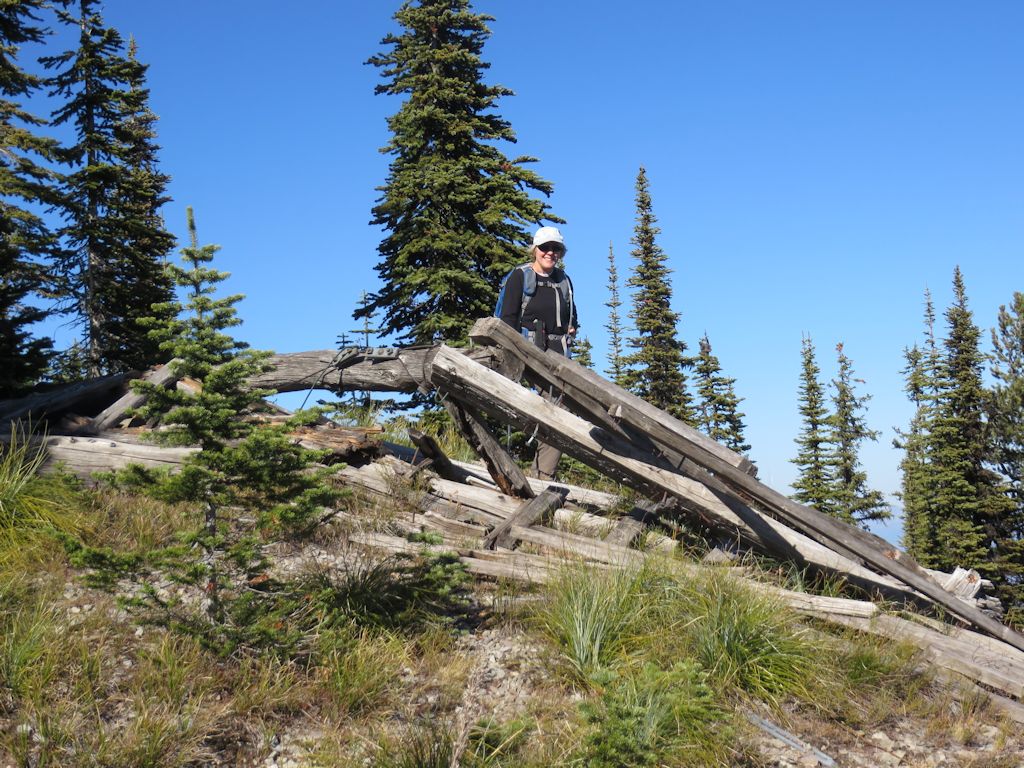
The final highlight of the day was reaching the furthest limit of the previously explored section of Trail 4. As you can see, everyone was quite pleased with themselves.
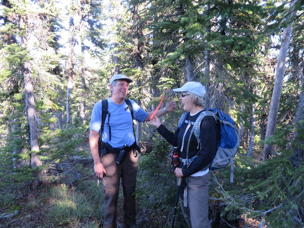
Back in Known Territory – 01
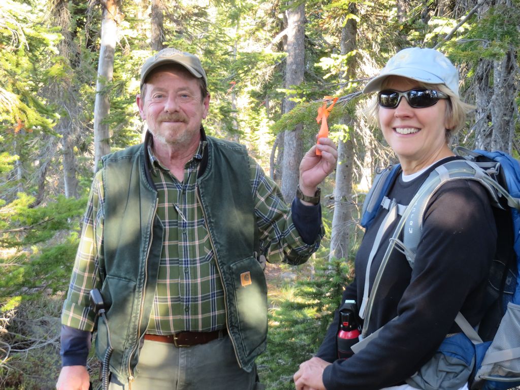
Back in Known Territory – 02
We wrapped up the expedition without incident, walking out to where John Frederick was waiting to provide shuttle service (we radioed ahead once we made the Trail 4 decision).
A good day.