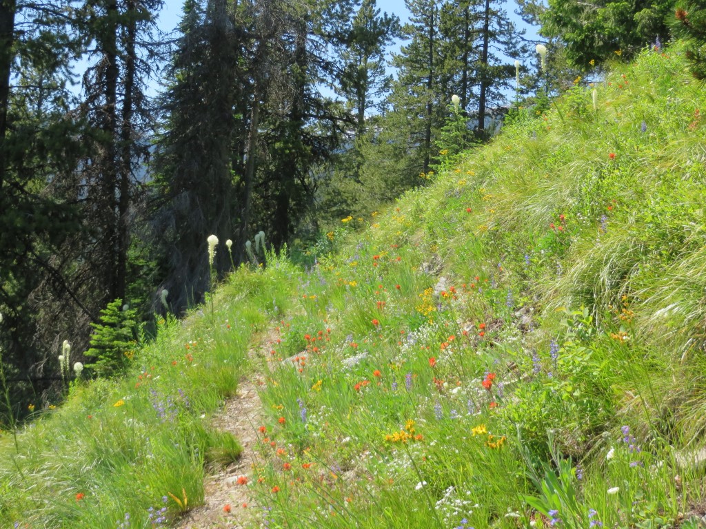
Moran Basin Trail (Trail 2) in Flathead NF, July 2014 – W. K. Walker
This press release by the U.S. Forest Service, Northern Region came out on March 14, but no one noticed it right away. Needless to say, we’ll be following up on this.
Short version: The public has until April 5, 2017 to submit ideas and comments “to help identify trails that will be part of a U.S. Forest Service effort with partners and volunteers to increase the pace of trail maintenance.” It looks like Kent Wellner at kwellner@fs.fed.us or (406) 329-3150 is the primary Northern Region point of contact for this.
Here’s the full text of the release . . .
Release Date: Mar 14, 2017 Missoula, MT
Contact(s): Scott Fenimore, 406-329-3047, Kent Wellner, 406-329-3150
Partners, volunteers integral to addressing maintenance backlog
MISSOULA, MONT. – The Northern Region is inviting the public to help identify trails that will be part of a U.S. Forest Service effort with partners and volunteers to increase the pace of trail maintenance.
Nationwide, the Forest Service will select nine to 15 priority areas among its nine regions where a backlog in trail maintenance has contributed to reduced access, potential harm to natural resources or trail users and/or has the potential for increased future deferred maintenance costs.
The Northern Region manages more than 28,000 miles of trails enjoyed by residents and visitors alike and includes opportunities for year-round motorized and non-motorized trail use of all types. In the Northern Region, volunteers and partner groups contributed approximately 112,000 hours of service maintaining trails in 2016.
”We’ve already received some ideas from our partners,” said Northern Regional Forester Leanne Marten, “and we’d like to hear more. Our volunteers and partners help make this Region great and are critical components to the trail maintenance program. We look forward to hearing from additional organizations and individuals in the coming weeks.”
Continue reading →
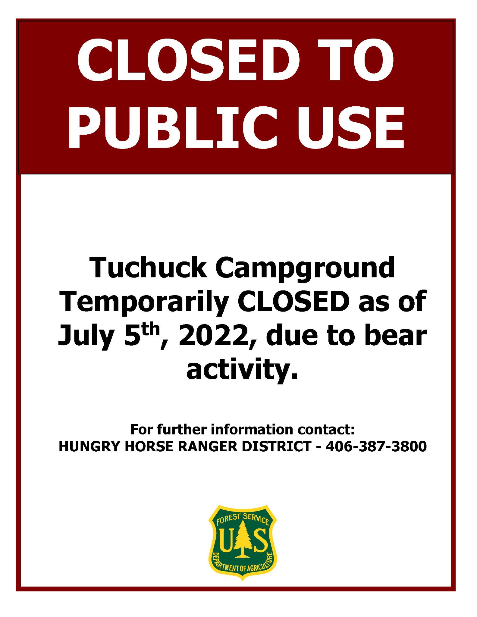 This was posted yesterday afternoon, July 5th, by the Forest Service…