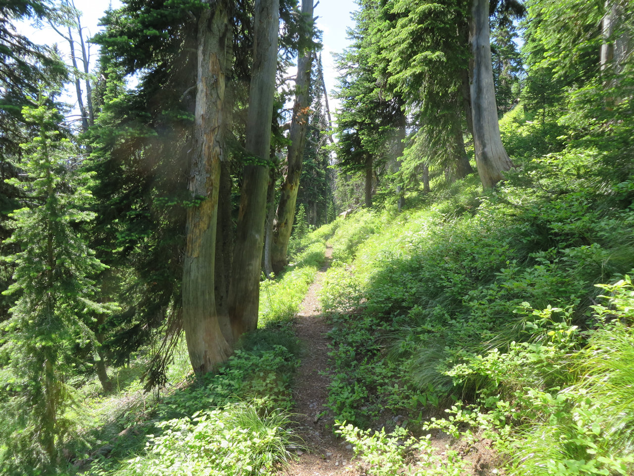
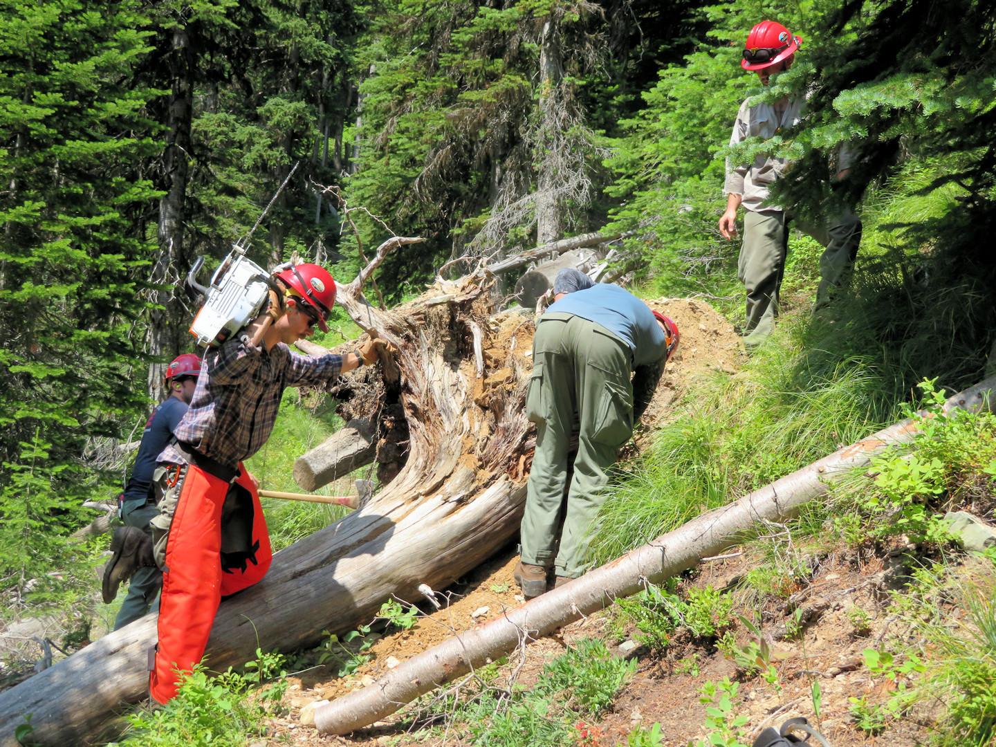
Tag Archives: U.S. Forest Service

Forest Service seeking public comment on Frozen Moose Project

The Forest Service has big plans for the upper North Fork. Some of the “Frozen Moose” activities may have minor trail impacts . . .

Frozen Moose Proposed Action map 1 - north half

Frozen Moose Proposed Action map 1 – north half

The Glacier View District of the Flathead National Forest is asking for public comment on the Frozen Moose Project. The project area is on National Forest System lands from Red Meadow Creek to the Canadian Border. The project proposes several types of management activities to reduce fuels in the wildland-urban interface, improve the resiliency of vegetative communities, improve aquatic ecosystems, and provide a mix of forest products. These proposed activities include 3,552 acres of commercial vegetation treatment, 4,630 acres of noncommercial vegetation treatments, road management activities, and other aquatic restoration activities.

Frozen Moose Proposed Action map 1 - south half

Frozen Moose Proposed Action map 1 – south half

Maps of the proposed action, detailed descriptions of activities, and information on how to comment can be accessed at the project Web site: www.fs.usda.gov/project/?project=57310. Hard copies of the proposed action documents are available by request or can be reviewed at the Hungry Horse-Glacier View Ranger Station (10 Hungry Horse Drive, Hungry Horse, MT, 59919). Please contact Sarah Canepa, project team leader, if you would like more information about the project at (406) 387-3800 or sarah.canepa@usda.gov.

Glacier Gateway Project seeks backing

Map showing proposed Glacier Gateway land acquisition

Map showing proposed Glacier Gateway Project land acquisition

In case you haven’t heard about it already, the Vital Ground Foundation and the US Forest Service are working on something called the “Glacier Gateway Project.”

They are proposing to acquire two properties totaling about 23 acres using Land and Water Conservation Funds (LWCF). The parcels are along the section of the Polebridge Loop Road between the Polebridge Mercantile and the entrance to Glacier National Park. The acquisition would connect adjacent public lands managed by the Flathead National Forest along the designated Wild and Scenic corridor of the North Fork Flathead River.

The owners of both properties are willing sellers who wish to protect their lands from further development. (There are rumors that one potential buyer wanted to build an RV park.)

What’s the trails connection? The Pacific Northwest Trail runs along the Polebridge Loop Road after the trail emerges from Glacier Park. Sharing the road with motorized traffic, especially during tourist season, is less than ideal. Acquiring the Glacier Gateway parcels makes it easier for the Forest Service to achieve its eventual goal of a separate trail parallel to the road.

Here’s the deal: Vital Ground and the Forest Service are hoping to get individuals and organizations to send in letters of support for this proposal *by the end of the month.*

Want to read more? Here are the project documents:

Glacier Gateway Project Fact Sheet
Glacier Gateway Project Pictures
Glacier Gateway Project Sample Support Letter (Word format; also see note below)

NOTE: Even though the sample letter is addressed to Leanne Marten, the USFS Regional Forester, please send letters of support (by email preferably) to Mitch Doherty at the Vital Ground Foundation so that he can scan them and include them with the application submission. Here is Mitch’s contact information:

Mitch Doherty
Conservation Program Manager
Vital Ground Foundation
20 Fort Missoula Rd 59804-7202
Missoula, MT
(406) 549-8650
MDoherty@VitalGround.org


Alert: USFS Northern Region invites public to help identify priority trail maintenance work

Moran Basin Trail (Trail 2) in Flathead NF, July 2014 - W. K. Walker

Moran Basin Trail (Trail 2) in Flathead NF, July 2014 – W. K. Walker

This press release by the U.S. Forest Service, Northern Region came out on March 14, but no one noticed it right away. Needless to say, we’ll be following up on this.

Short version: The public has until April 5, 2017 to submit ideas and comments “to help identify trails that will be part of a U.S. Forest Service effort with partners and volunteers to increase the pace of trail maintenance.” It looks like Kent Wellner at kwellner@fs.fed.us or (406) 329-3150 is the primary Northern Region point of contact for this.

Here’s the full text of the release . . .


Release Date: Mar 14, 2017 Missoula, MT
Contact(s): Scott Fenimore, 406-329-3047, Kent Wellner, 406-329-3150

Partners, volunteers integral to addressing maintenance backlog

MISSOULA, MONT. – The Northern Region is inviting the public to help identify trails that will be part of a U.S. Forest Service effort with partners and volunteers to increase the pace of trail maintenance.

Nationwide, the Forest Service will select nine to 15 priority areas among its nine regions where a backlog in trail maintenance has contributed to reduced access, potential harm to natural resources or trail users and/or has the potential for increased future deferred maintenance costs.

The Northern Region manages more than 28,000 miles of trails enjoyed by residents and visitors alike and includes opportunities for year-round motorized and non-motorized trail use of all types. In the Northern Region, volunteers and partner groups contributed approximately 112,000 hours of service maintaining trails in 2016.

”We’ve already received some ideas from our partners,” said Northern Regional Forester Leanne Marten, “and we’d like to hear more. Our volunteers and partners help make this Region great and are critical components to the trail maintenance program. We look forward to hearing from additional organizations and individuals in the coming weeks.”

Continue reading