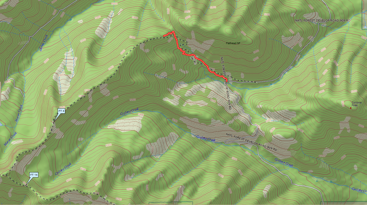
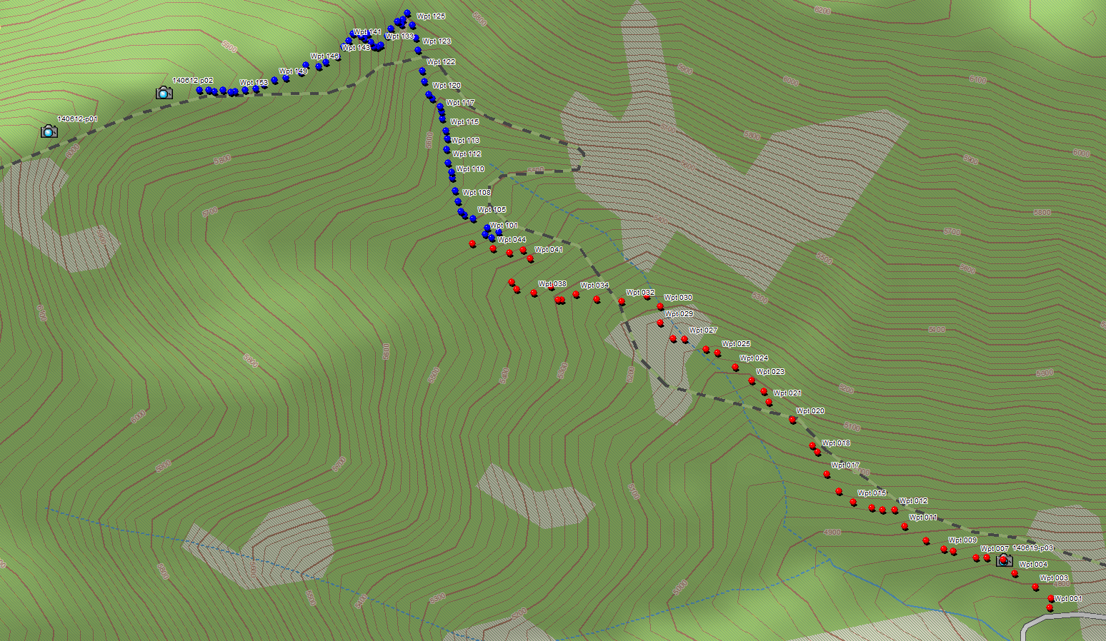
We finally found the piece of Trail 4 that provides access to the ridge top.
Last Thursday, June 19, Dave Hadden, John Frederick and I headed back up with the objective of tracing the section along the ridge top back down to where it connected with the previously scouted part of the trail that ascends from its eastern terminus at Road 909.
Kudos go to Dave Hadden on this one. He arrived early, located the trail corridor Will Hammerquist stumbled across a couple of weeks ago, and traced the route all the way to the top of the ridge. He then did the route a second time for my benefit when I got there.
You can see the trace (black line) based on my camera’s GPS log below. It’s jittery, but the basic routing is clear: The trail segment climbs up a minor draw, makes an abrupt turn to the west and switchbacks up the end of the ridge until it reaches the top.
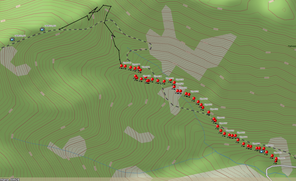
Trail 4 – June 19 Track
Bonus: I finally got a half-decent photo of the Calypso Orchids near the trail-head before they disappeared.
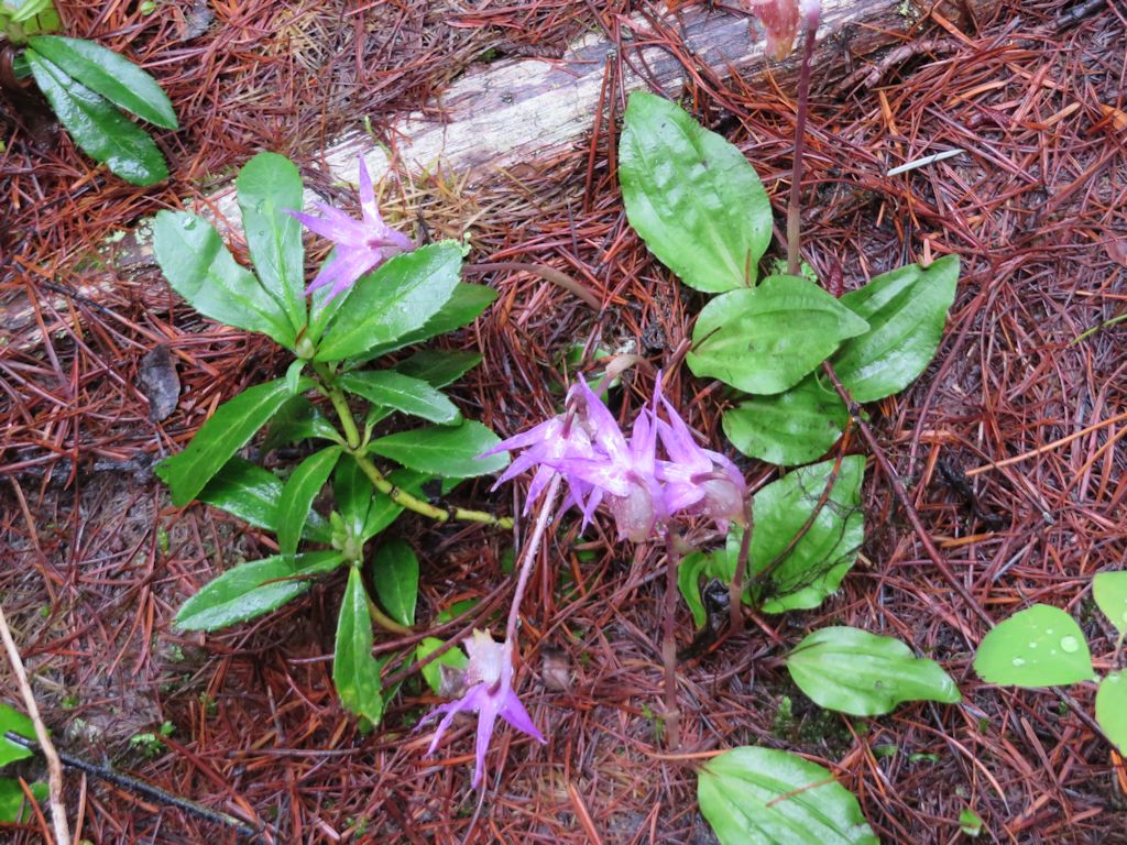
Calypso Orchids