Category Archives: FIre Information

Spotted Bear District trail conditions report for Sep 11 posted

The Spotted Bear River near the ranger station - Michael Hodge

The Spotted Bear River near the ranger station – Michael Hodge

The Sep 11, 2022 Forest Service Trail Conditions Report for the Spotted Bear Ranger District has been posted to the website Trail Conditions page.

Trail reports contain a fair amount of useful information. Besides trail conditions, they include trail numbers, their official names and end-to-end mileages. The reports may also list information on trail and area closures, especially during fire season.

Current closures include:
– Dean Creek Fire – Trail 87
– Canon Creek Fire – Trails 115, 218, 226, 493 and 693
– George Lake Fire — Trail 135
– Ursus Fire — Trails 139, 272 and 273
For updates on the Fires and closures please go to InciWeb.

The current fire danger for the Spotted Bear District is HIGH.

Some Glacier View RD trails closed due to Weasel Fire

Weasel Fire - Extreme Fire Behavior, August 4, 2022 - USFS

Weasel Fire – Extreme Fire Behavior, August 4, 2022 – USFS

NOTICE: Due to the Weasel Fire, the following Glacier View Ranger District trails are closed:

  • Thoma-Tuchuck #19
  • Tuchuck Ridge #114 Tuchuck Creek #23
  • Review Mountain #113

See also the attached closure order map.

Monitor the Weasel Fire InciWeb site for additional information: https://inciweb.nwcg.gov/incident/8290/. Also keep an eye on the NFLA website for fire-related postings.

Weasel Fire Area Closure Map

Weasel Fire Area Closure Map

Evacuation warnings lifted for the Hay Creek Fire!

It’s official! The sheriff’s office lifted all posted evacuation warnings for the Hay Creek Fire, effective August 18, 2021. Now if the Forest Service would just re-open the back-country . . .

Evacuation warnings lifted for the Hay Creek Fire

Evacuation warnings lifted for the Hay Creek Fire

PDF version: https://nftrails.org/wp-content/uploads/2021/08/Evacuation-warnings-lifted-for-the-Hay-Creek-Fire-August-18-2021.pdf

Trail Creek Road reopens; trail closures remain

Trail Creek/Graves Creek Road (#114) is open again, but the trail closures in the upper Trail Creek and Whale Creek drainages are still in place.

Canyon Creek Road (#316) has also been reopened.

Here’s the full official press release . . .

Forest System Road #114 Trail Creek /Graves Creek is now open. It was closed for public safety due to fire activity from the Gibraltar Ridge and Weasel Fires. The road closure began at Tuchuck Campground and extended through the Kootenai National Forest to Graves Creek (Milepost 8.8 – 14.8). The area closures in upper Trail Creek (including Tuchuck Mountain), and Upper Whale Creek will remain in place until further assessments can be made. The Area Closure remains in place due to active fire still present in these areas and fire directly impacting system trails.

Use caution when driving through open roads in the area; crews and equipment may be working, you may encounter activity on the road system.

Additionally, permanent repairs have been accomplished on Canyon Creek Road #316, located approximately 5 miles north of Columbia Falls on the Glacier View Ranger District. Effective immediately, the road is now open from the intersection of Road #316 and 316D (9 mile); west 7 miles to the intersection with Forest Road #316C (South Fork of Canyon Creek). The Kimmerly Road (FS Rd 316B) remains closed to motorized use from its junction of the 316 Road and beyond, due ongoing repair work. The Kimmerly Road is expected to be open for snowmobiles and grooming operations this coming winter.

While recreating on the Flathead National Forest, users are advised to use caution when traveling on Forest roads; encountering heavy truck or other vehicle traffic is common. Please do not to block gates on Forest roads, and report any road damage, or road issues of concern to your local forest service office.

For updated information on temporary road restrictions, campgrounds, and access on the Flathead National Forest, please contact the respective ranger district in your area:

Hungry Horse/Glacier View at (406) 387-3800, Tally Lake at (406) 758-5204, Swan Lake at (406) 837-7500, or Spotted Bear at (406) 758-5376 or (406) 387-3800.

Gibraltar Ridge and Weasel Fire – Road, Trail & Area Closures

Gibraltar-Weasel Closure Map, Sep 10, 2017

Gibraltar-Weasel Closure Map, Sep 10, 2017

This just in from the Flathead National Forest . . .

Media Contact: Janette Turk
(406) 758-5252
jturk@fs.fed.us

Kalispell, MT. September 10, 2017- The Gibralter Ridge Fire and the Weasel fire are burning in the Kootenai National Forest approximately 7 miles east of Eureka.  The east side of the Gibraltar fire has moved into the mouth of the Blue Sky drainage in the Whitefish Range.  The Weasel fire has moved near the Flathead and Kootenai forest boundary.  To protect health and public safety by keeping the public out of the active fire area, the Kootenai National Forest has closed a large area from the Whitefish divide to the west boundary of the Fortine District, and from the Canadian Border to Deep Creek. The Flathead National Forest has closed an area north of Link lake trailhead north to the Canada border and east of the Kootenai border.

The following NFS Road is partially closed:

  • A portion of NFS Road #114 (Trail Creek Road) from the Flathead National Forest boundary to the junction with Stoken Bridge/Foothills Road. To support these efforts the Flathead National Forest has installed a gate on NFS Road #114 (Trail Creek) and has closed NFS Road #114 from mile point 8.8 to 14.8, the boundary with the Kootenai National Forest.

The following NFS trails are closed:

  • Trails 19, 23, 114, 113, 22, 13, 28, 79, 11, 13, 106 and 26 from the Link lake TH to the north.

The following NFS area is closed:

  • Area from the Link lake TH north along the Kootenai/Flathead NF boundary to the Canada border

Forest fire fighting resources are supporting the fires listed above and are prepared with initial attack resources as needed.  For more information contact the Hungry Horse/Glacier View District at 406-387-3800.

Wilderness fires prompt trail closures

Scalp Fire from Spotted Bear LO, Aug 27, 2017, 1830MDT - courtesy of Heather Welch

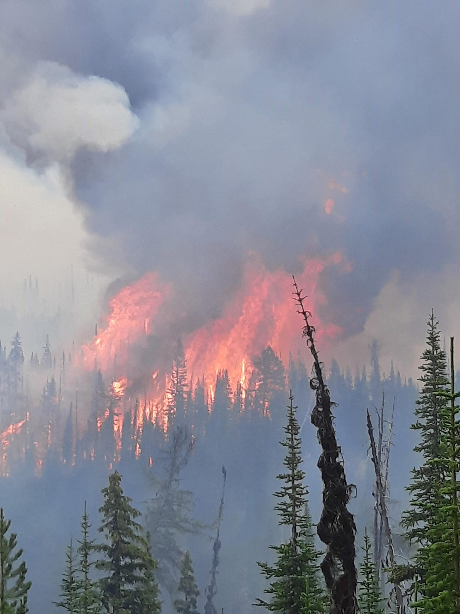
Scalp Fire from Spotted Bear LO, Aug 27, 2017, 1830MDT – courtesy of Heather Welch

From the official press release

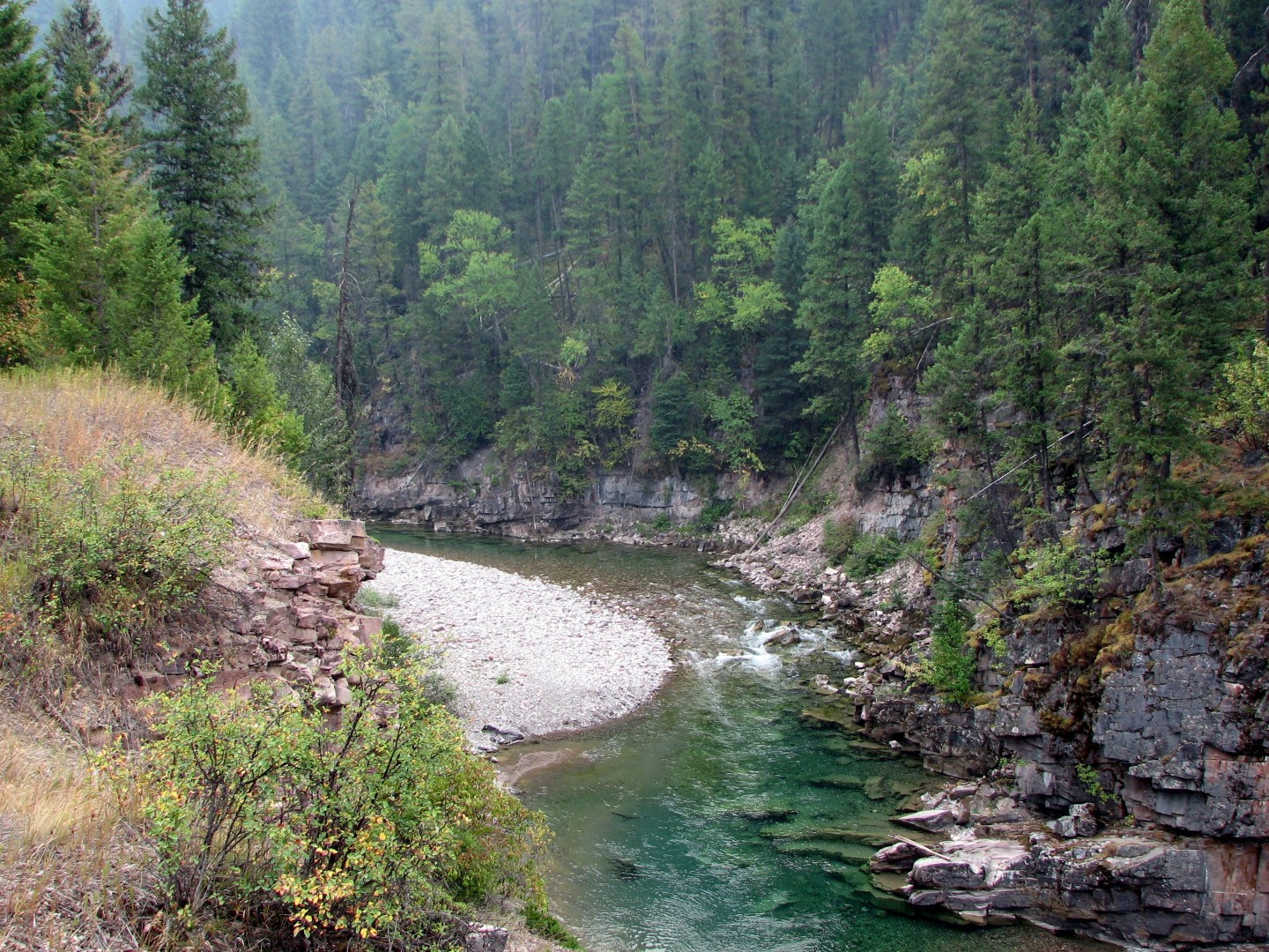
Kalispell, MT-September 2, 2017 – Seven fires are currently burning in the Spotted Bear Ranger District on the Flathead National Forest and with active fire growth on several of the fires, district officials have closed trails for public safety. The fires are burning in the Bob Marshall and Great Bear Wilderness Areas. Significant stretches of the Continental Divide Trail (CDT) are affected by the fires and trail closures.

Individual fires are listed below with a link to more specific fire and trail closure information:

Strawberry Fire – Upper Middle Fork, Great Bear Wilderness, https://inciweb.nwcg.gov/incident/5574/#

Scalp Fire – Upper Middle Fork, Great Bear Wilderness, https://inciweb.nwcg.gov/incident/5520/#

Dolly Varden Fire – Upper Middle Fork, Great Bear Wilderness, https://inciweb.nwcg.gov/incident/5519/#

Soakem Fire – Upper Middle Fork, Great Bear Wilderness, as of 9/1/17, 1.5 acres; located in the upper Minor Creek drainage. No closures currently associated with this fire.

Reef Fire – Youngs Creek drainage, Bob Marshall Wilderness, https://inciweb.nwcg.gov/incident/5525/#

Rice Ridge Fire – Youngs Creek drainage, Bob Marshall Wilderness, https://inciweb.nwcg.gov/incident/5414/#

Monahan Fire – Danaher Creek drainage, Bob Marshall Wilderness, https://inciweb.nwcg.gov/incident/5401/#

There are several trail closures on the Lewis and Clark National Forest, Rocky Mountain Ranger District also associated with the Scalp Fire, and the Crucifixion Fire in the Badger-Two Medicine area (https://inciweb.nwcg.gov/incident/5528/).

For a map of all the trail closures within the Bob Marshall Wilderness Complex, visit the Flathead National Forest webpage, https://go.usa.gov/xRHrA.

Visitors planning to travel along the CDT, contact the Spotted Bear Ranger District for information on alternative travel routes

“Safety for the public is my main concern when closing trails, however there are many areas still open for backcountry use and camping” says Spotted Bear detailed District Ranger Gordon Ash.

Contact the Spotted Bear Ranger District at (406) 758-5376 for current fire information and opportunities for backcountry use.