Monthly Archives: August 2017

Trail condition reports for August 15 posted

Fireweed below Nasukoin Lake, Aug 12, 2017 - W. K. Walker

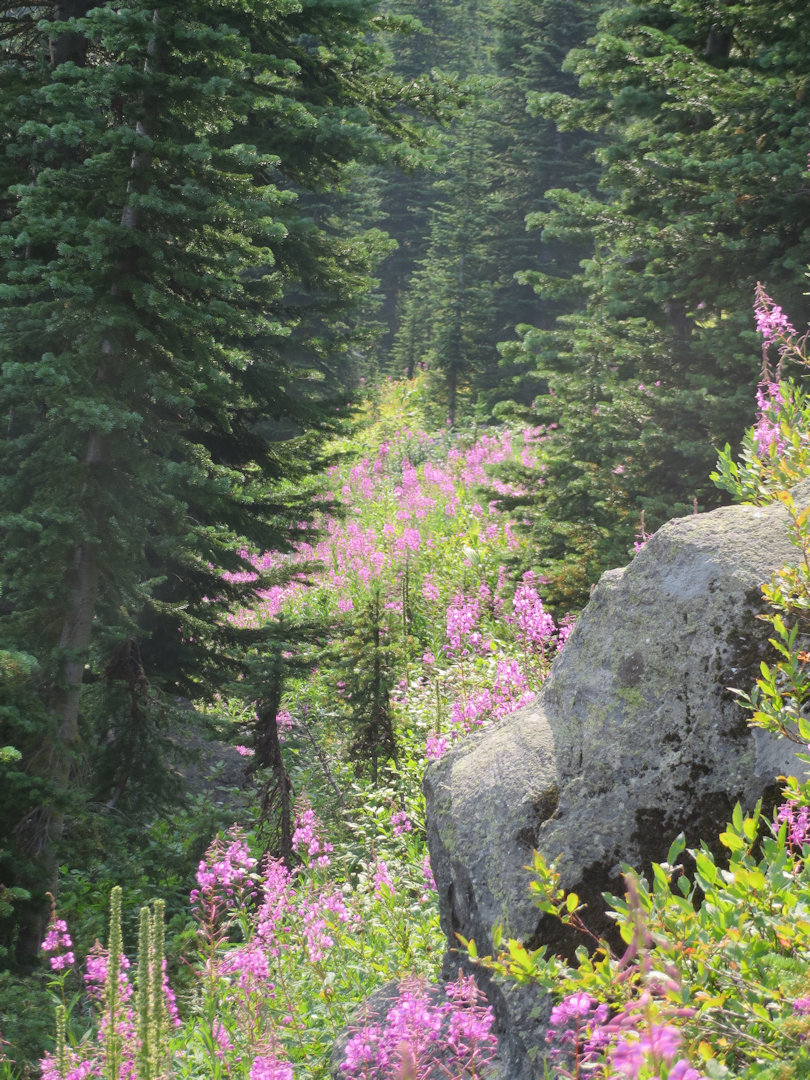
Fireweed below Nasukoin Lake, Aug 12, 2017 – W. K. Walker

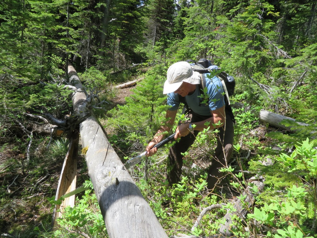
The latest Forest Service Trail Condition Reports for the Hungry Horse and Glacier View ranger districts have been posted to the website Trail Conditions page.

These reports contain a fair amount of useful information. Besides trail conditions, they include trail numbers, their official names and end-to-end mileages.

Note that the entire area is now under Stage II fire restrictions!

Gibraltar Ridge Fire closure order affects Trail Creek, PNT

Gibraltar Ridge Fire Closure Map, Aug 8, 2017

Gibraltar Ridge Fire Closure Map, Aug 8, 2017

A closure order was issued this afternoon in the Kootenai National Forest as a result of the Gibraltar Ridge Fire in the Eureka area.

This closure affects travel from the North Fork over Trail Creek into the Kootenai. The Forest Service is posting signs at the North Fork Road/Trail Creek Road junction, and at the Tuchuck Trailhead.

This also affects the Pacific Northwest Trail (PNT). Notifications are going up at strategic trailheads for the PNT in both the Kootenai and Flathead Forests.

For more information on the Gibraltar Ridge Fire, see the Inciweb page at https://inciweb.nwcg.gov/incident/5474/

Stage 1 fire restrictions in effect for Great Bear and Bob Marshall wildernesses

Stage 1 fire restrictions are now in effect for Great Bear and Bob Marshall wildernesses. In brief, this means:

  • No campfires, unless the campsite is posted with specific exemptions.
  • No smoking, unless within an enclosed vehicle, building, developed recreation site or an area 3 feet in diameter cleared of all flammable materials.

The Trail Condition Report for the Hungry Horse RD has been updated to reflect this situation.