Category Archives: Maps

Flathead Trails Association rolls out illustrated map

The Flathead Trails Association (FTA) has just introduced an illustrated map of the valley. On the back, are descriptions of the member organizations Including our own!) with QR codes linking to their web sites . . .

For an outdoor enthusiast in northwest Montana, opting for a trail-based adventure brings myriad options for choosing a map to help plan your outing…

…Now, however, there’s a comprehensive guide to the Flathead Valley’s recreational opportunities, a long-time-coming initiative by the Flathead Trails Association (FTA) that locals and visitors alike can use to plan, discover and learn about the outdoor scene in our own backyard.

Continue reading . . .

US Forest Service map prices set to increase January 1, 2018

Hay Creek Drainage - West End

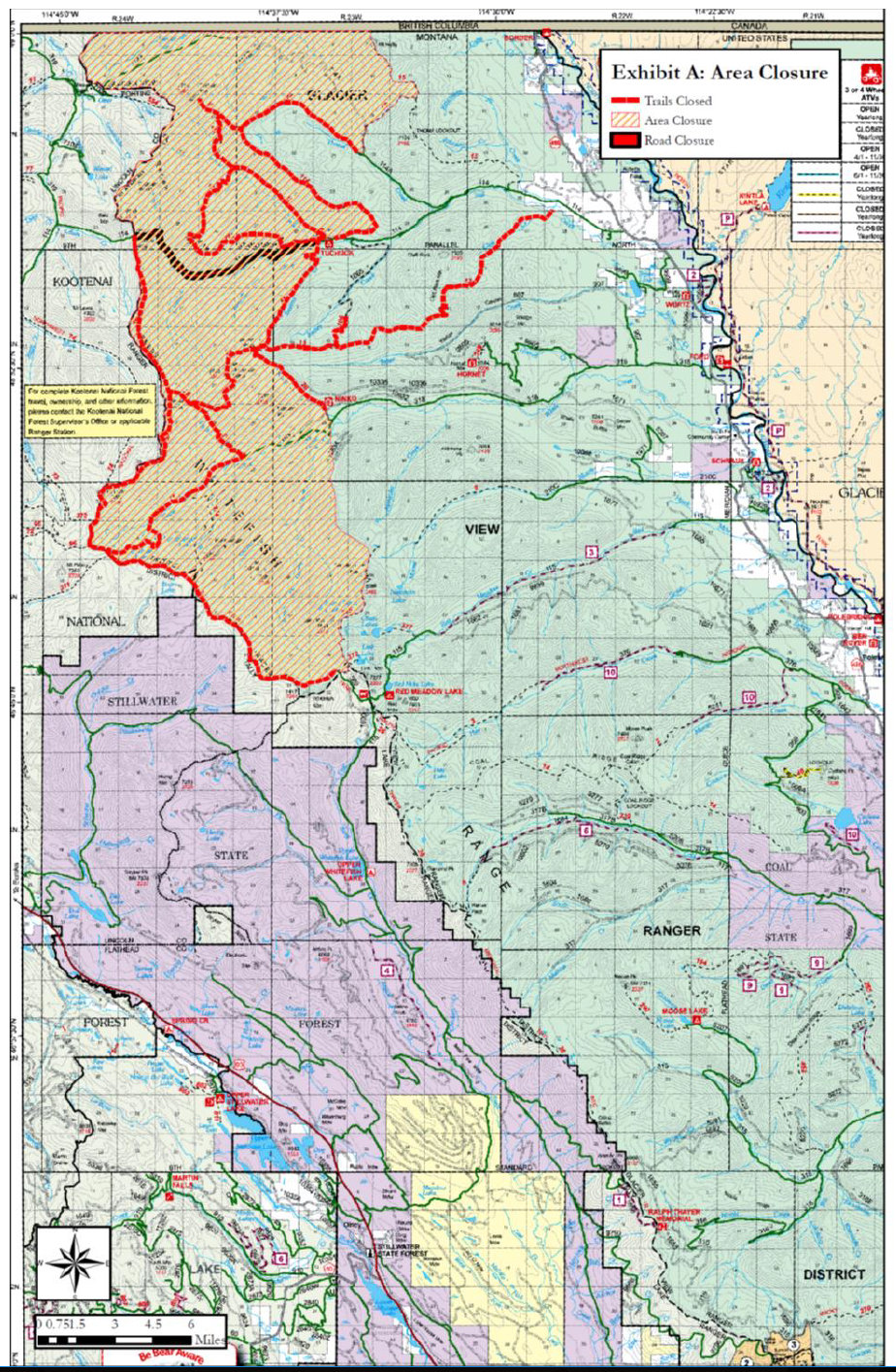
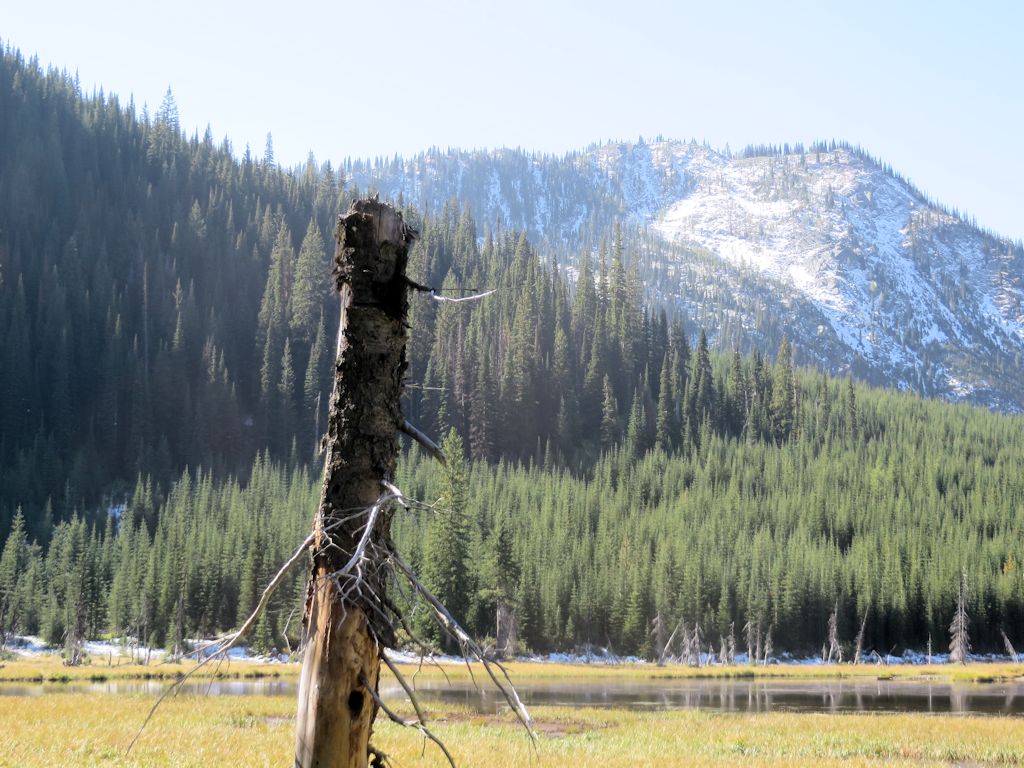
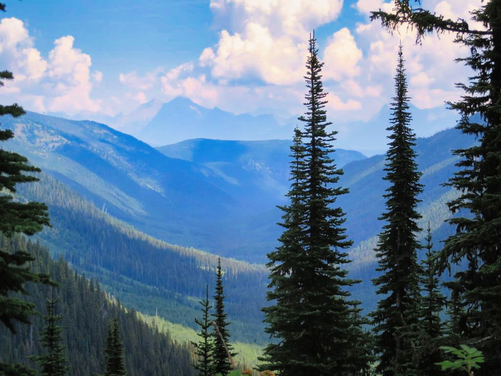
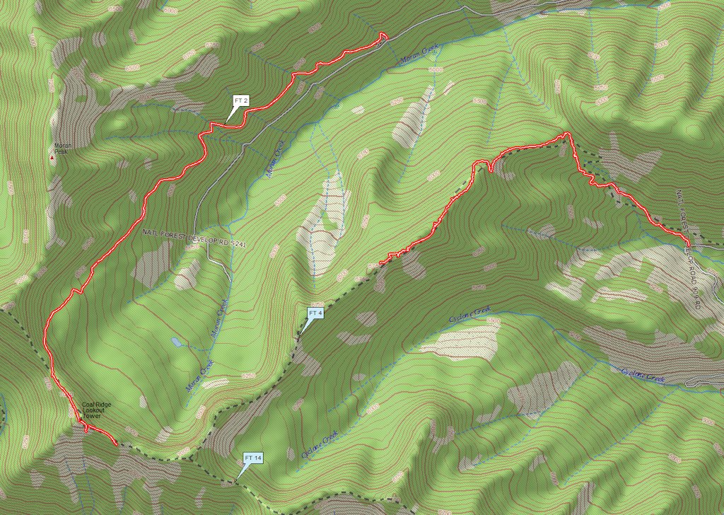
Hay Creek Drainage – West End

Well, rats. USFS map prices are going up. Here’s the meat of the official press release . . .

For the first time in nearly a decade, increasing costs of production, printing, and distribution are driving the need for the U.S. Department of Agriculture’s U.S. Forest Service to increase the price of its maps. Prices of USFS paper and plastic coated maps will increase to $14 on Monday, Jan. 1, 2018.

The Forest Service continually updates its maps and looks for ways to enhance maps. The Forest Service expects to shorten the revision cycle as cartographers continue to apply new digital technology to the map revision process.

The Forest Service is also working to increase the availability of digital maps. Digital maps for mobile applications can be downloaded here: http://www.avenza.com/pdf-maps/store. Digital maps cost $4.99 per side.

There are three ways to order maps from the National Forest Map Store (NFMS):

  1. Online: www.NationalForestStore.com
  2. By phone: (406) 329-3024
  3. By US Mail:

USDA Forest Service
National Forest Store
P.O. Box 7669
Missoula, MT 59807

In an effort to help offset the pricing increase for volume sales, starting Jan. 1, 2018 discount pricing will be made available on sales of 10 or more of maps of the same title. Discounted maps are only available when purchased through the NFMS.

The U.S. Forest Service is dedicated in researching, producing and distributing informative, accurate maps that can help improve the experience on America’s national forests and grasslands. Additional online resources that may help users enjoy the great outdoors:
Interactive Visitor Map to help you find great places to go and explore
Know Before You Go for tips that can help you enjoy the outdoors and be safe
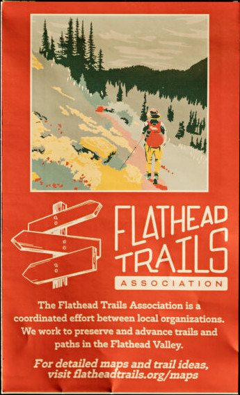
Gibraltar Ridge and Weasel Fire – Road, Trail & Area Closures

Gibraltar-Weasel Closure Map, Sep 10, 2017

Gibraltar-Weasel Closure Map, Sep 10, 2017

This just in from the Flathead National Forest . . .

Media Contact: Janette Turk
(406) 758-5252
jturk@fs.fed.us

Kalispell, MT. September 10, 2017- The Gibralter Ridge Fire and the Weasel fire are burning in the Kootenai National Forest approximately 7 miles east of Eureka.  The east side of the Gibraltar fire has moved into the mouth of the Blue Sky drainage in the Whitefish Range.  The Weasel fire has moved near the Flathead and Kootenai forest boundary.  To protect health and public safety by keeping the public out of the active fire area, the Kootenai National Forest has closed a large area from the Whitefish divide to the west boundary of the Fortine District, and from the Canadian Border to Deep Creek. The Flathead National Forest has closed an area north of Link lake trailhead north to the Canada border and east of the Kootenai border.

The following NFS Road is partially closed:

  • A portion of NFS Road #114 (Trail Creek Road) from the Flathead National Forest boundary to the junction with Stoken Bridge/Foothills Road. To support these efforts the Flathead National Forest has installed a gate on NFS Road #114 (Trail Creek) and has closed NFS Road #114 from mile point 8.8 to 14.8, the boundary with the Kootenai National Forest.

The following NFS trails are closed:

  • Trails 19, 23, 114, 113, 22, 13, 28, 79, 11, 13, 106 and 26 from the Link lake TH to the north.

The following NFS area is closed:

  • Area from the Link lake TH north along the Kootenai/Flathead NF boundary to the Canada border

Forest fire fighting resources are supporting the fires listed above and are prepared with initial attack resources as needed.  For more information contact the Hungry Horse/Glacier View District at 406-387-3800.