Category Archives: Maps

Hay Creek area trails exploration

Debo Powers’ article covers our recent activity in the west end of the Hay Creek drainage, but I thought it useful to include some additional material here.

Here’s a map of the two expeditions Debo mentions. The red track is the Trail 3-Trail 26 survey conducted on September 13. In yellow is the route of the successful September 18 search for the Trail 26-Trail 14 junction.

Hay Creek Explorations

Hay Creek Explorations

Randy and I added about a mile to our part of the Trail 3 hike by spending some time investigating Hay Lake.

Hay Lake

Hay Lake

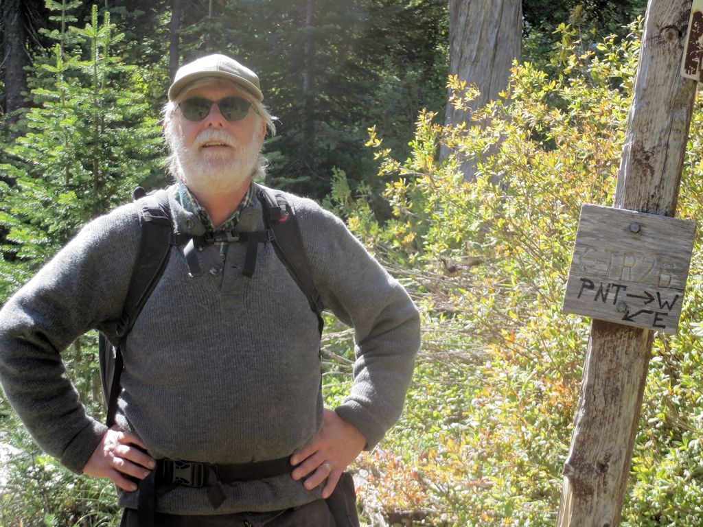
Here’s Randy at the Trail 3-Trail 26 junction.

Randy at T26

Randy at T26

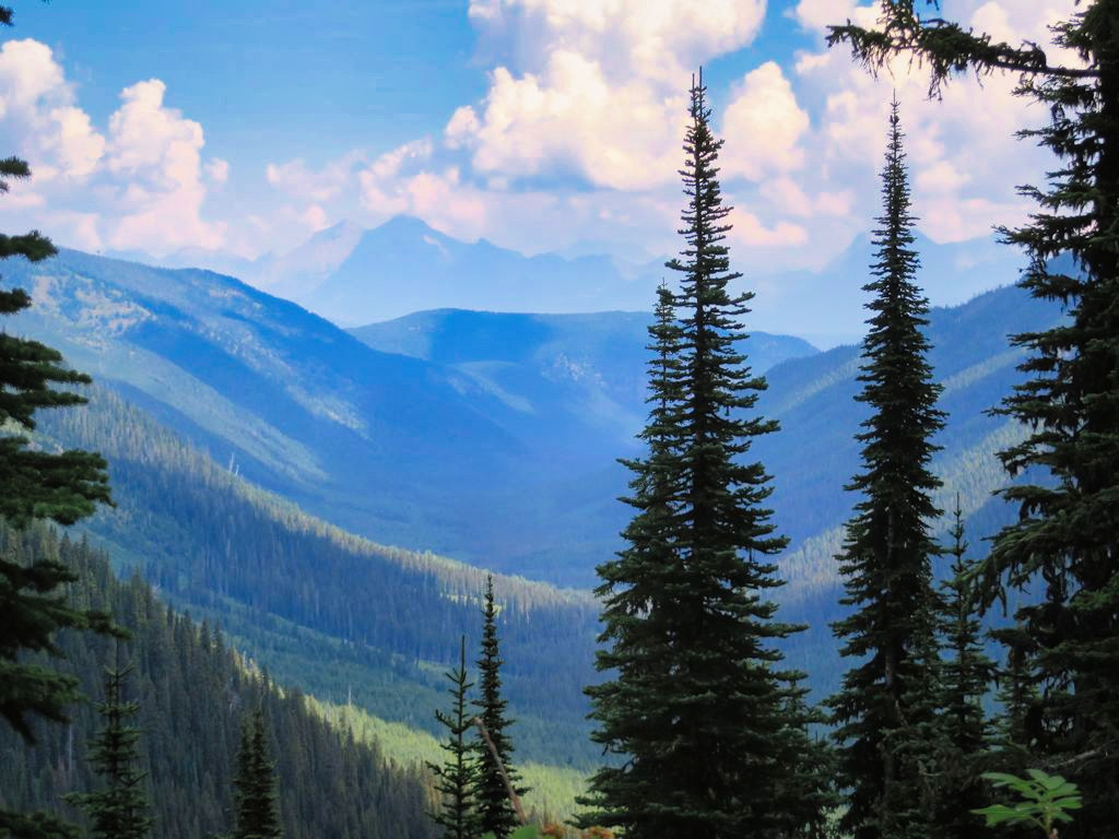
And here’s a photo of the Hay Creek drainage from the west end that I took on an earlier expedition up Trail 26.

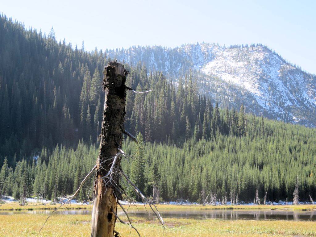
Hay Creek Drainage from West End

Hay Creek Drainage from West End

Moran Basin trails wrap-up: Trails 2, 4 and 14

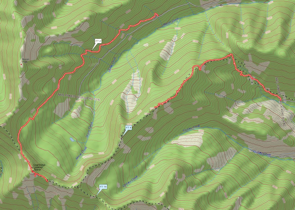
August saw a lot of activity on the trails surrounding the Moran Creek Basin. See below for the GPS tracks. (The Trail 4 trace is roughly .25 miles short because I didn’t start recording immediately on the return trip.)

Moran Basin Trails

Moran Basin Trails

On August 11, we (Bill Walker, Jerry Costello and Bob Nelson) worked through the last of the downed wood and underbrush on Trail 4, encountering almost unrestricted ridge-top travel for the next half-mile or so. At that point — about 1.25 miles from the Trail 14 junction — we decided to carry our equipment out rather than continue.

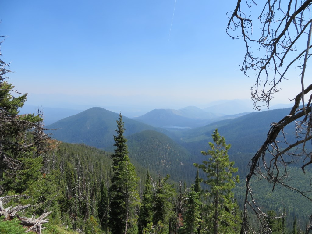
We found a nice view of Cyclone Peak and Lake on the way back . . .

Cyclone Peak and Lake

Cyclone Peak and Lake

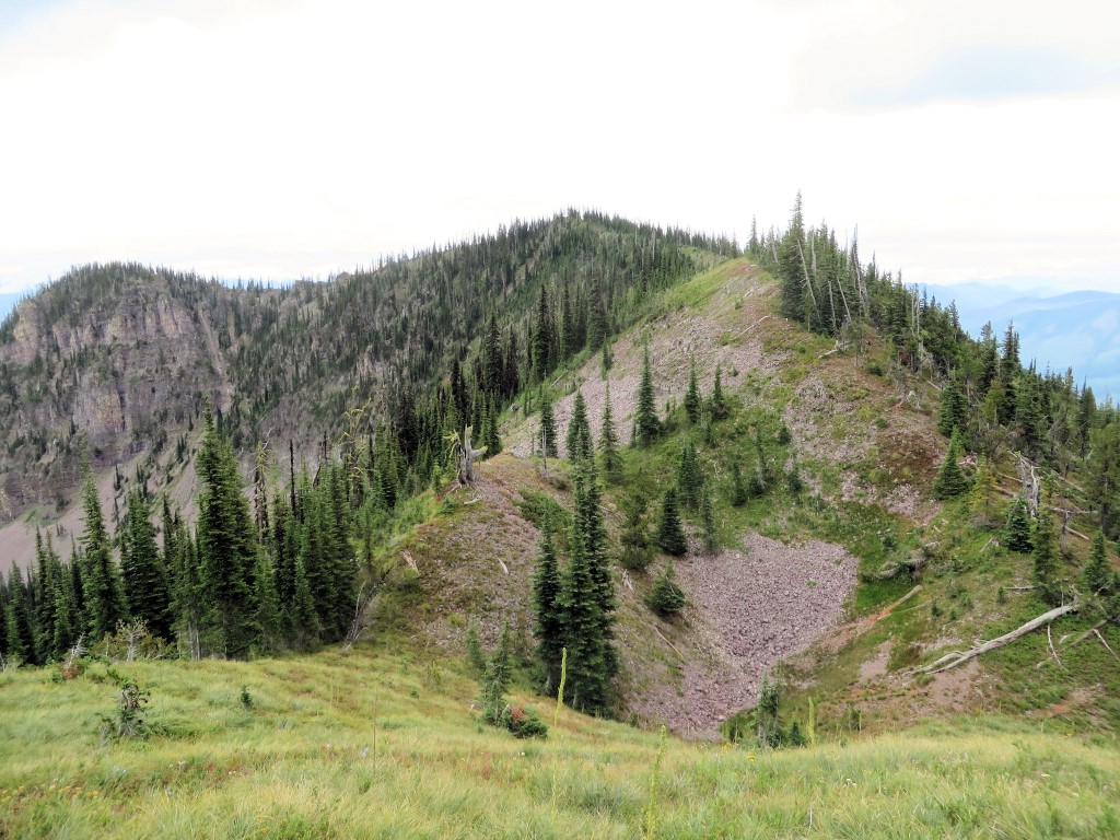
A couple of weeks later, Jerry and I went round the north and west sides of the basin on trails 2 and 14. The tread started to fade a little ways past the old Coal Ridge lookout tower. We took a photo at our turnaround point and called it a day . . .

Trail 14 Limit of Travel

Trail 14 Limit of Travel

The next step is to walk and identify those last little bits of trails 4 and 14, possibly with two groups, one going in from each end.

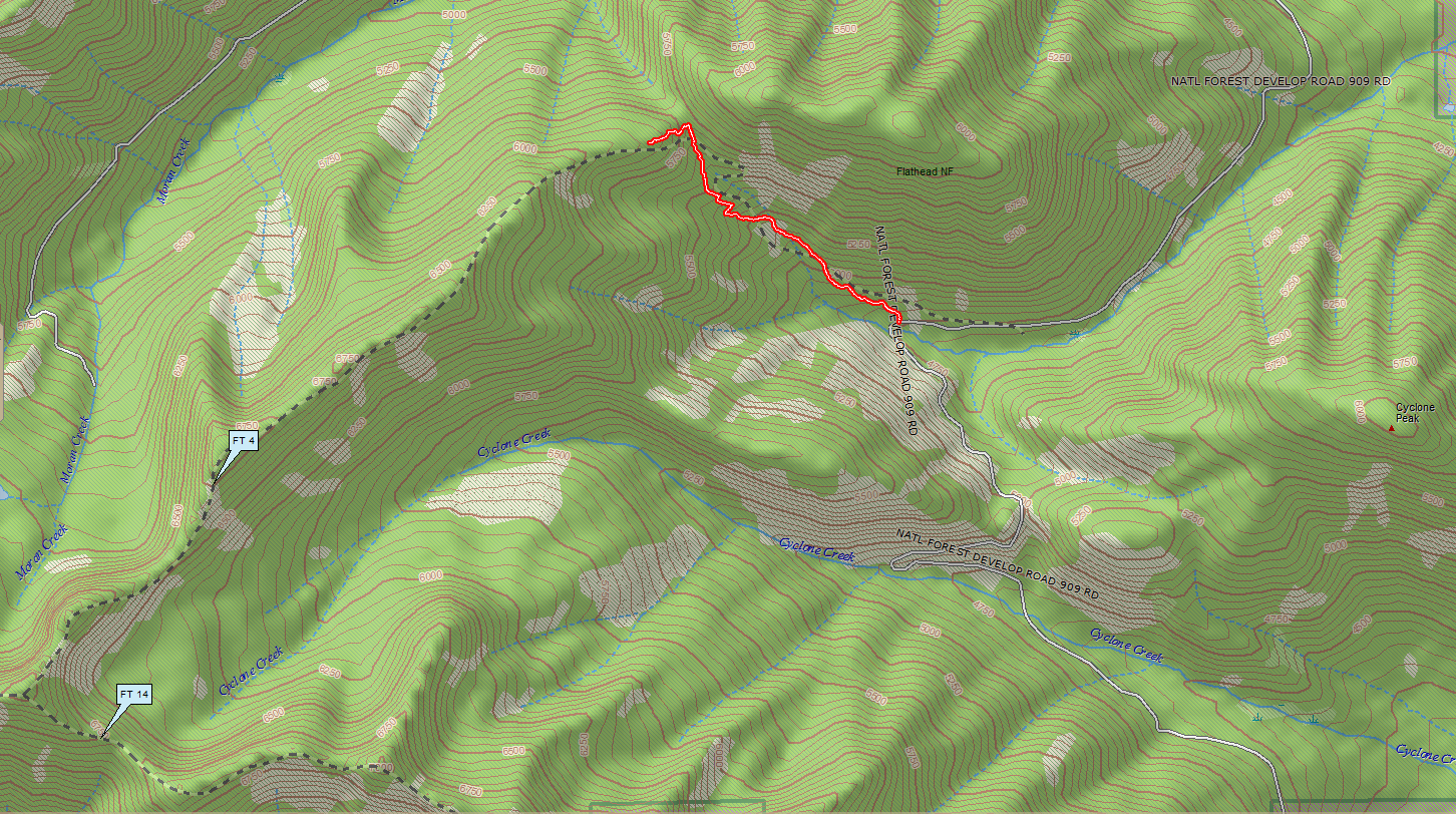
Trail 4: Track log from ridge top to trailhead

A bunch of determined individuals (myself, John Frederick, Amy Robinson, Dave Hadden and Debo Powers) hiked up Trail 4 in the rain June 26. We cached some equipment and showed a couple of folks who hadn’t seen it the final segment up to the top of the ridge.

On the way back down, I managed to get a reasonably smooth GPS track from the ridge top to the trailhead at Road 909. This completes the most essential part of the survey, since the remainder of the trail just follows the ridge until it intersects Trail 14.

See below for the Trail 4 track in context of the major nearby land features.

Trail 4 track from 909 to ridge top, in context

Trail 4 Track from 909 to Ridge Top, in Context