Tag Archives: Hay Creek Road

Hay Creek Road closure

Hay Creek Road slump, April 2017

Hay Creek Road slump, April 2017

UPDATE: The road was reopened on May 26, just in time for the Memorial Day weekend.

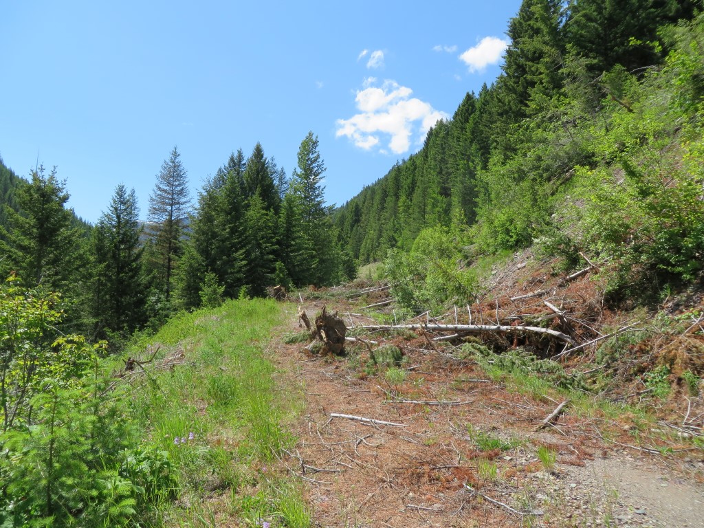
According to the Flathead National Forest’s Facebook page, The Hay Creek Road is closed due to a slump a short distance from its junction with the North Fork Road. Depending on when repairs are made, his could be a real problem for our spring activities in the Hay Creek drainage.

A road slump up Hay Creek Road #376 has caused closure until the road dries out and repairs can be made. Please be cautious when driving on roads that are saturated with water due to snow melt and run off. If you find damage to roads when you’re out and about, please let us know so we can evaluate conditions and make necessary repairs when conditions improve.

The 2016 trails season begins

No, really. We actually did a small trail project in February, not to mention a nice little ski trip.

On February 23, a couple of us — myself (Bill Walker) and Greg Evans — headed up Trail 266 towards Glacier View Peak from the trailhead near the Camas Road. We removed 22 blow-downs from the first mile of trail and had lunch with a view.

160223 - Trail 266 - Trailhead at Camas

Trail 266 – Trailhead at Camas

160223 - Trail 266 - Lunch

Trail 266 – Lunch With a View

A few days later, a group of us had a pleasant ski up Road 909 from the Hay creek Road. Everyone had a good time. Upholding NFTA tradition, we cut out a couple of blow-downs on the way back.

160226 - Rd 909, Hay Creek Drainage

Road 909, Hay Creek Drainage – Left to right: Greg Evans, Ceder, Randy Kenyon, John O’Hara, Joyce O’Hara, Debo Powers, Bill Walker and Rachel Peura (behind the camera)

It was a nice start to what should be a good trails season.

Coal Ridge — Hay Creek tour

July 3, John Frederick and I took advantage of a nice day and open Forest Service gates to do the tour of the Coal Ridge — Hay Creek drainage area. We went perhaps a quarter-mile up Trail 4 with the big chain saw, did a little clean up and  then drove to the Trail 3 trailhead at the west end of Hay Creek Road.

Trail 3, most of which is old roadbed, is in excellent shape for the first mile (and likely for at least another three after that). It offers a broad vista of the west end of the Hay Creek watershed, including the Whitefish Divide.

Trail 3 - looking west

Trail 3 – looking west towards Whitefish Divide

Moran Basin Road (Road 5241), the last stop on our tour, has problems. We encountered a bad slide about two miles in where a collection of trees had slid down the bank, roots and all, spilling across the road. I cut out the first pile, but we encountered two more about a quarter-mile farther up the road. Until the Forest Service cleans this up, Moran Basin Road is navigable only by ATVs and bikes. Update: By July 8, the road was open. Someone (not the Forest Service) had removed enough debris to allow passage by regular vehicles.

Slides on Moran Basin Road - July 3, 2014

Slides on Moran Basin Road – July 3, 2014