Tag Archives: Moran Basin Road

Moran Basin and Trail 2

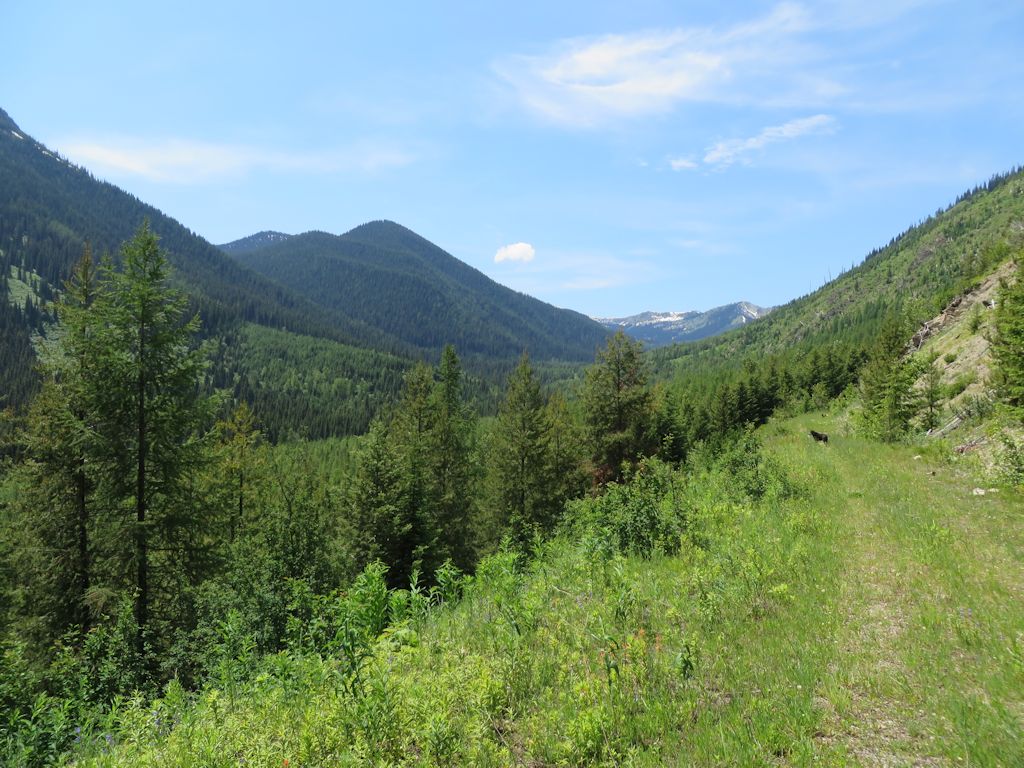
On July 10, we took another look at Moran Basin Road (Road 5241). The slides had been cut out a few days earlier (reportedly, not by the Forest Service but by a third party), so we were able to reach the Trail 2 trailhead. Time was limited, so I decided to go as far up the trail as I could get by mid-afternoon.

Trail 2 is a popular local hike, climbing south along the western edge of the Moran Creek Basin until it reaches the crest of Coal Ridge near the old lookout and patrol cabin. Although I didn’t reach the ridge top, I got several photos along the way.

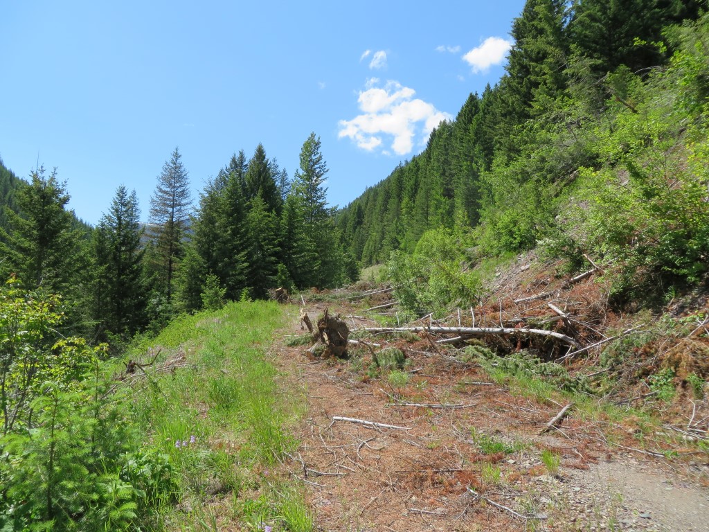
Here’s the trail near the beginning. As you can see, it’s in great shape.

Trail 2 - Near Start

Trail 2 – Near Start

The remains of the lookout are still standing.

Coal Ridge Lookout From a Distance

Coal Ridge Lookout From a Distance

There were quite a few water crossings, including this nice waterfall. John’s dog, Blue, is certainly enjoying it.
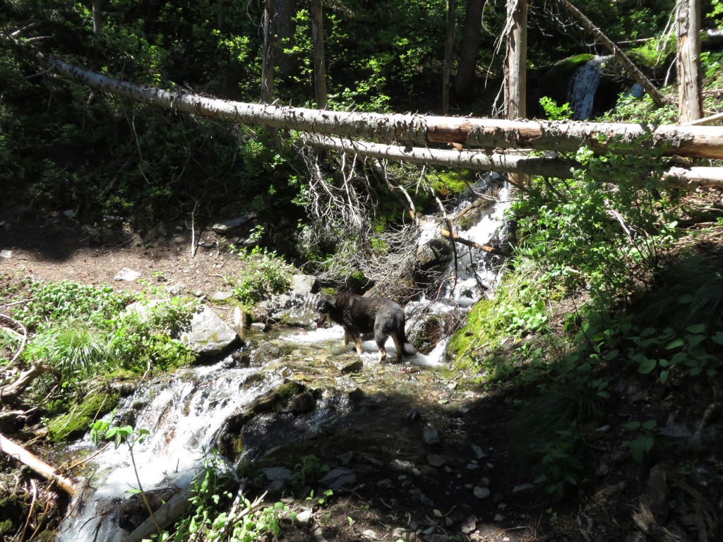
Trail 2 Waterfall

Trail 2 Waterfall

At that altitude, the wildflowers were still in full display.

Trail 2 - Wildflowers

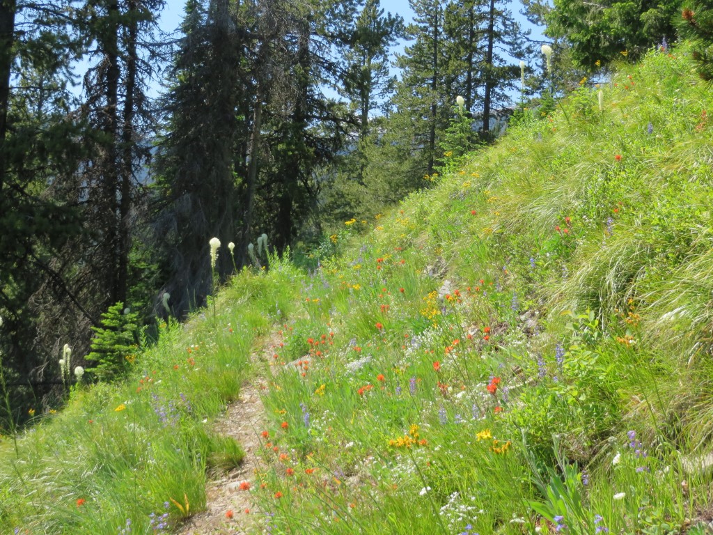
Trail 2 – Wildflowers

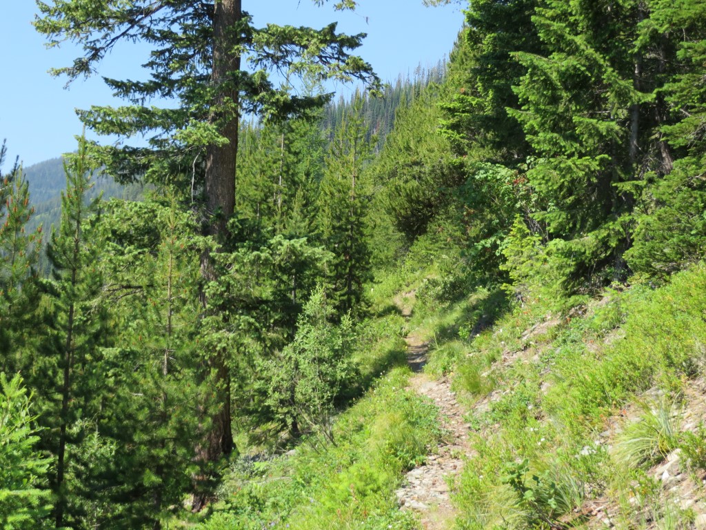
I had to turn around at this point — near Coal Ridge, but not yet above the trees.

Trail 2 - Nearing Coal Ridge

Trail 2 – Nearing Coal Ridge

Coal Ridge — Hay Creek tour

July 3, John Frederick and I took advantage of a nice day and open Forest Service gates to do the tour of the Coal Ridge — Hay Creek drainage area. We went perhaps a quarter-mile up Trail 4 with the big chain saw, did a little clean up and  then drove to the Trail 3 trailhead at the west end of Hay Creek Road.

Trail 3, most of which is old roadbed, is in excellent shape for the first mile (and likely for at least another three after that). It offers a broad vista of the west end of the Hay Creek watershed, including the Whitefish Divide.

Trail 3 - looking west

Trail 3 – looking west towards Whitefish Divide

Moran Basin Road (Road 5241), the last stop on our tour, has problems. We encountered a bad slide about two miles in where a collection of trees had slid down the bank, roots and all, spilling across the road. I cut out the first pile, but we encountered two more about a quarter-mile farther up the road. Until the Forest Service cleans this up, Moran Basin Road is navigable only by ATVs and bikes. Update: By July 8, the road was open. Someone (not the Forest Service) had removed enough debris to allow passage by regular vehicles.

Slides on Moran Basin Road - July 3, 2014

Slides on Moran Basin Road – July 3, 2014