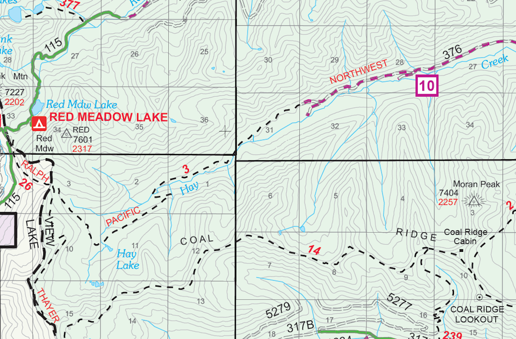
Trail 3 got a more thorough look July 21. I still didn’t have time to walk the entire length, but I did the first 4 out of about 5.5 miles.
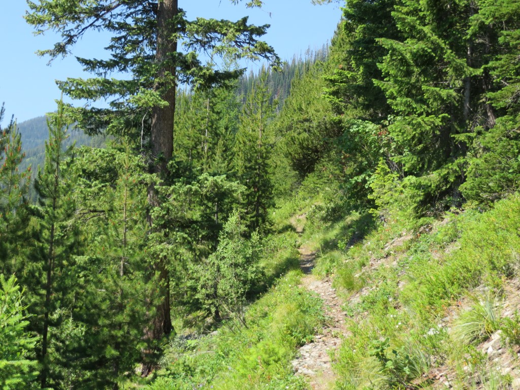
Trail 3, a segment of the Pacific Northwest Trail, continues west from the end of Hay Creek Road. Most of it is old roadbed, making it suitable for either hiking or bicycling.
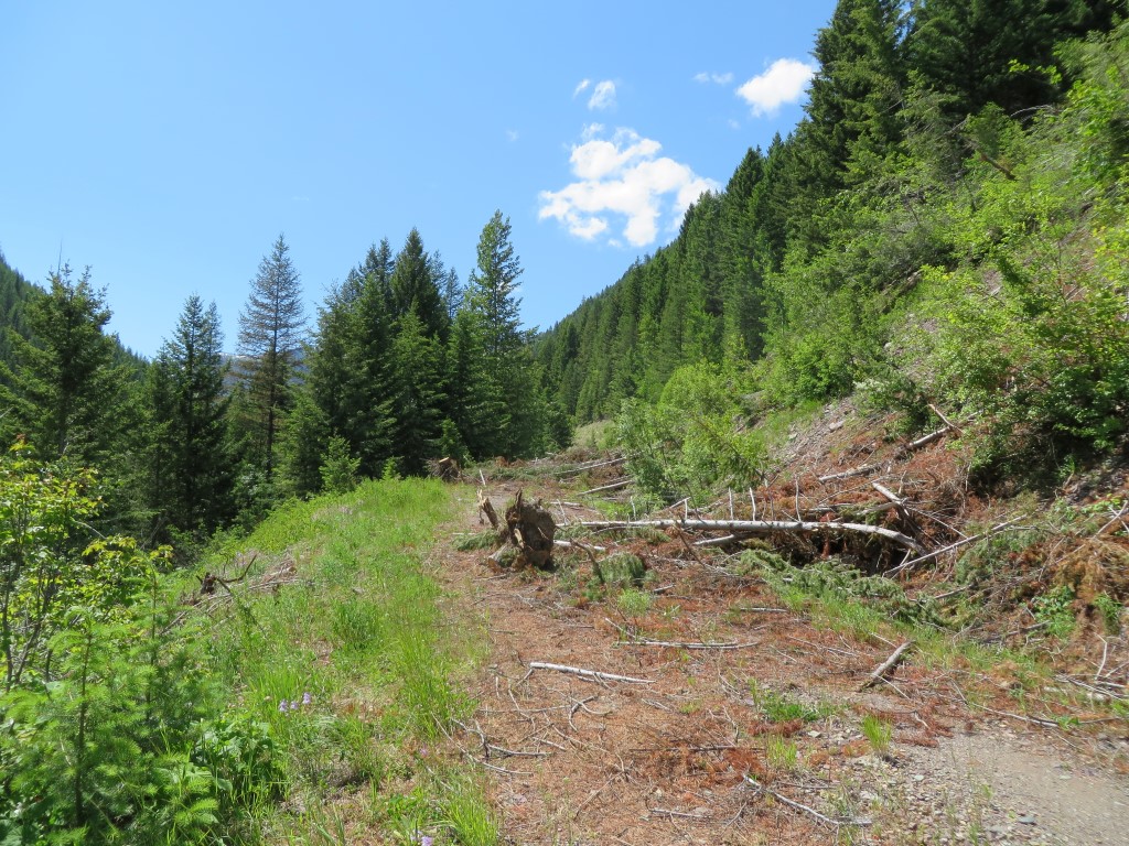
Hay Creek Drainage – West End
The trail is generally in good shape, although alder is starting to encroach on it where it passes close to Hay Lake.
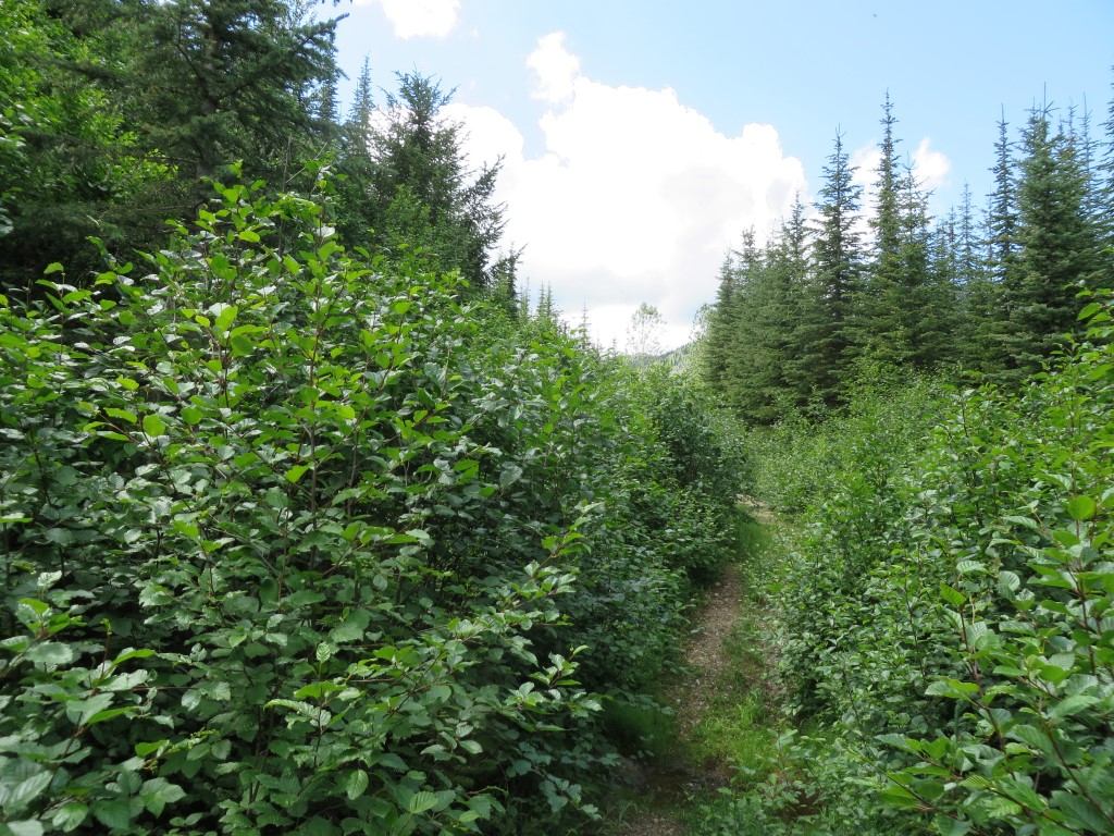
Alder Thickets – Trail 3 Near Hay Lake
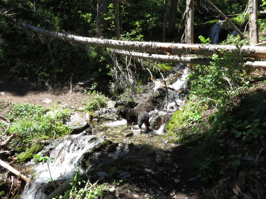
Trail 3 crosses Hay Creek perhaps a half-mile before the alders get really thick. The Forest Service conveniently left a very sturdy bridge in-place.
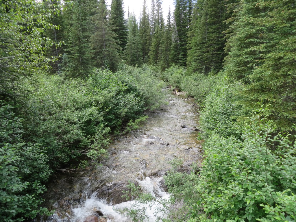
Hay Creek – Near West End
There was a lot of animal sign along the trail. I saw scat from mountain lion, grouse, coyote and pine martin. Most noticeable, though, was an extravagant amount of bear by-product. I encountered several spruce grouse, including this hen that made sure her chicks were safe before taking flight herself…
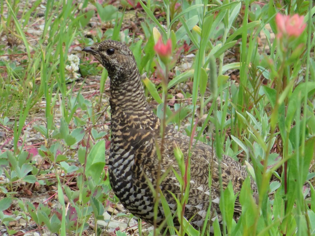
Female Spruce Grouse Along Trail 3
The only real problem with Trail 3 is weeds. The first mile (starting from the eastern end at Hay Creek Road) has a heavy knapweed infestation. Just beyond mile 2, there is an extensive patch of orange hawkweed. The Forest Service has been notified and likely will do something about this fairly soon.
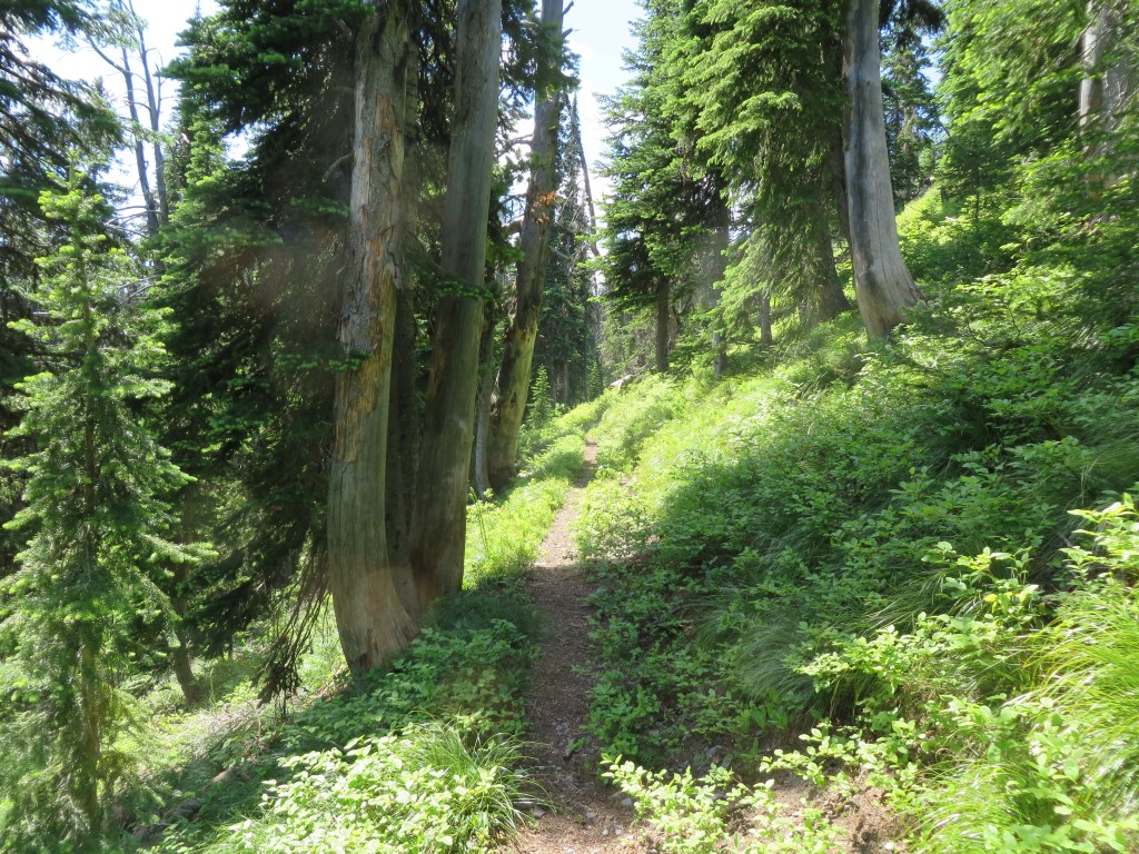
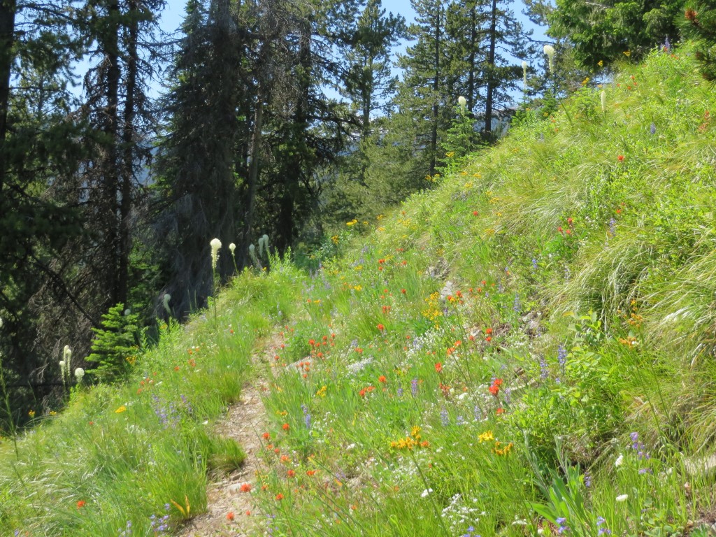
Overall, it is a nice trail, quite scenic in spots and providing ready access to the Whitefish Divide trail near its intersection with Red Meadow Road.
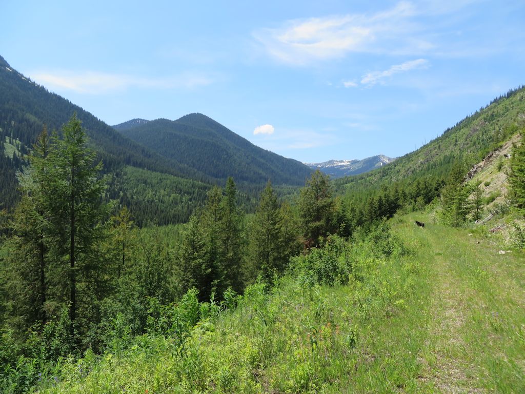
Trail 3 – looking west