August saw a lot of activity on the trails surrounding the Moran Creek Basin. See below for the GPS tracks. (The Trail 4 trace is roughly .25 miles short because I didn’t start recording immediately on the return trip.)
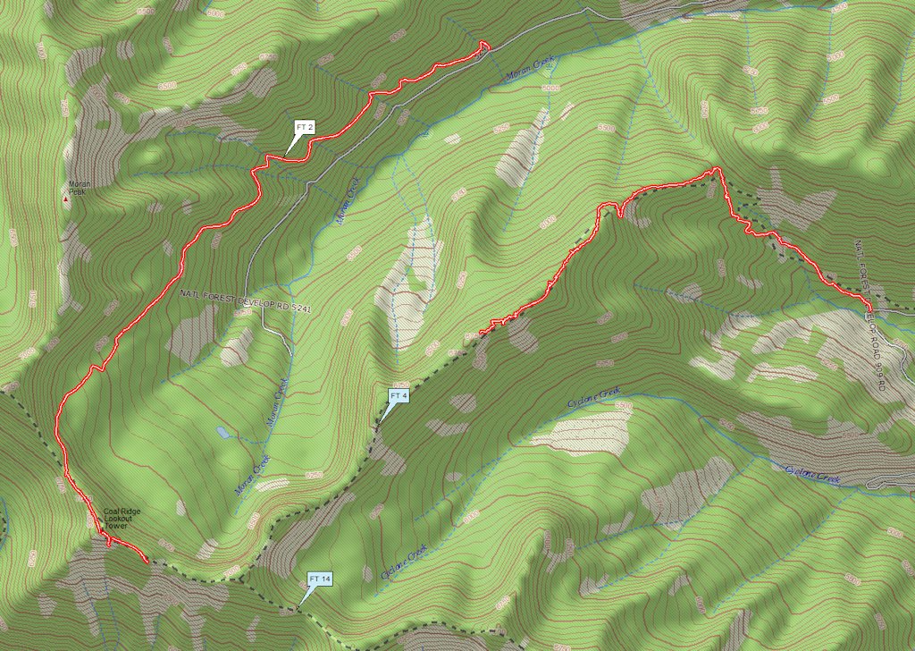
Moran Basin Trails
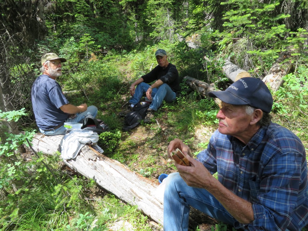
On August 11, we (Bill Walker, Jerry Costello and Bob Nelson) worked through the last of the downed wood and underbrush on Trail 4, encountering almost unrestricted ridge-top travel for the next half-mile or so. At that point — about 1.25 miles from the Trail 14 junction — we decided to carry our equipment out rather than continue.
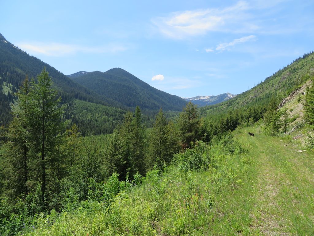
We found a nice view of Cyclone Peak and Lake on the way back . . .
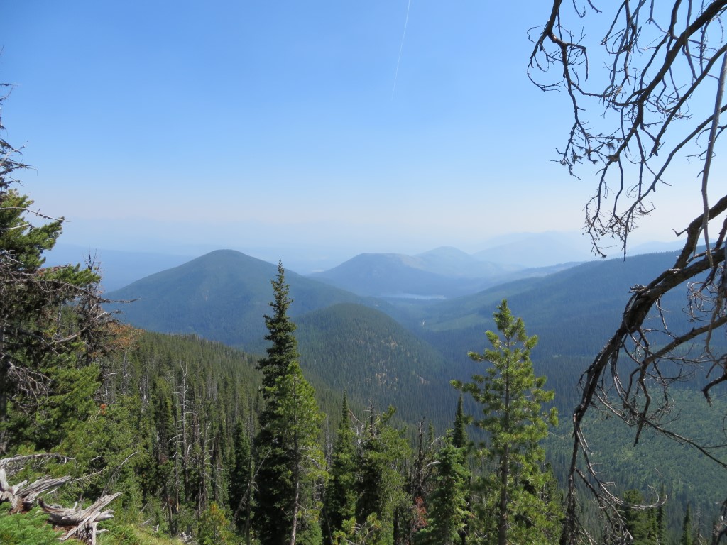
Cyclone Peak and Lake
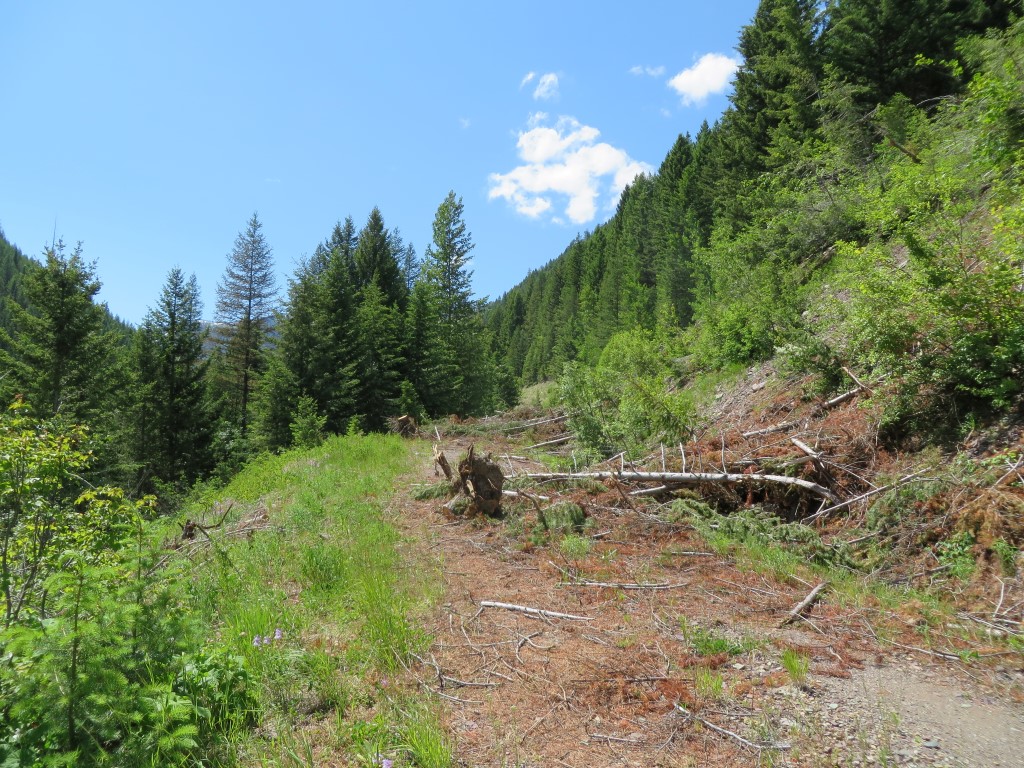
A couple of weeks later, Jerry and I went round the north and west sides of the basin on trails 2 and 14. The tread started to fade a little ways past the old Coal Ridge lookout tower. We took a photo at our turnaround point and called it a day . . .
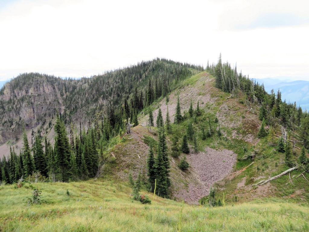
Trail 14 Limit of Travel
The next step is to walk and identify those last little bits of trails 4 and 14, possibly with two groups, one going in from each end.