Tag Archives: Trail 2

Coal Ridge cabin gets more renovation work

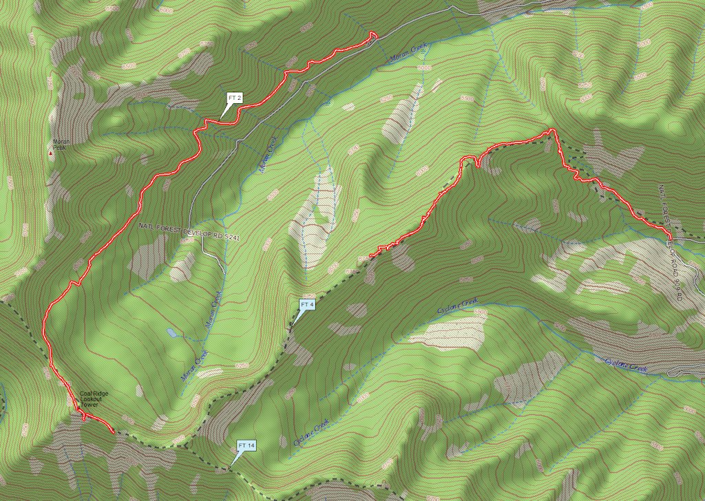
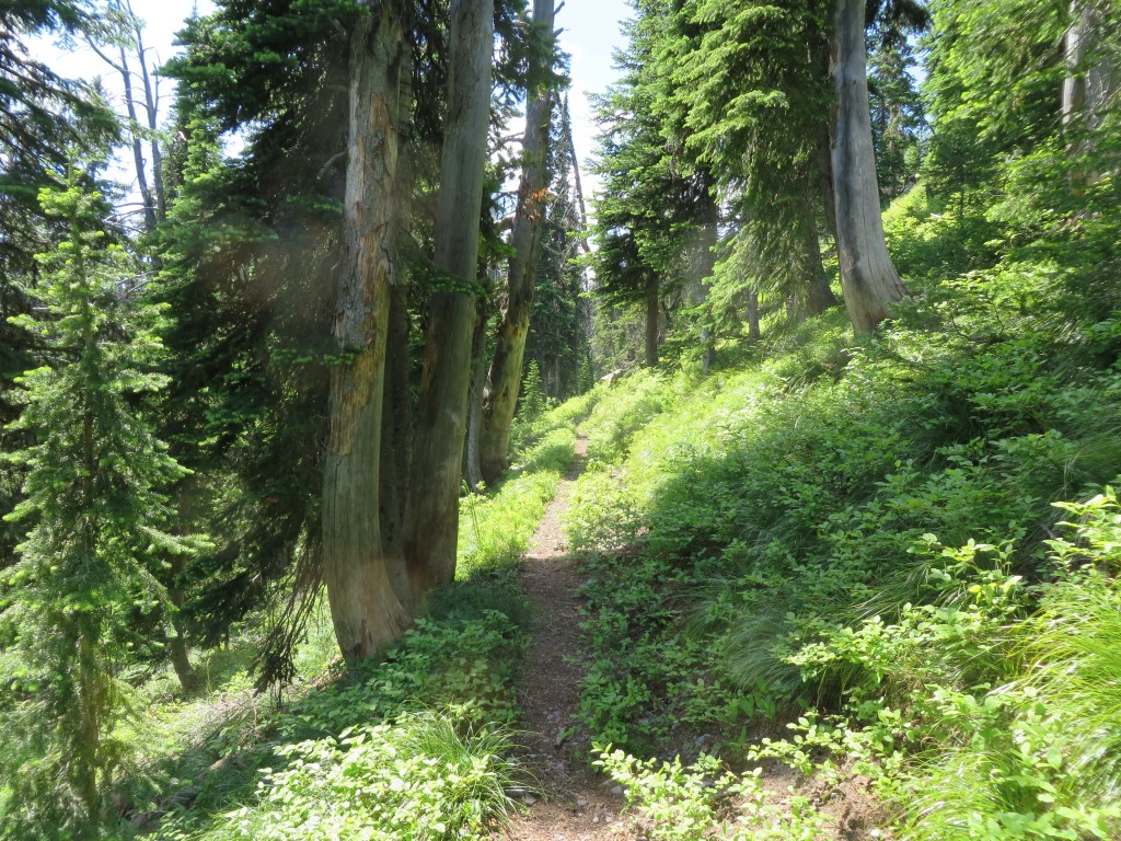
It seems the Coal Ridge “patrol cabin” (on Trail 14, just west of the Trail 2 intersection) was actually the original lookout up there. Anyways, it got new siding last week to go with the roof that was installed a couple of years ago . . .

An historic lookout up the North Fork on Coal Ridge received some badly needed care last week as Forest Service crews installed new siding on the weather-beaten building.

The Coal Ridge Lookout, which has sat atop the Whitefish Range since 1928, doesn’t resemble a lookout — the current map actually calls it a cabin. It has small windows, and the Osborne Fire Finder used to pinpoint fire starts was mounted on a metal pole outside of the building.

But it was a definitely a fire lookout, Flathead National Forest lookout Leif Haugen said.

Read more . . .

For more information on this project, go to http://www.nwmt-ffla.org/#!2014-projects/c1nlq and scroll down to the “Moran Patrol Cabin” section.

Moran Basin trails wrap-up: Trails 2, 4 and 14

August saw a lot of activity on the trails surrounding the Moran Creek Basin. See below for the GPS tracks. (The Trail 4 trace is roughly .25 miles short because I didn’t start recording immediately on the return trip.)

Moran Basin Trails

Moran Basin Trails

On August 11, we (Bill Walker, Jerry Costello and Bob Nelson) worked through the last of the downed wood and underbrush on Trail 4, encountering almost unrestricted ridge-top travel for the next half-mile or so. At that point — about 1.25 miles from the Trail 14 junction — we decided to carry our equipment out rather than continue.

We found a nice view of Cyclone Peak and Lake on the way back . . .

Cyclone Peak and Lake

Cyclone Peak and Lake

A couple of weeks later, Jerry and I went round the north and west sides of the basin on trails 2 and 14. The tread started to fade a little ways past the old Coal Ridge lookout tower. We took a photo at our turnaround point and called it a day . . .

Trail 14 Limit of Travel

Trail 14 Limit of Travel

The next step is to walk and identify those last little bits of trails 4 and 14, possibly with two groups, one going in from each end.

Moran Basin and Trail 2

On July 10, we took another look at Moran Basin Road (Road 5241). The slides had been cut out a few days earlier (reportedly, not by the Forest Service but by a third party), so we were able to reach the Trail 2 trailhead. Time was limited, so I decided to go as far up the trail as I could get by mid-afternoon.

Trail 2 is a popular local hike, climbing south along the western edge of the Moran Creek Basin until it reaches the crest of Coal Ridge near the old lookout and patrol cabin. Although I didn’t reach the ridge top, I got several photos along the way.

Here’s the trail near the beginning. As you can see, it’s in great shape.

Trail 2 - Near Start

Trail 2 – Near Start

The remains of the lookout are still standing.

Coal Ridge Lookout From a Distance

Coal Ridge Lookout From a Distance

There were quite a few water crossings, including this nice waterfall. John’s dog, Blue, is certainly enjoying it.

Trail 2 Waterfall

Trail 2 Waterfall

At that altitude, the wildflowers were still in full display.

Trail 2 - Wildflowers

Trail 2 – Wildflowers

I had to turn around at this point — near Coal Ridge, but not yet above the trees.

Trail 2 - Nearing Coal Ridge

Trail 2 – Nearing Coal Ridge