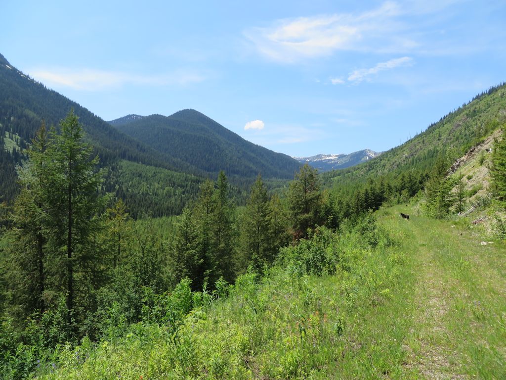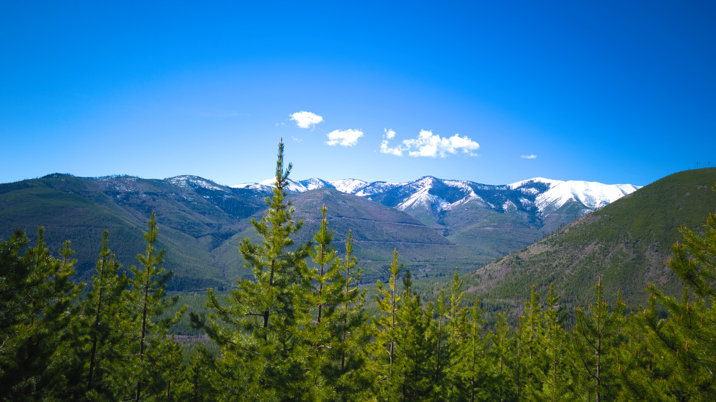
View across Big Creek drainage from Glacier View Mtn Tr 381, Apr 30, 2026 – W. K. Walker
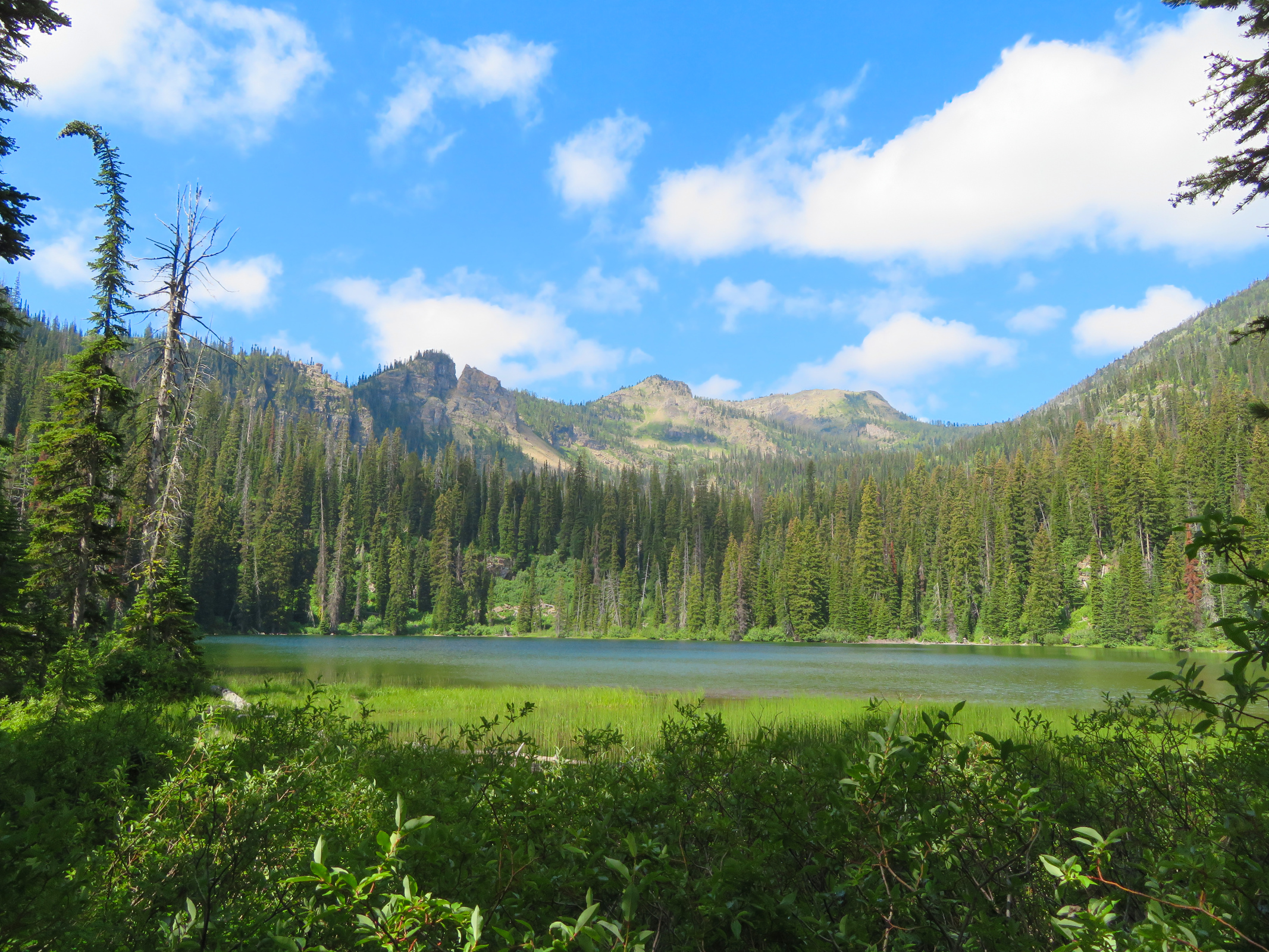
The June 5, 2026 Forest Service Trail Condition Reports for the Glacier View and Hungry Horse Ranger Districts have been posted to the website Trail Conditions page.
These reports contain a fair amount of useful information. Besides trail conditions, they include trail numbers, their official names and end-to-end mileages. The reports may also list information on trail and area closures, especially during fire season.
The current fire danger at the time of this post was LOW.