A bunch of determined individuals (myself, John Frederick, Amy Robinson, Dave Hadden and Debo Powers) hiked up Trail 4 in the rain June 26. We cached some equipment and showed a couple of folks who hadn’t seen it the final segment up to the top of the ridge.
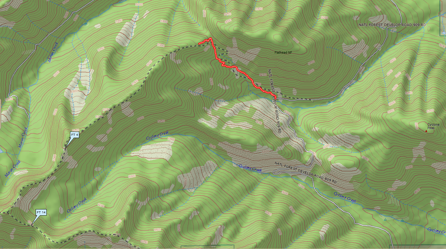
On the way back down, I managed to get a reasonably smooth GPS track from the ridge top to the trailhead at Road 909. This completes the most essential part of the survey, since the remainder of the trail just follows the ridge until it intersects Trail 14.
See below for the Trail 4 track in context of the major nearby land features.
