Tag Archives: Trail 4

Trail 4: Track log from ridge top to trailhead

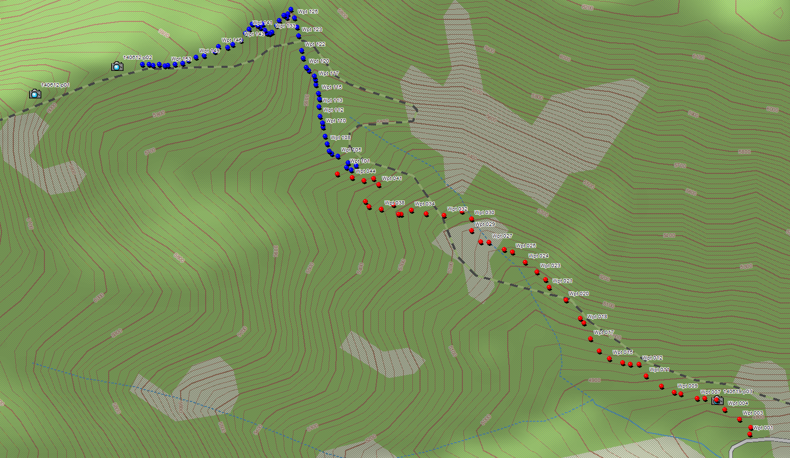
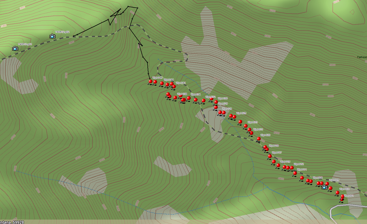
A bunch of determined individuals (myself, John Frederick, Amy Robinson, Dave Hadden and Debo Powers) hiked up Trail 4 in the rain June 26. We cached some equipment and showed a couple of folks who hadn’t seen it the final segment up to the top of the ridge.

On the way back down, I managed to get a reasonably smooth GPS track from the ridge top to the trailhead at Road 909. This completes the most essential part of the survey, since the remainder of the trail just follows the ridge until it intersects Trail 14.

See below for the Trail 4 track in context of the major nearby land features.

Trail 4 track from 909 to ridge top, in context

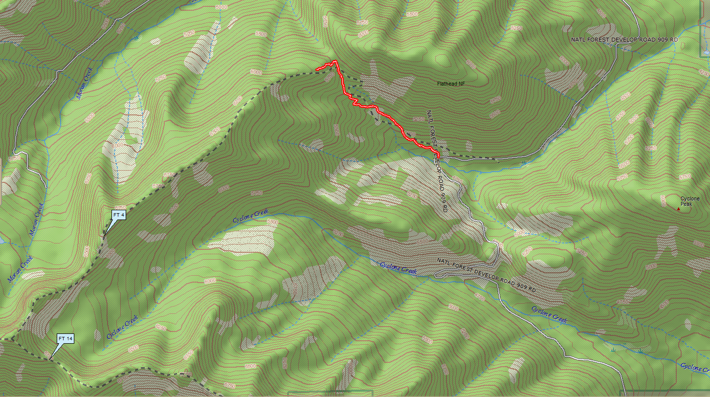
Trail 4 Track from 909 to Ridge Top, in Context

Trail 4: Waypoints complete to ridge top

John Frederick and I took a run up Trail 4 yesterday, June 24, with the objective of acquiring a good set of waypoints for the final segment climbing up to the ridge top. See below for the result.

Barring the usual handful of outliers, we now have an accurate set of coordinates running from Road 909 to the top of the ridge. This completes the important stuff. The remainder of the trail just stays on top of the ridge — no mystery there.

The red dots are data acquired in September of last year. The blue ones represent yesterday’s effort.

Trail 4 Waypoints from Road 909 to Ridge Top

Trail 4 Waypoints from Road 909 to Ridge Top

Trail 4: The missing link

We finally found the piece of Trail 4 that provides access to the ridge top.

Last Thursday, June 19, Dave Hadden, John Frederick and I headed back up with the objective of tracing the section along the ridge top back down to where it connected with the previously scouted part of the trail that ascends from its eastern terminus at Road 909.

Kudos go to Dave Hadden on this one. He arrived early, located the trail corridor Will Hammerquist stumbled across a couple of weeks ago, and traced the route all the way to the top of the ridge. He then did the route a second time for my benefit when I got there.

You can see the trace (black line) based on my camera’s GPS log below. It’s jittery, but the basic routing is clear: The trail segment climbs up a minor draw, makes an abrupt turn to the west and switchbacks up the end of the ridge until it reaches the top.

Trail 4 - June 19 Track

Trail 4 – June 19 Track

Bonus: I finally got a half-decent photo of the Calypso Orchids near the trail-head before they disappeared.

Calypso Orchids

Calypso Orchids