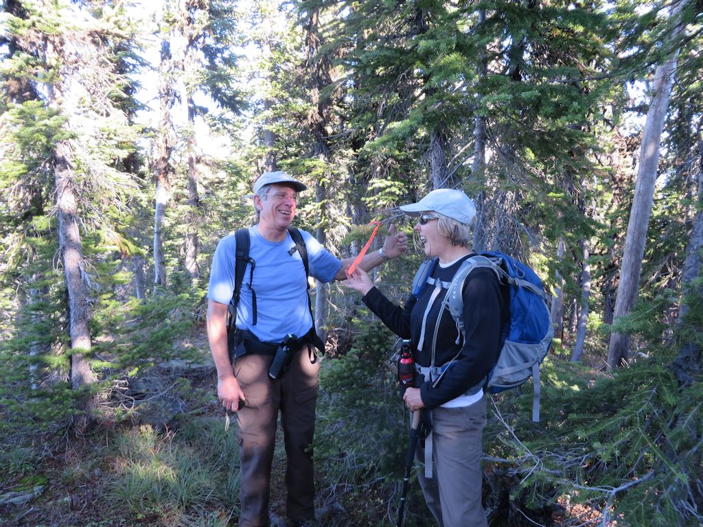
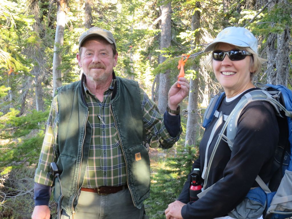
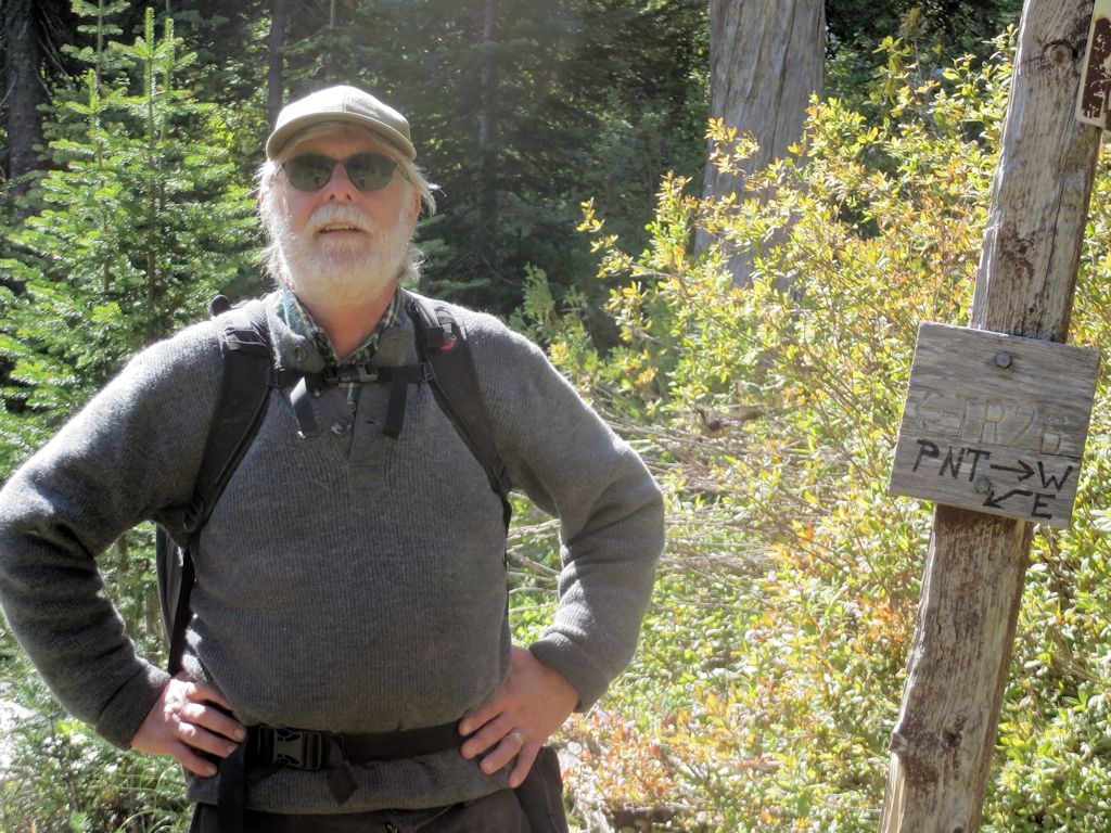
Randy Kenyon and Bill Walker spent a few hours yesterday (July 2, 2015) almost clearing the first 2.5 miles of Trail 2.They’re leading a hike up this trail in just over two weeks, so a little maintenance was in order.
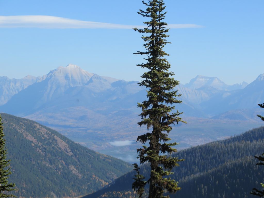
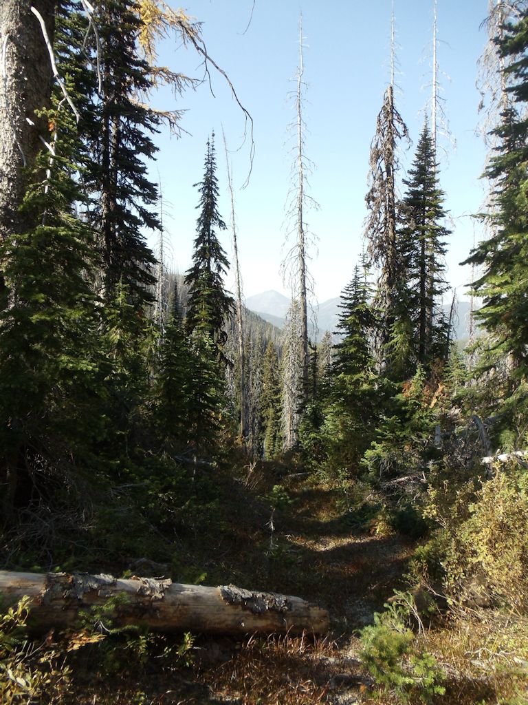
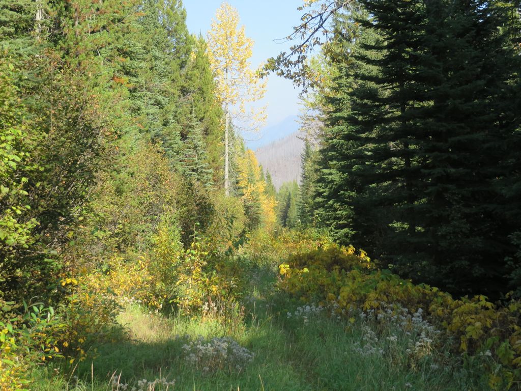
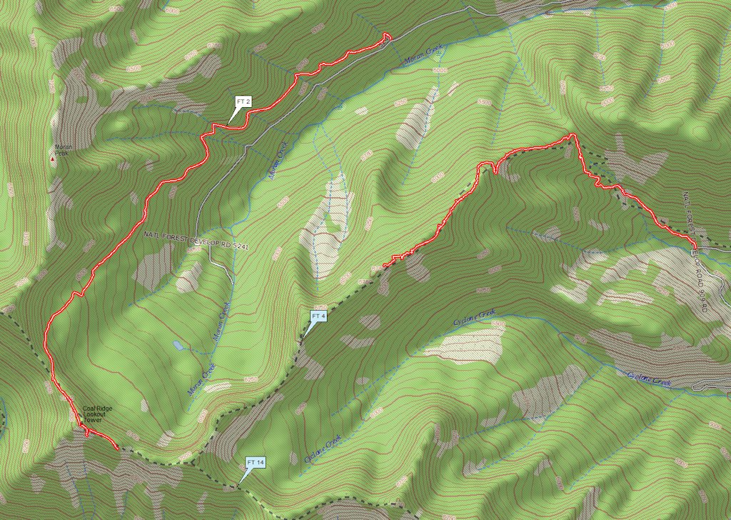
Trail 2, the Moran Creek Trail, runs about 3 miles (4.8 km) from a trailhead on Moran Basin Road (road 5241) to the top of Coal Ridge. It is the most popular route for visiting the old lookout sites along the spine of Coal Ridge.
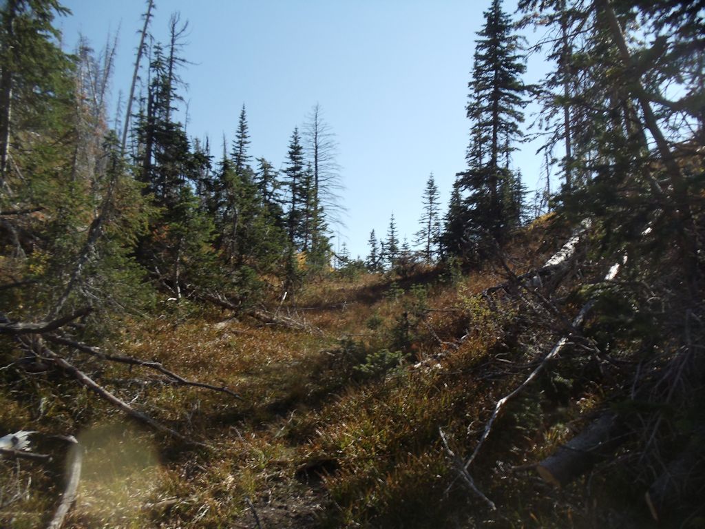
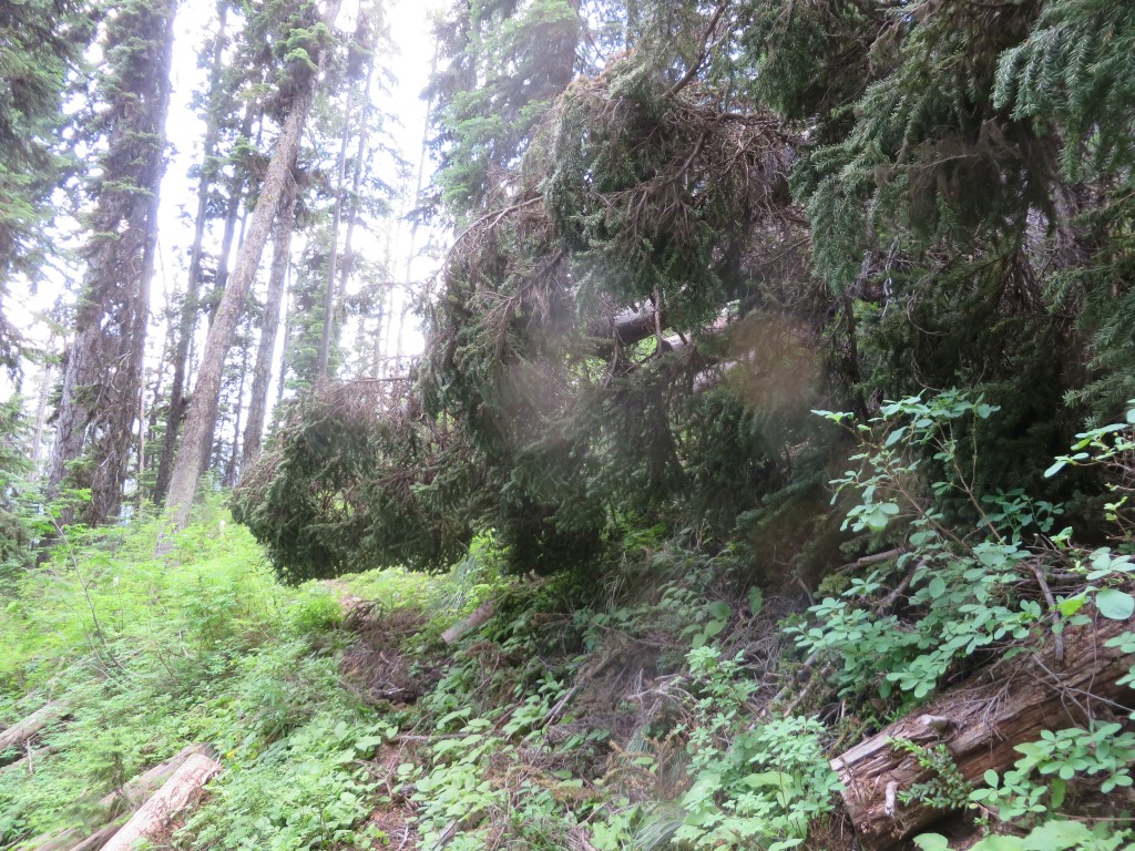
There was a modest number of blow-downs across the trail, some minor and some requiring a bit of work.
That wasn’t too bad
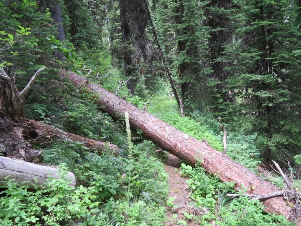
A few required a lot of work, especially a big, old spruce that fell down across the trail at a long, shallow angle
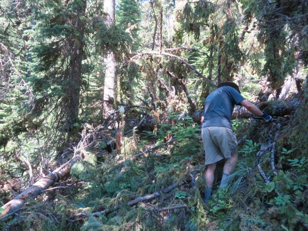
This is going to take a while!
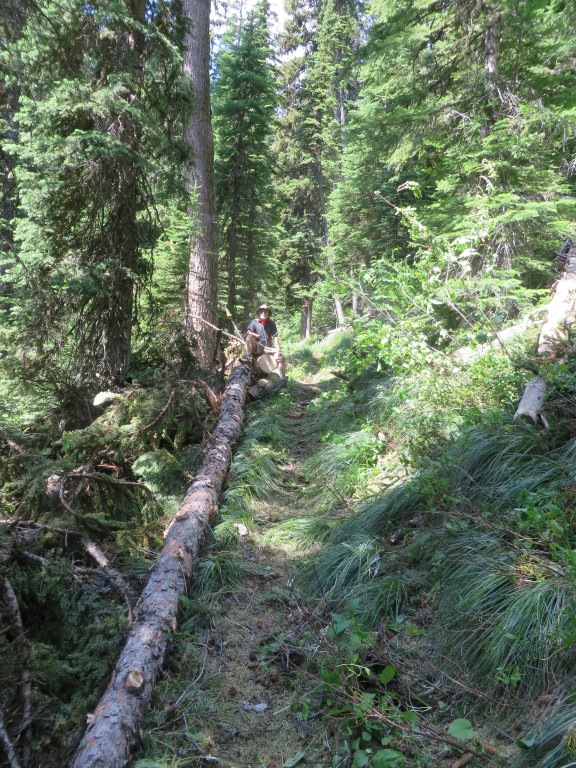
Cleared!

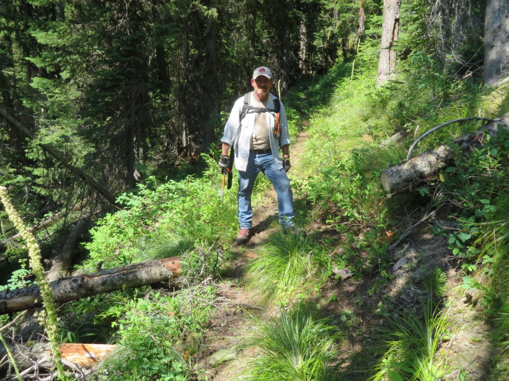
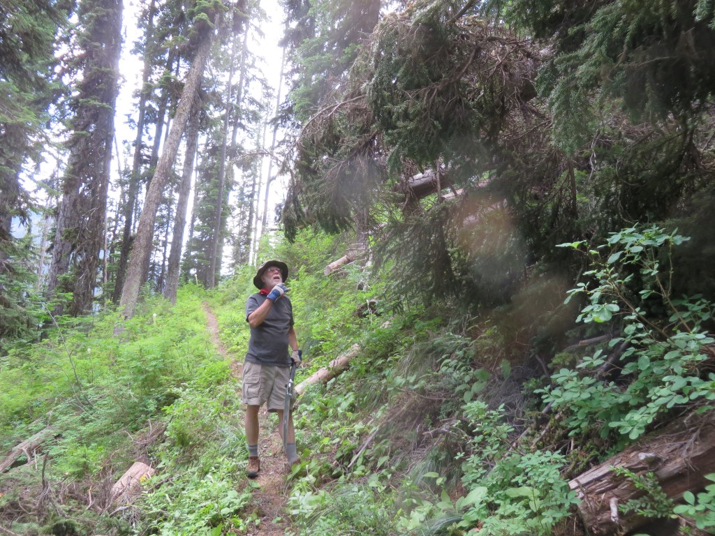
Randy feeling victorious
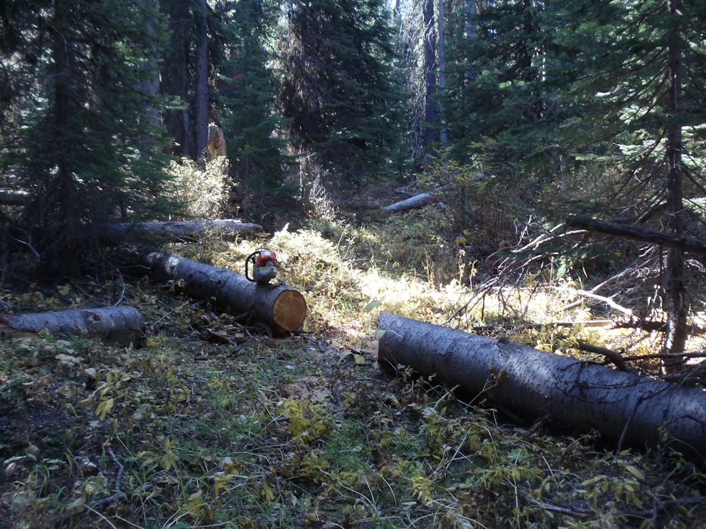
Downed spruce were by far the biggest nuisance.
Another fine mess we’ve gotten ourselves into
Not quite out of the way yet
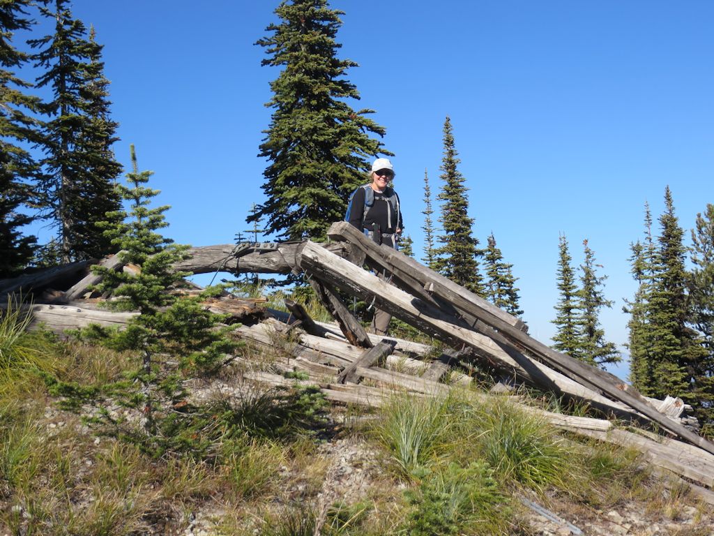
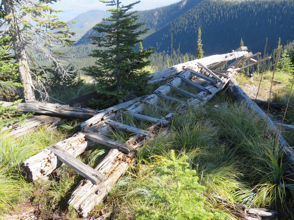
Unfortunately, we had to leave one monster as a (cough) step-over until we can get back up there with a chain saw. We’ll clear up this little detail in a few days.
This one needs a chain saw