Author Archives: Bill Walker

Forest Service backs off (for now) on reductions in Montana trail maintenance funding

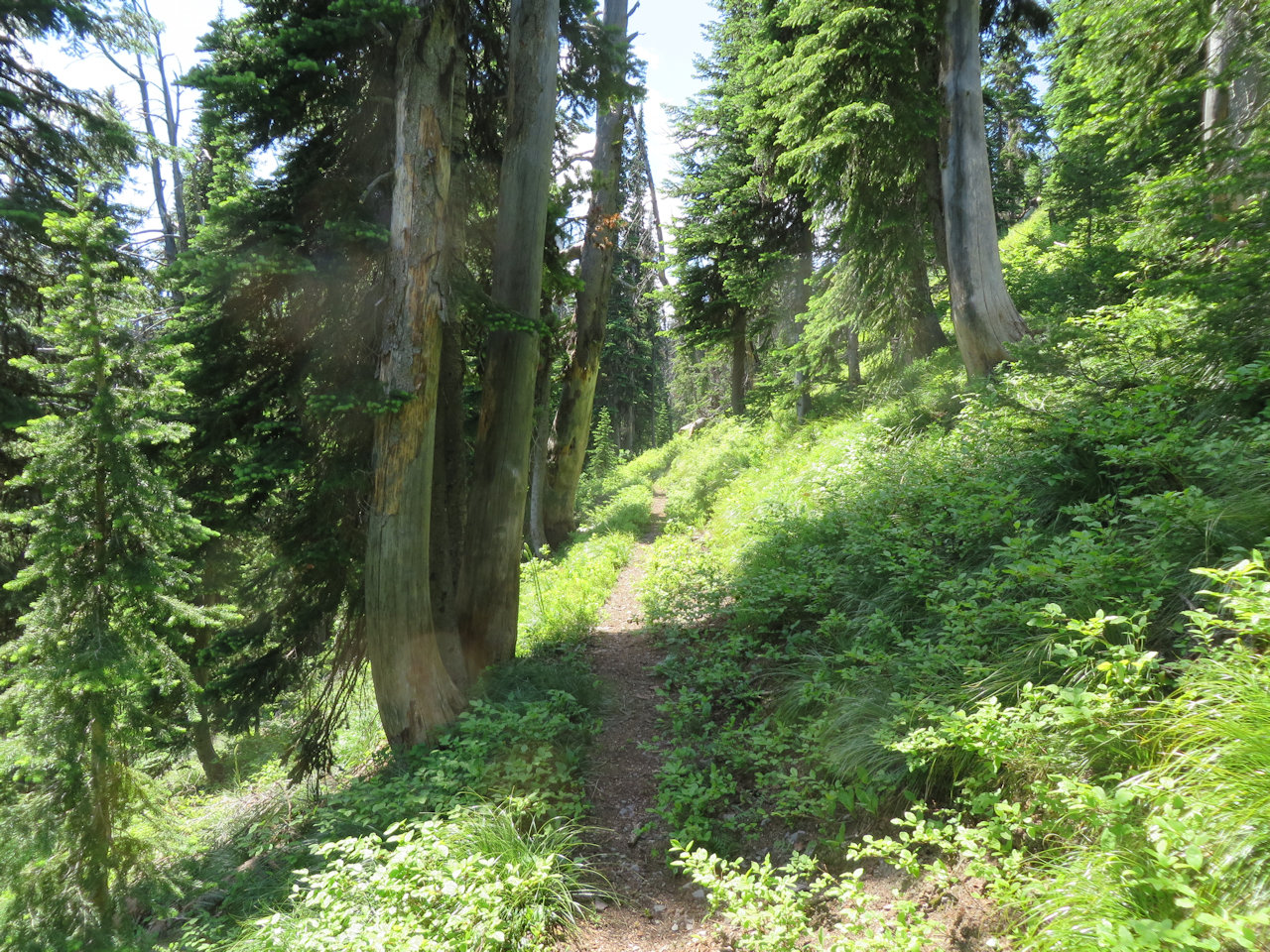
Trail 2, mile 2, Flathead NF, July 10, 2014 - by W. K. Walker

Trail 2, mile 2, Flathead NF, July 10, 2014 – by W. K. Walker

In the face of some angry senatorial blow-back, the Forest Service has restored full trail maintenance funding in Region 1. For now . . .

The U.S. Forest Service has dropped its proposal to reduce funding for trail maintenance in Montana. The agency originally planned to reduce appropriations for Region One, which includes Montana, by 30 percent over the next three years. This included a potential loss of $1 million to Montana’s federal trail budget this year.

U.S. Sens. Steve Daines and Jon Tester criticized Forest Service Chief Tom Tidwell last week for failing to prioritize trail maintenance in Montana. The agency proposed revising its formula for funding trail maintenance across the U.S. with an added emphasis on higher population centers. In Region One, there are 28,000 miles of federally managed trails.

The agency on Friday said it would reconsider the formula change and withdrew the proposal.

Read more . . .

Also read: Forest Service backs off planned cuts in trail maintenance in Montana (Missoulian)

MWA rolls out online Montana hiking guide

MWA - hikewildmontana.org poster

MWA – hikewildmontana.org poster

The Montana Wilderness Association announced today their shiny, new online hiking guide for Montana at hikewildmontana.org. Here’s what Brian Sybert, MWA executive director has to say about it:

Today, we’re celebrating a new chapter in MWA’s long and proud tradition of connecting people to Montana’s special places that deserve protection. We’re celebrating the state’s first-ever online, statewide trail guide – hikewildmontana.org.

Made possible by a generous grant from the Montana Office of Tourism, hikewildmontana.org is a one-stop, comprehensive tool for finding a trail in just about any given area across the state, east or west.

Hikewildmontana.org allows users to:

  • Discover trails recommended by local residents.
  • Locate trails on an electronic map.
  • Choose a perfect path based on distance and elevation gain.
  • View waterfalls, badlands, ancient forests, big views, and other natural wonders.
  • Review trail conditions added by recent hikers and add their own trip reports.
  • Contribute their own trail descriptions.
  • Find a great place near the trailhead to stay for the night or have breakfast, a burger, or a beer.

I encourage you to read more about the guide or check out hikewildmontana.org now and see all the great hikes that await, either in your backyard or the next time you visit Montana.

The 2016 trails season begins

No, really. We actually did a small trail project in February, not to mention a nice little ski trip.

On February 23, a couple of us — myself (Bill Walker) and Greg Evans — headed up Trail 266 towards Glacier View Peak from the trailhead near the Camas Road. We removed 22 blow-downs from the first mile of trail and had lunch with a view.

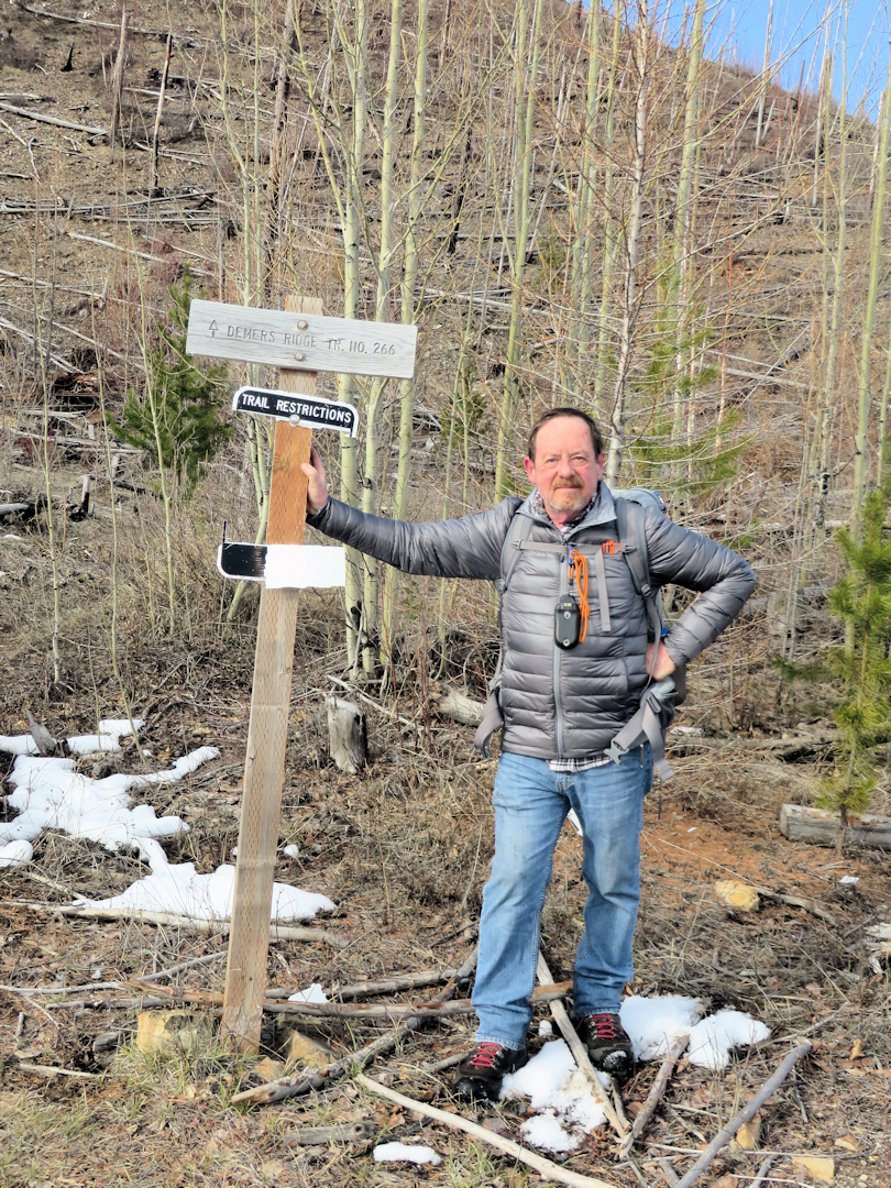
160223 - Trail 266 - Trailhead at Camas

Trail 266 – Trailhead at Camas

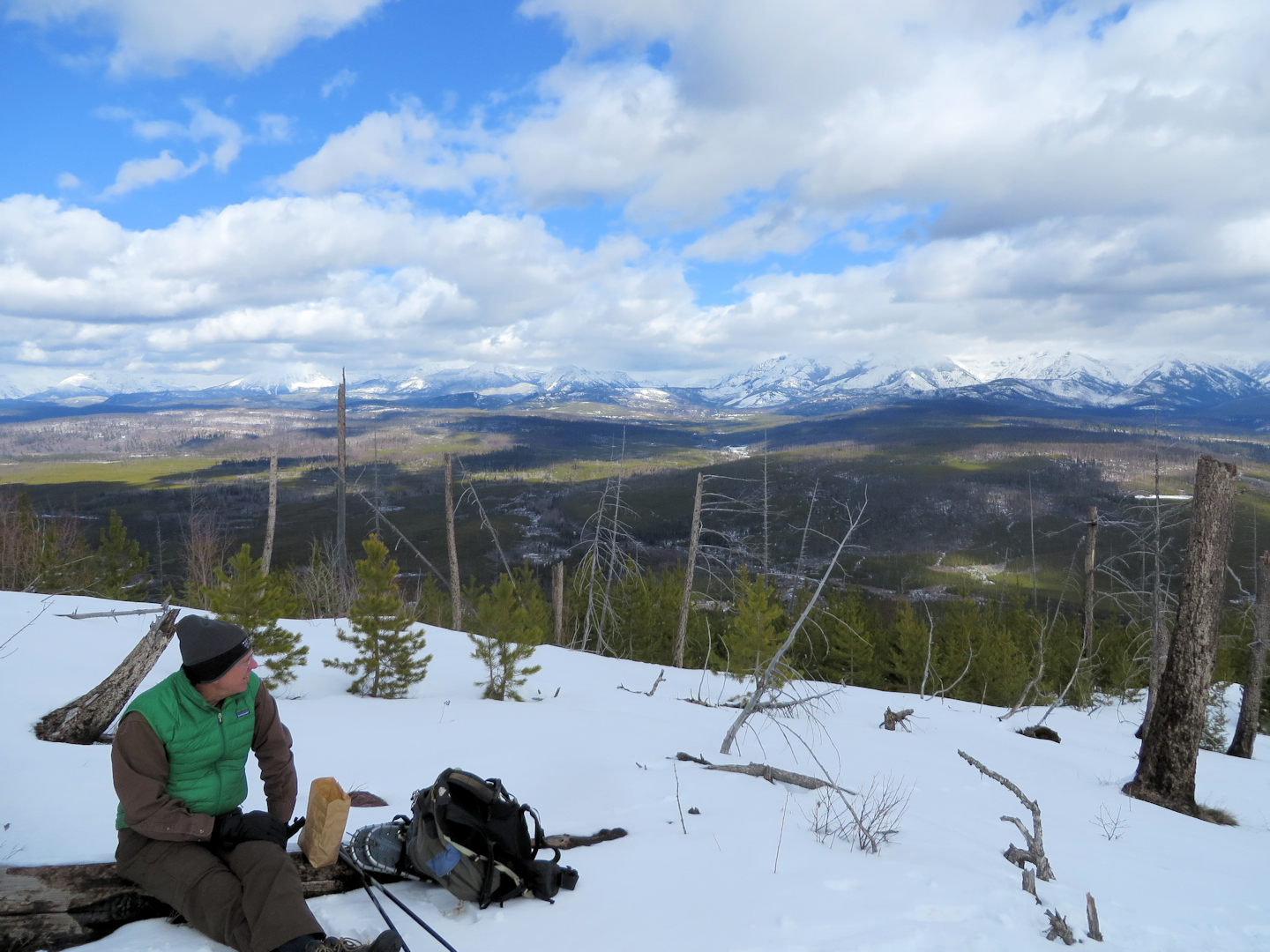
160223 - Trail 266 - Lunch

Trail 266 – Lunch With a View

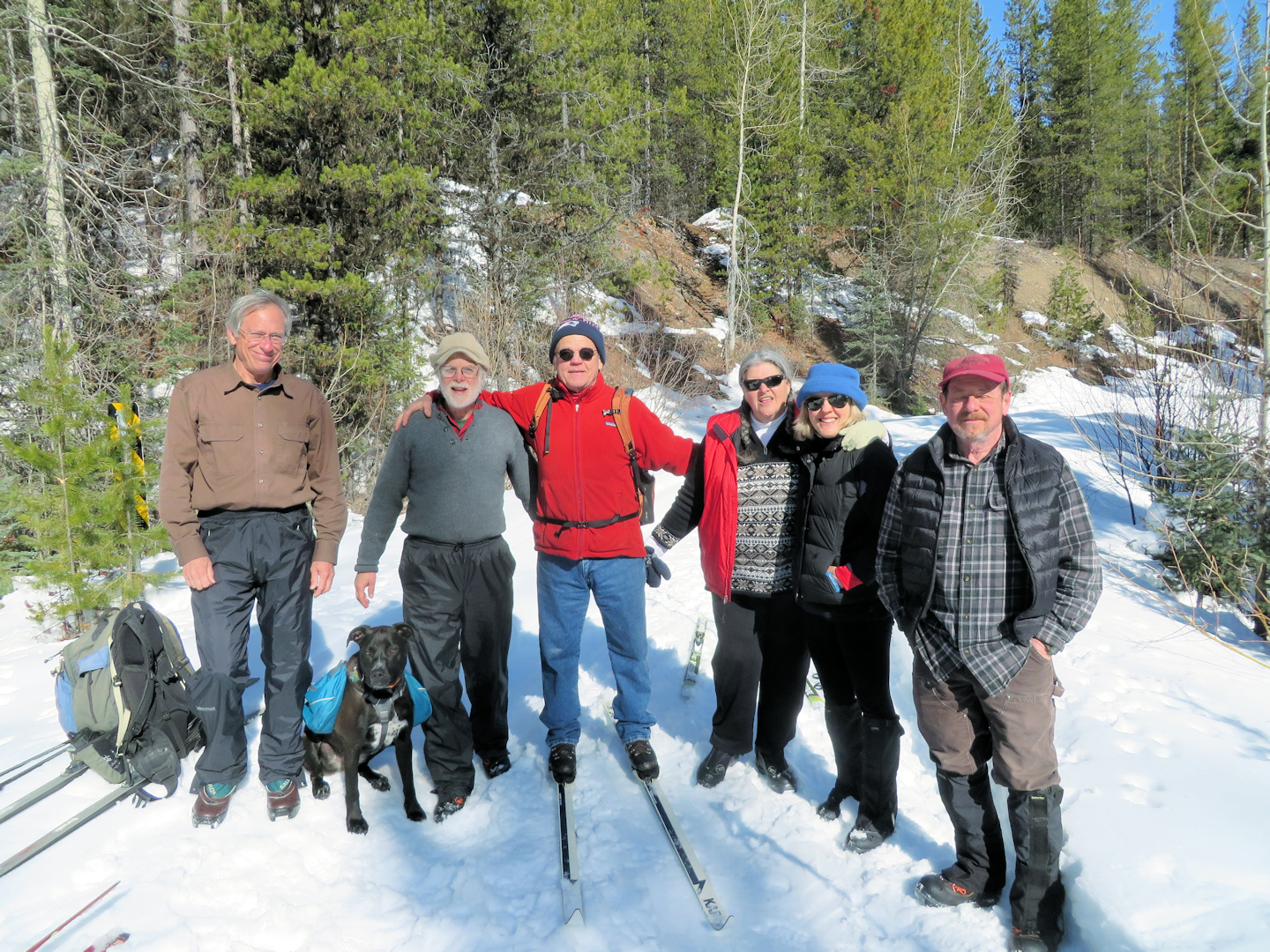
A few days later, a group of us had a pleasant ski up Road 909 from the Hay creek Road. Everyone had a good time. Upholding NFTA tradition, we cut out a couple of blow-downs on the way back.

160226 - Rd 909, Hay Creek Drainage

Road 909, Hay Creek Drainage – Left to right: Greg Evans, Ceder, Randy Kenyon, John O’Hara, Joyce O’Hara, Debo Powers, Bill Walker and Rachel Peura (behind the camera)

It was a nice start to what should be a good trails season.

2015 in review

Even with a very early start to the 2015 fire season, the North Fork Trails Association was active from mid-May right through the end of October. The tinder dry forest prevented us from using any tools that might strike a spark, but we found plenty to accomplish with the one-person saws that are becoming part of our standard kit and we did quite a bit of scouting throughout the North Fork.

Here, then, are a few highlights from the 2015 trails season…

We didn’t get much snow this year so, we were able to get boots on the trail by late May. The first expedition of any size was up Trail 4 on May 26. We were up and down this trail several times throughout the year.
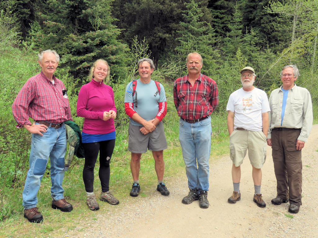
150526 - Trail 4 Hikers

Trail 4 Hikers

Another trail that got a lot of attention was the eastern section of the Pacific Northwest Trail where it passes through the North Fork — Trail 3 and a segment of Trail 26.
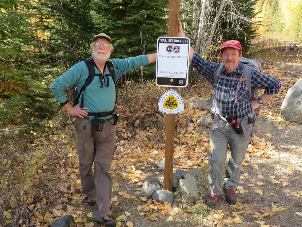
151011 - Trail 3 Trailhead

Trail 3 Trailhead

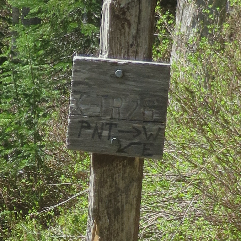
150609 - T26 at T3 Intersection - Sign Detail

T26 at T3 Intersection – Sign Detail

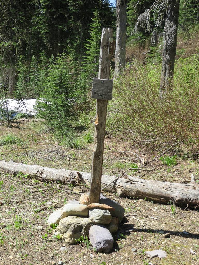
150609 - T26 at T3 Intersection

T26 at T3 Intersection

150709 - Trail 3 - Butterfly

Trail 3 – Butterfly

It was a very early fire season. Just as we hit our stride, the region began to get smoky. This view west along the Hay Creek drainage, was taken July 9. It got a lot worse later.
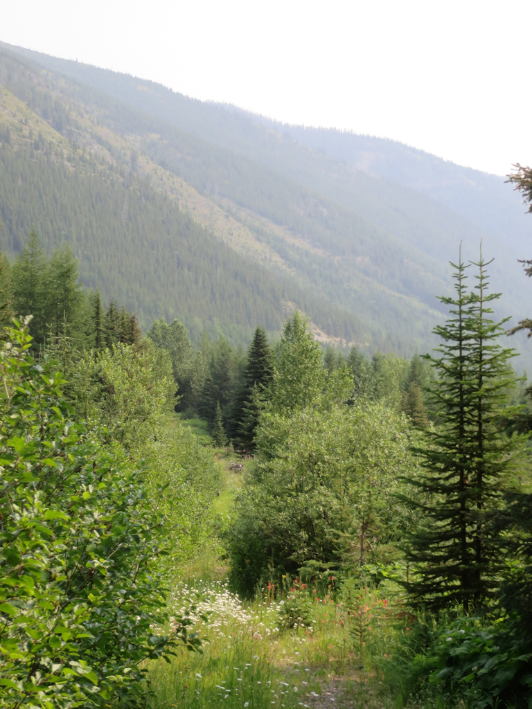
150709 - Trail 3 - Smoke

Trail 3 – Smoke

The old Cleft Rock Trail, Trail 13, got a number of visits early in the season, as we checked out several ways of accessing it. (The eastern end currently stops at private land.) There will be a lot more activity on this project in 2016.
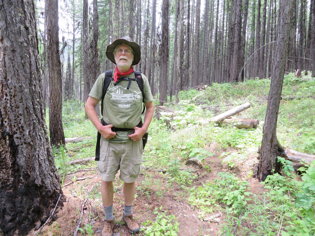
150629 - Randy on Cleft Rock Trail

Randy on Cleft Rock Trail in old Wedge Canyon Fire burn area

Before things got too smoky, we spent a fair amount of time in early July ensuring that Trail 2 was fixed up and ready for a “Wilderness Walks” hike scheduled for mid-July. Read about the hike here and the trail cleanup efforts here and here.

We’ll “draw the curtain of charity” over late summer, which was heavily shrouded in smoke from regional fires and dangerously dry. Besides, yours truly forgot to bring his camera.

We squeezed in several late season activities, including a couple of hikes up Lake Mountain on Trail 375. The first day we went up there, the air was so clear we could see smoke rising from a wildfire near the Idaho border, almost 70 miles to the west.
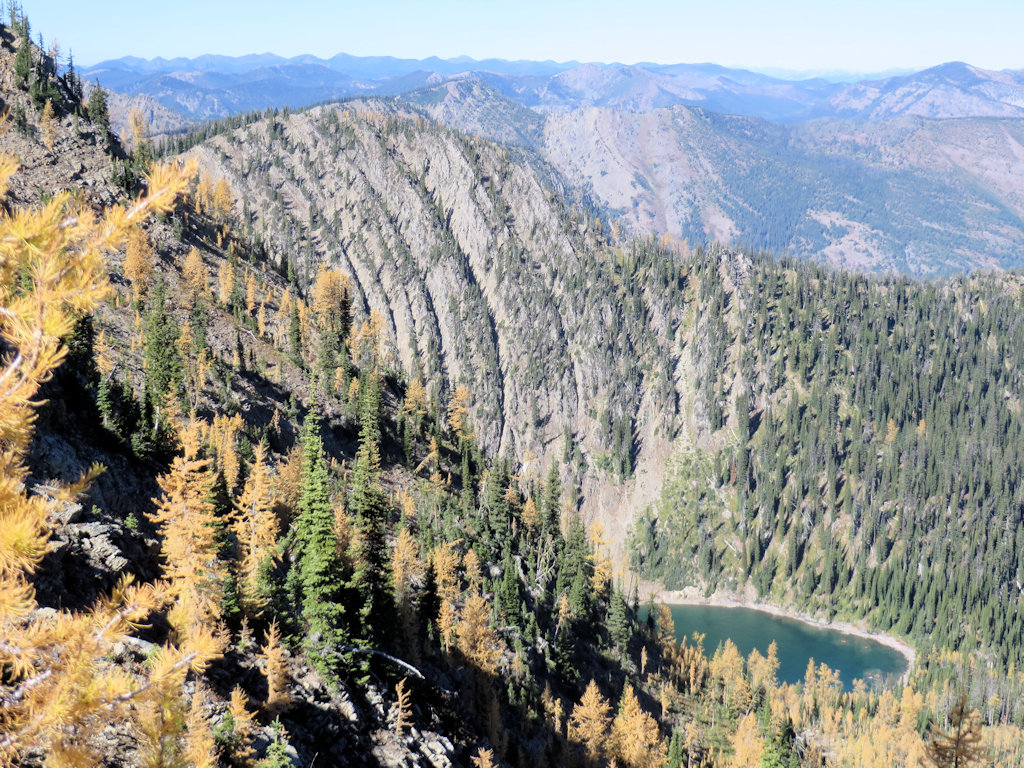
150928 - Trail 375 - Stony Basin Lake

Trail 375 – Stony Basin Lake

150930 - Trail 375 - Overlooking Chain Lakes

Trail 375 – Overlooking Chain Lakes

In early October we visited the Review Mountain Loop (Trails 113 and 23) a couple of times. The first trip was for our own purposes (setting additional cairns and some blow-down removal), the second was a very pleasant and productive meeting with Sean Cranmer of the U.S. Forest Service. Sean was handling trails issues this year. He took the time to drop by once the fires settled down and the smoke cleared.
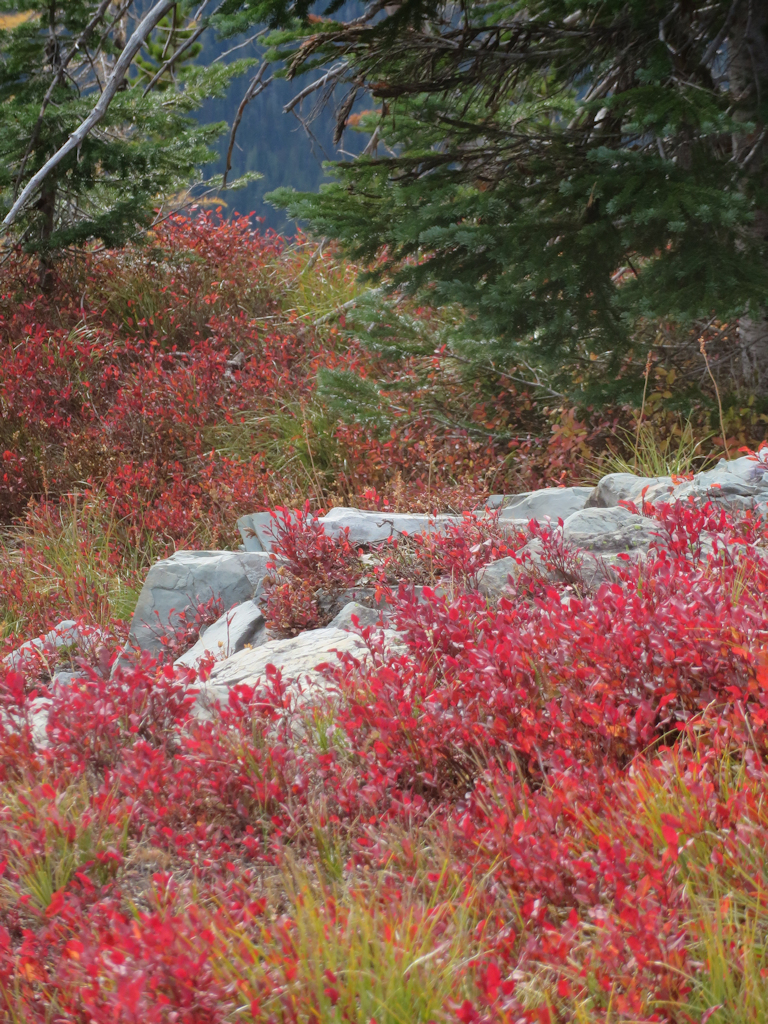
51004 - Review Mountain Loop - Fall Foliage

Review Mountain Loop – Fall Foliage

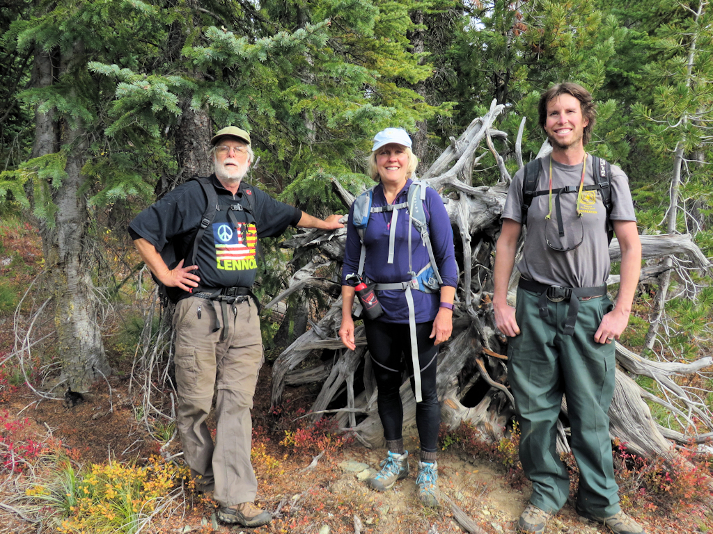
151007 - Review Basin Overlook Hike - People

Review Basin Overlook Hike – People

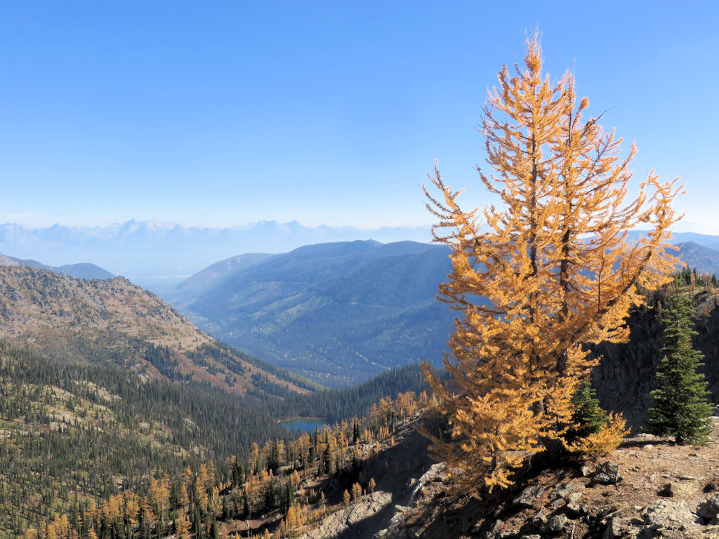
151007 - Review Basin Overlook Hike - Basin View

Review Basin Overlook Hike – Basin View

But wait, there’s more…

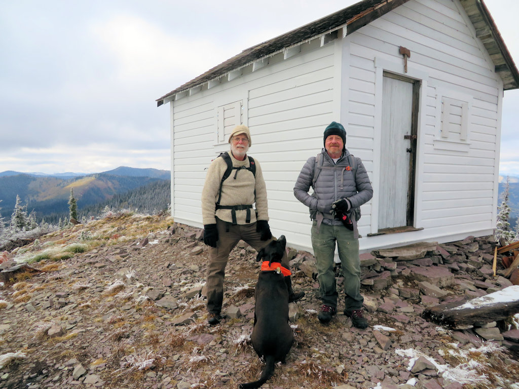
October 27 was the final trip to Hornet Lookout.
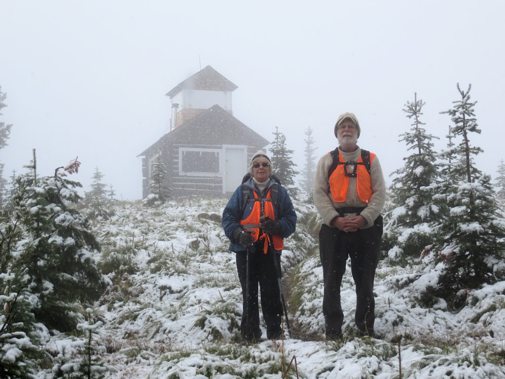
151027 - Hornet Lookout

Hornet Lookout

The season-ender was October 28, a last trip up Trail 239, the back door to Coal Ridge. Three of us cut out some blow-downs, excepting one that was a little big for the equipment we had on-hand, and signed the log at the Coal Ridge patrol cabin.
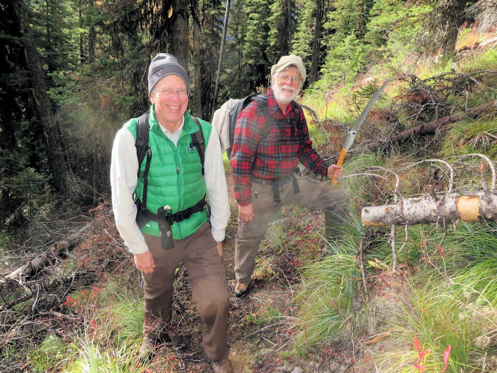
151028 - Trail 239 - Blow-down Removal

Trail 239 – Blow-down Removal

151028 - Trail 239 - Need a Bigger Saw

Trail 239 – Need a Bigger Saw

151028 - Coal Ridge Patrol Cabin

Coal Ridge Patrol Cabin

What about 2016? We’re already rolling. Watch this weblog for further developments.
U.S. Forest Service strategy document paints bleak picture

The Forest Service has had a conflicting set of goals for the last few decades but, for Region 1 at least, things seem to be coming to a head. And it is not good news, especially for trails . . .

A new strategy for managing public lands for recreation, heritage and wilderness paints a bleak picture of the U.S. Forest Service’s own ability to tackle the job.

“You could say this looks like a D-minus report card,” said George Bain, Forest Service Region 1 director of recreation, lands, minerals, heritage and wilderness. “To us, this is how it is. We wanted to take a good, hard look and develop a strategy for how to work in that world. We don’t have all the money we’d want. We don’t have all the workforce we’d want. We don’t have the ability to take care of everything the way we’d like. This is the landscape we’re working in. Let’s see how to address this.”

The 50-page document released last August got little notice outside the Region 1 Missoula headquarters. But it had been more than a year in the drafting, and it has been signed by Regional Forester Leanne Marten, her deputies and the supervisors of all 10 national forests that report to her.

And note this part:

“Workforce skills are also on the decline” in maintaining Region 1’s 28,000 miles of trail. Most of the five Wild and Scenic River corridors lack completed management plans.

In late January, Bain delivered further bad news to a roundtable of recreation partners – Region 1’s trail maintenance budget is taking a 30 percent cut. That’s going to be phased in with 10 percent increments during the next three years. The money was getting reallocated to places like California that have more user-days of trail use.

Read more . . .

See also: The Northern Region Sustainable Recreation, Heritage, Wilderness (RHW) Strategy 2015-2020 (1.68MB, PDF)