Winter Trails Day in the Flathead

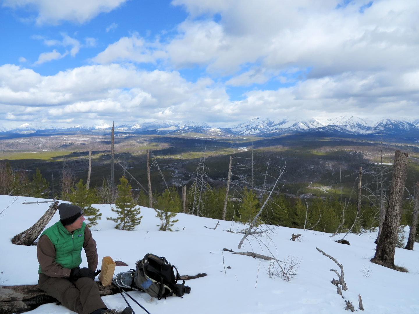
Lunch on Glacier View Mtn

Lunch on Glacier View Mtn

From the official Forest Service press release…

The Flathead Community of Resource Educators (CORE), a network of individuals and organizations working together to increase awareness and understanding about the natural, historical and cultural resources of the Flathead Region, is celebrating Winter Trails Day on Saturday, January 20 with several free outdoor activities.

These free activities are a great way to enjoy the outdoors in winter and discover the fitness and social benefits of snowshoeing and winter hiking in Northwest Montana. All activities are suitable for beginners and families. Be prepared with warm clothing and wear sturdy hiking shoes or boots. Bring along binoculars for catching a glimpse of winter birds.

  • Snowshoe walk in the Flathead National Forest, hosted by the Swan Lake Ranger District and Foy’s to Blacktail Trails, will be at the Blacktail Mountain cross-country ski trails near Lakeside, 10am-Noon. Come explore the winter landscape and enjoy a guided look at animal tracks, trees and shrubs and even the snowpack. Participants may bring snowshoes, or a limited number of children and adult shoes will be available by reservation. Please meet at the Blacktail Cross-Country Ski Trails parking area. For more information or to reserve snowshoes, please contact the Swan Lake Ranger District at 837-7500.
  • Explore Lone Pine State Park on snowshoes. Adult and children’s snowshoes are available on a first-come, first-served basis. A ranger-led snowshoe walk takes place from 2pm to 3:30pm. Please contact the park at 755-2706 for more information or to reserve snowshoes for a fee.
  • Ranger-led snowshoe hikes at Glacier National Park will be hosted at 10:30am and 2pm. Each hike will last approximately two hours and reservations are not required. Take an intimate look at the park searching for signs of wildlife, discovering plants and animals and enjoying the solitude of winter. Snowshoes are available for hike participants. Visitors need to purchase a park entrance pass. Please meet at the Apgar Visitor Center. Call 888-7800 for more information.
  • Join Flathead Audubon for a guided ‘Winter Birding and Tracking’ snowshoe hike along the river bottom trails at the Owen Sowerwine Natural Area in Kalispell, from 10am to Noon. Bring your snowshoes. Meet at the Montessori School parking lot on Willow Glen Ave. Call 249-3987 or email auduboneducator@gmail.com for more information and to register.

For more information about the above local events visit, http://flatheadcore.org/.

During the month of January there are other opportunities to get outdoors and enjoy winter trails, including a ‘Winter Walk’ on snowshoes with the Montana Wilderness Association to Stanton Lake on January 13 and a winter ecology walk in the Condon area, January 27 with Swan Valley Connections, (http://wildmontana.org) . On January 20 Glacier Nordic Club hosts Winter Trails Day from 11am to 3pm at Whitefish Lake Golf Course with free rentals, trail passes and more.
US Forest Service map prices set to increase January 1, 2018

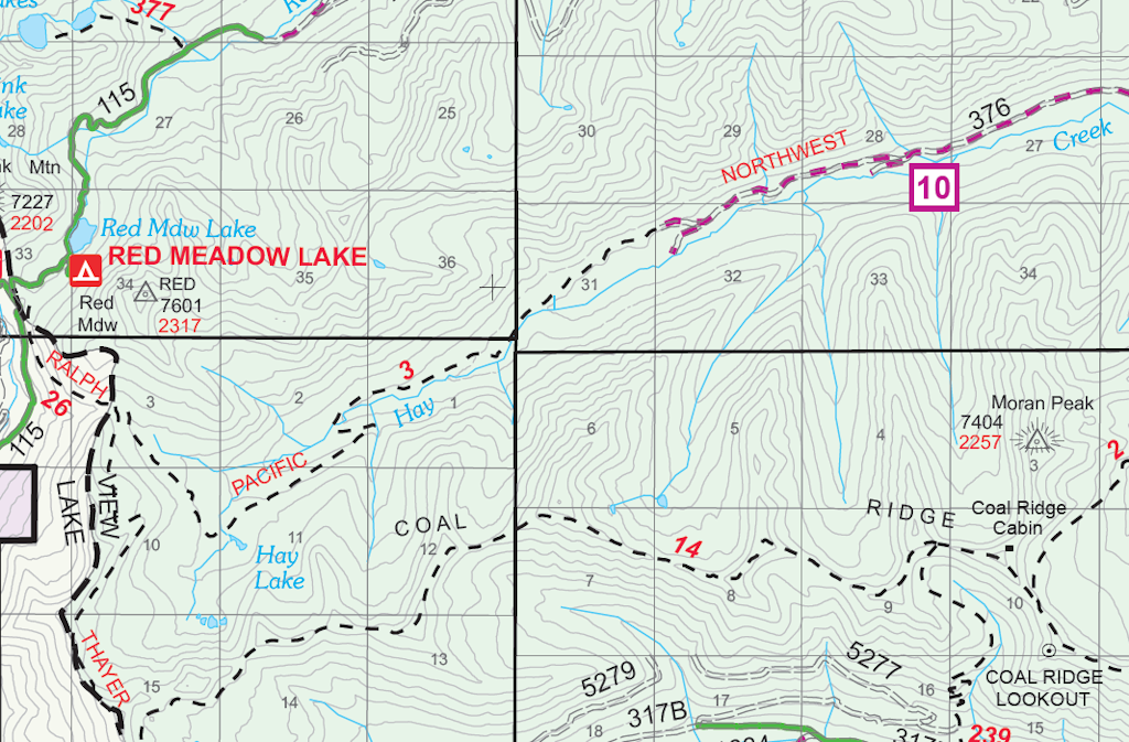
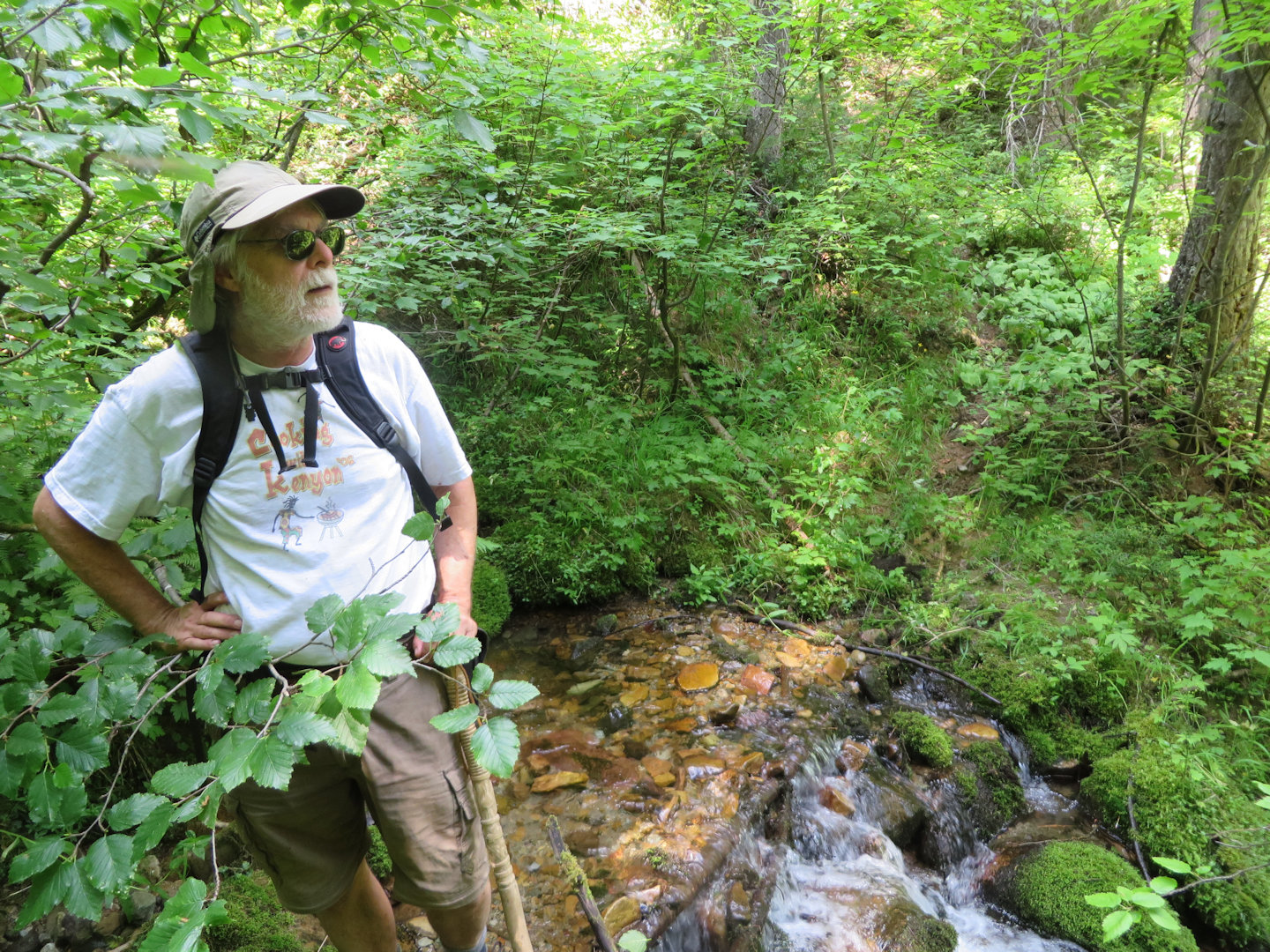
Hay Creek Drainage - West End

Hay Creek Drainage – West End

Well, rats. USFS map prices are going up. Here’s the meat of the official press release . . .

For the first time in nearly a decade, increasing costs of production, printing, and distribution are driving the need for the U.S. Department of Agriculture’s U.S. Forest Service to increase the price of its maps. Prices of USFS paper and plastic coated maps will increase to $14 on Monday, Jan. 1, 2018.

The Forest Service continually updates its maps and looks for ways to enhance maps. The Forest Service expects to shorten the revision cycle as cartographers continue to apply new digital technology to the map revision process.

The Forest Service is also working to increase the availability of digital maps. Digital maps for mobile applications can be downloaded here: http://www.avenza.com/pdf-maps/store. Digital maps cost $4.99 per side.

There are three ways to order maps from the National Forest Map Store (NFMS):

  1. Online: www.NationalForestStore.com
  2. By phone: (406) 329-3024
  3. By US Mail:

USDA Forest Service
National Forest Store
P.O. Box 7669
Missoula, MT 59807

In an effort to help offset the pricing increase for volume sales, starting Jan. 1, 2018 discount pricing will be made available on sales of 10 or more of maps of the same title. Discounted maps are only available when purchased through the NFMS.

The U.S. Forest Service is dedicated in researching, producing and distributing informative, accurate maps that can help improve the experience on America’s national forests and grasslands. Additional online resources that may help users enjoy the great outdoors:
— Interactive Visitor Map to help you find great places to go and explore
— Know Before You Go for tips that can help you enjoy the outdoors and be safe

2017 end-of-season trail reports posted

Stream Crossing, Cleft Rock Mtn, July 27, 2017 - by W. K. Walker

Stream Crossing, Cleft Rock Mtn, July 27, 2017 – by W. K. Walker

The October 3 Forest Service Trail Condition Reports for the Hungry Horse and Glacier View ranger districts have been posted to the website Trail Conditions page.

These are the final reports for the 2017 season. They will resume when trail maintenance activity starts back up in the spring.

Trail Condition Reports contain a fair amount of useful information. Besides trail conditions, they include trail numbers, their official names and end-to-end mileages. The reports may also list information on trail and area closures, especially during fire season.

Trail condition reports for September 25 posted

Whitefish Divide Trail (T26) near T3 intersection, July 12, 2017 - W. K. Walker

Whitefish Divide Trail (T26) near T3 intersection, July 12, 2017 – W. K. Walker

The September 25 Forest Service Trail Condition Reports for the Hungry Horse and Glacier View ranger districts have been posted to the website Trail Conditions page.

These reports contain a fair amount of useful information. Besides trail conditions, they include trail numbers, their official names and end-to-end mileages. The reports may also list information on trail and area closures, especially during fire season.

This is likely the next to last set of reports for the year.

Trail Creek Road reopens; trail closures remain

Trail Creek/Graves Creek Road (#114) is open again, but the trail closures in the upper Trail Creek and Whale Creek drainages are still in place.

Canyon Creek Road (#316) has also been reopened.

Here’s the full official press release . . .

Forest System Road #114 Trail Creek /Graves Creek is now open. It was closed for public safety due to fire activity from the Gibraltar Ridge and Weasel Fires. The road closure began at Tuchuck Campground and extended through the Kootenai National Forest to Graves Creek (Milepost 8.8 – 14.8). The area closures in upper Trail Creek (including Tuchuck Mountain), and Upper Whale Creek will remain in place until further assessments can be made. The Area Closure remains in place due to active fire still present in these areas and fire directly impacting system trails.

Use caution when driving through open roads in the area; crews and equipment may be working, you may encounter activity on the road system.

Additionally, permanent repairs have been accomplished on Canyon Creek Road #316, located approximately 5 miles north of Columbia Falls on the Glacier View Ranger District. Effective immediately, the road is now open from the intersection of Road #316 and 316D (9 mile); west 7 miles to the intersection with Forest Road #316C (South Fork of Canyon Creek). The Kimmerly Road (FS Rd 316B) remains closed to motorized use from its junction of the 316 Road and beyond, due ongoing repair work. The Kimmerly Road is expected to be open for snowmobiles and grooming operations this coming winter.

While recreating on the Flathead National Forest, users are advised to use caution when traveling on Forest roads; encountering heavy truck or other vehicle traffic is common. Please do not to block gates on Forest roads, and report any road damage, or road issues of concern to your local forest service office.

For updated information on temporary road restrictions, campgrounds, and access on the Flathead National Forest, please contact the respective ranger district in your area:

Hungry Horse/Glacier View at (406) 387-3800, Tally Lake at (406) 758-5204, Swan Lake at (406) 837-7500, or Spotted Bear at (406) 758-5376 or (406) 387-3800.

Trail condition reports for September 13 posted

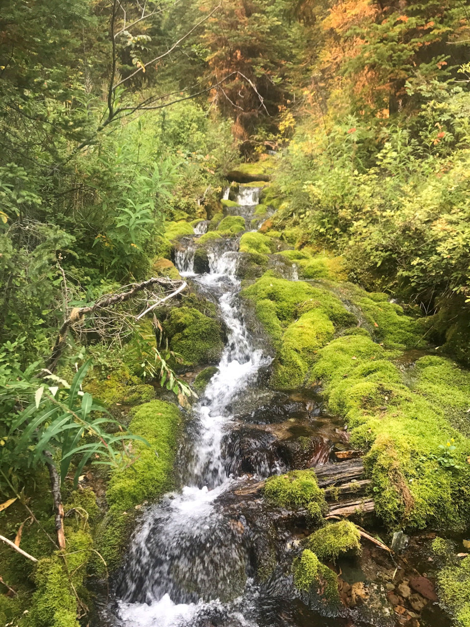
Waterfall along trail to Thompson-Seton, Sep 10, 2017 - photo by Dick Leigh

Waterfall along trail to Thompson-Seton, Sep 10, 2017 – photo by Dick Leigh

The September 13 Forest Service Trail Condition Reports for the Hungry Horse and Glacier View ranger districts have been posted to the website Trail Conditions page.

These reports contain a fair amount of useful information. Besides trail conditions, they include trail numbers, their official names and end-to-end mileages. The reports may also list information on trail and area closures, especially during fire season.

Note that the entire area is currently under Stage II fire restrictions!