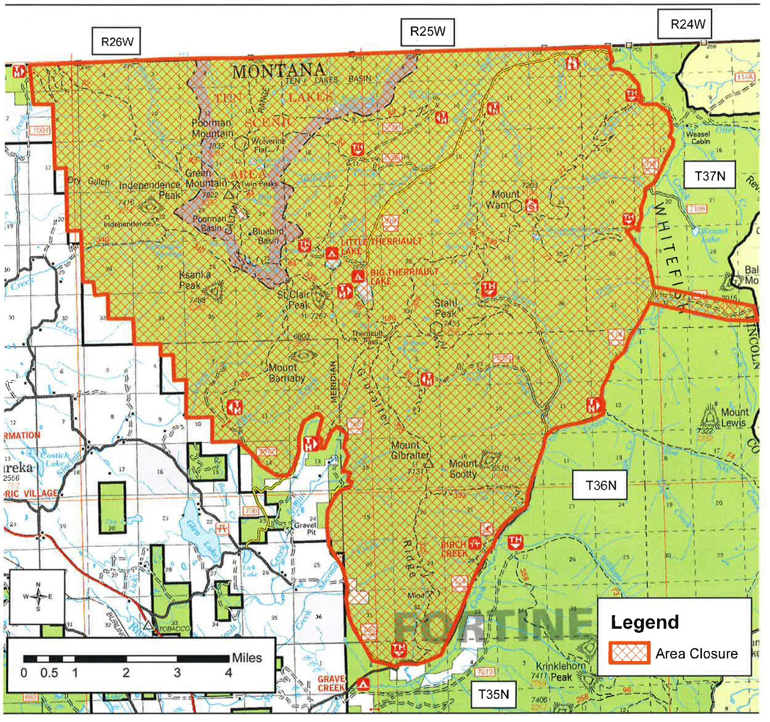
Gibraltar Ridge Fire Closure Map, Aug 8, 2017
A closure order was issued this afternoon in the Kootenai National Forest as a result of the Gibraltar Ridge Fire in the Eureka area.
This closure affects travel from the North Fork over Trail Creek into the Kootenai. The Forest Service is posting signs at the North Fork Road/Trail Creek Road junction, and at the Tuchuck Trailhead.
This also affects the Pacific Northwest Trail (PNT). Notifications are going up at strategic trailheads for the PNT in both the Kootenai and Flathead Forests.
For more information on the Gibraltar Ridge Fire, see the Inciweb page at https://inciweb.nwcg.gov/incident/5474/