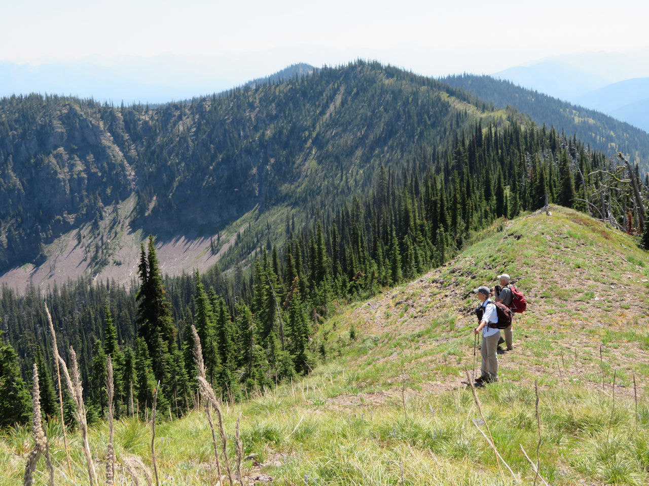
Category Archives: Trail Reports

Trail condition reports for July 2 posted

Whale Falls, June 25, 2018 - by W. K. Walker

Whale Falls, June 25, 2018 – by W. K. Walker

The July 2, 2018 Forest Service Trail Condition Report for the Hungry Horse Ranger District has been posted to the website Trail Conditions page. The Glacier View District update should be available shortly.

These reports contain a fair amount of useful information. Besides trail conditions, they include trail numbers, their official names and end-to-end mileages. The reports may also list information on trail and area closures, especially during fire season.

Trail condition reports for June 25 posted

Lower Chain Lake, June 15, 2018 - by W. K. Walker

Lower Chain Lake, June 15, 2018 – by W. K. Walker

The June 25, 2018 Forest Service Trail Condition Reports for the Hungry Horse and Glacier View ranger districts have been posted to the website Trail Conditions page. Note that the North Fork Trails Association cleared the Cyclone Lookout Trail (T40) on May 20.

These reports contain a fair amount of useful information. Besides trail conditions, they include trail numbers, their official names and end-to-end mileages. The reports may also list information on trail and area closures, especially during fire season.

2017 end-of-season trail reports posted

Stream Crossing, Cleft Rock Mtn, July 27, 2017 - by W. K. Walker

Stream Crossing, Cleft Rock Mtn, July 27, 2017 – by W. K. Walker

The October 3 Forest Service Trail Condition Reports for the Hungry Horse and Glacier View ranger districts have been posted to the website Trail Conditions page.

These are the final reports for the 2017 season. They will resume when trail maintenance activity starts back up in the spring.

Trail Condition Reports contain a fair amount of useful information. Besides trail conditions, they include trail numbers, their official names and end-to-end mileages. The reports may also list information on trail and area closures, especially during fire season.

Trail condition reports for September 25 posted

Whitefish Divide Trail (T26) near T3 intersection, July 12, 2017 - W. K. Walker

Whitefish Divide Trail (T26) near T3 intersection, July 12, 2017 – W. K. Walker

The September 25 Forest Service Trail Condition Reports for the Hungry Horse and Glacier View ranger districts have been posted to the website Trail Conditions page.

These reports contain a fair amount of useful information. Besides trail conditions, they include trail numbers, their official names and end-to-end mileages. The reports may also list information on trail and area closures, especially during fire season.

This is likely the next to last set of reports for the year.

Trail condition reports for September 13 posted

Waterfall along trail to Thompson-Seton, Sep 10, 2017 - photo by Dick Leigh

Waterfall along trail to Thompson-Seton, Sep 10, 2017 – photo by Dick Leigh

The September 13 Forest Service Trail Condition Reports for the Hungry Horse and Glacier View ranger districts have been posted to the website Trail Conditions page.

These reports contain a fair amount of useful information. Besides trail conditions, they include trail numbers, their official names and end-to-end mileages. The reports may also list information on trail and area closures, especially during fire season.

Note that the entire area is currently under Stage II fire restrictions!

Gibraltar Ridge and Weasel Fire – Road, Trail & Area Closures

Gibraltar-Weasel Closure Map, Sep 10, 2017

Gibraltar-Weasel Closure Map, Sep 10, 2017

This just in from the Flathead National Forest . . .

Media Contact: Janette Turk
(406) 758-5252
jturk@fs.fed.us

Kalispell, MT. September 10, 2017- The Gibralter Ridge Fire and the Weasel fire are burning in the Kootenai National Forest approximately 7 miles east of Eureka.  The east side of the Gibraltar fire has moved into the mouth of the Blue Sky drainage in the Whitefish Range.  The Weasel fire has moved near the Flathead and Kootenai forest boundary.  To protect health and public safety by keeping the public out of the active fire area, the Kootenai National Forest has closed a large area from the Whitefish divide to the west boundary of the Fortine District, and from the Canadian Border to Deep Creek. The Flathead National Forest has closed an area north of Link lake trailhead north to the Canada border and east of the Kootenai border.

The following NFS Road is partially closed:

  • A portion of NFS Road #114 (Trail Creek Road) from the Flathead National Forest boundary to the junction with Stoken Bridge/Foothills Road. To support these efforts the Flathead National Forest has installed a gate on NFS Road #114 (Trail Creek) and has closed NFS Road #114 from mile point 8.8 to 14.8, the boundary with the Kootenai National Forest.

The following NFS trails are closed:

  • Trails 19, 23, 114, 113, 22, 13, 28, 79, 11, 13, 106 and 26 from the Link lake TH to the north.

The following NFS area is closed:

  • Area from the Link lake TH north along the Kootenai/Flathead NF boundary to the Canada border

Forest fire fighting resources are supporting the fires listed above and are prepared with initial attack resources as needed.  For more information contact the Hungry Horse/Glacier View District at 406-387-3800.